Landmark: Bluff Park
City: Natchez
Country: USA Mississippi
Continent: North America
Bluff Park, Natchez, USA Mississippi, North America
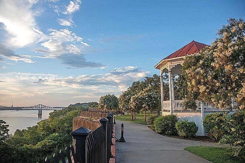
Bluff Park is a public green space situated along the Mississippi River in Natchez, Mississippi. It offers elevated views of the river and surrounding landscape.
Visual Characteristics
The park features a sloped terrain covered in mowed grass. Mature oak and pecan trees provide canopy cover. The primary visual element is the expansive view of the Mississippi River, which varies in width and current depending on river levels. The riverbanks are characterized by exposed soil and vegetation.
Location & Access Logistics
Bluff Park is located at the western edge of Natchez, Mississippi, directly west of downtown. Access is via North Canal Street, which terminates at the park entrance. The park is approximately 1.5km west of the Natchez city center. Parking is available in a designated gravel lot at the park's eastern end. No public transport directly serves the park; visitors typically arrive by private vehicle.
Historical & Ecological Origin
The area's ecological origin is tied to the Mississippi River's alluvial plain, shaped by centuries of sediment deposition. Historically, the bluffs served as a strategic vantage point. The park itself was established as a municipal project to preserve riverfront access and views.
Key Highlights & Activities
Observation of river traffic is a primary activity. Walking paths are present throughout the park. Photography of the river and sunsets is common. Picnicking is permitted.
Infrastructure & Amenities
Restrooms are available near the parking area. Several picnic tables are distributed throughout the park, some under tree cover. Cell phone signal (4G/5G) is generally reliable. No food vendors operate within the park; nearest options are in downtown Natchez.
Best Time to Visit
For photography, late afternoon and sunset offer optimal lighting conditions. The months of April through October generally provide the most pleasant weather for outdoor activities. River levels can fluctuate significantly; high water may obscure some bank areas.
Facts & Legends
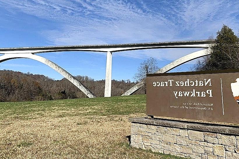
Local lore suggests that during the Civil War, Confederate soldiers used these bluffs to observe Union troop movements on the river. A specific historical oddity is the park's proximity to the historic Natchez Trace Parkway terminus, a significant pre-colonial and historic transportation route.
Nearby Landmarks
- Natchez Trace Parkway Visitor Center (0.8km Northeast)
- Historic Natchez City Cemetery (1.2km East)
- St. Mary Basilica (1.8km East)
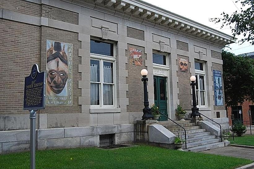
- Natchez Museum of African American History & Culture (2.0km East)
- Forks of the Road Slave Market Site (2.5km Southeast)