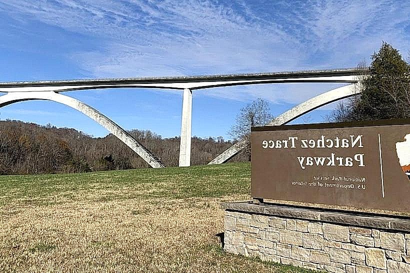
Landmark: Natchez Trace Parkway
City: Natchez
Country: USA Mississippi
Continent: North America
Natchez Trace Parkway, Natchez, USA Mississippi, North America
The Natchez Trace Parkway is a scenic driving route traversing 444 miles through Mississippi, Alabama, and Tennessee. It follows the general path of an ancient Native American trail and later a route used by traders and travelers.
Visual Characteristics
The parkway is a two-lane, non-commercial road with a 50 mph speed limit. It is characterized by rolling hills, dense deciduous forests, and open fields. Numerous historical markers, picnic areas, and overlooks are situated along its length. The road surface is asphalt, and the surrounding landscape varies from dense woodland to agricultural areas.
Location & Access Logistics
The southern terminus of the Natchez Trace Parkway is located in Natchez, Mississippi, at the intersection with Highway 61. The parkway extends north to near Nashville, Tennessee. Access points are numerous and clearly marked with brown signs. There are no entrance fees. Parking is available at designated pull-offs, visitor centers, and historical sites. Public transport is not available along the parkway itself; a private vehicle is required for exploration.
Historical & Ecological Origin
The route's origins date back thousands of years to trails used by Native American tribes, including the Natchez, Chickasaw, and Choctaw. In the early 19th century, it became a significant route for "Kaintuckee" boatmen returning north after floating goods down the Mississippi River. The modern parkway was developed by the National Park Service, with construction beginning in the 1930s, to preserve the historical corridor and provide a recreational drive.
Key Highlights & Activities
Driving the entire length of the parkway is the primary activity. Specific points of interest include the Emerald Mound (a large Native American ceremonial site), the Sunken Trace (a preserved section of the original trail), and various historical markers detailing the area's past. Hiking trails are available at several locations, such as the Bear Creek Mound Trail and the Cypress Swamp Nature Trail. Picnicking is permitted at designated areas.
Infrastructure & Amenities
Restrooms are available at visitor centers and some larger pull-offs. Shade is provided by the surrounding forest canopy at many overlooks and picnic areas. Cell phone signal is intermittent and often unavailable along large sections of the parkway. Food vendors are not present directly on the parkway; visitors should plan to bring their own food and beverages or stop in towns adjacent to access points.
Best Time to Visit
The best time of day for photography is generally during the early morning or late afternoon when the sun angle is lower, creating longer shadows and warmer light. The most pleasant months for visiting are spring (April-May) and fall (September-October) due to moderate temperatures and fall foliage. Summer can be hot and humid, and winter can bring occasional ice or snow, though the parkway typically remains open.
Facts & Legends
A unique historical oddity is the "Old Trace" itself, which in some sections has eroded over centuries to form deep gullies, some of which are still visible and accessible. These sunken sections demonstrate the intense foot traffic and erosion that occurred historically.
Nearby Landmarks
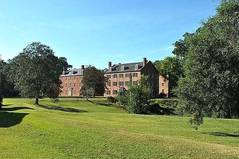
- Natchez National Historical Park (0.5km West)
- St. Catherine Creek National Wildlife Refuge (15km Southwest)
- Grand Gulf Military State Park (30km North)
- Vicksburg National Military Park (70km North)