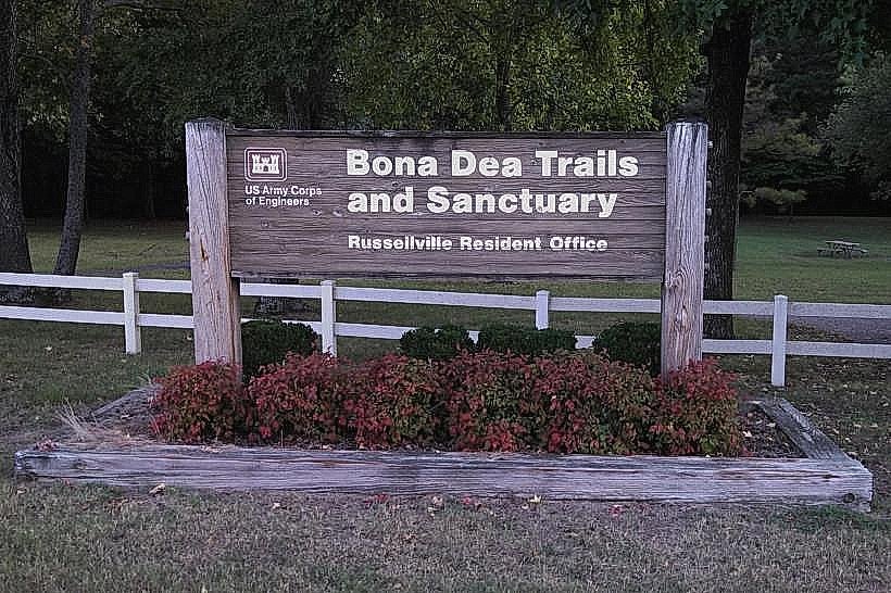
Landmark: Bona Dea Trails & Sanctuary
City: Russellville
Country: USA Arkansas
Continent: North America
Bona Dea Trails & Sanctuary, Russellville, USA Arkansas, North America
The Bona Dea Trails & Sanctuary is a network of hiking paths and a protected natural area located in Russellville, Arkansas, USA.
Visual Characteristics
The trails traverse varied terrain, including forested areas with mature deciduous trees and open fields. The sanctuary encompasses approximately 110 acres of mixed woodland and grassland. Elevation changes are moderate, with some sections featuring rocky outcrops and stream beds.
Location & Access Logistics
The sanctuary is situated approximately 5 kilometers west of downtown Russellville. Access is via State Highway 7 South. Turn west onto Old State Road 7, then proceed 1.5 kilometers to the main entrance. A dedicated gravel parking lot is available at the trailhead, with capacity for approximately 30 vehicles. No public transport services directly reach the sanctuary entrance.
Historical & Ecological Origin
The land was historically part of agricultural holdings before being designated as a sanctuary. Ecologically, it represents a transition zone between the Ozark Highlands and the Arkansas River Valley, supporting a diverse range of flora and fauna typical of this region.
Key Highlights & Activities
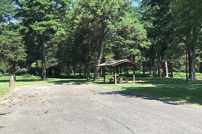
Hiking is the primary activity. The trail system includes three marked loops: the 1.2km Meadow Loop, the 2.5km Forest Loop, and the 4.0km Ridge Loop. Birdwatching is possible throughout the sanctuary. Photography of natural landscapes is permitted.
Infrastructure & Amenities
Restrooms are available at the main trailhead parking area. Limited shade is present along the trails, primarily within the forested sections. Cell phone signal (4G) is intermittent and generally weak within the sanctuary. No food vendors are located on-site; visitors should bring their own provisions.
Best Time to Visit
For optimal lighting for photography, early morning (07:00-09:00) and late afternoon (16:00-18:00) are recommended. The months of April through October offer the most favorable weather conditions for hiking. Spring (April-May) provides abundant wildflowers, while autumn (September-October) offers fall foliage.
Facts & Legends
A local anecdote suggests that the name "Bona Dea" was chosen due to the area's perceived tranquility and natural beauty, referencing the Roman goddess of fertility and healing. No verifiable historical legends are associated with the site.
Nearby Landmarks
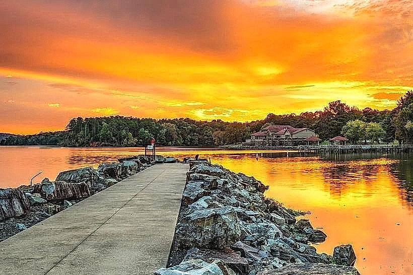
- Lake Dardanelle State Park (3.5km Southeast)
- Arkansas Tech University Museum (4.8km East)
- Old Post Road Park (4.2km South)
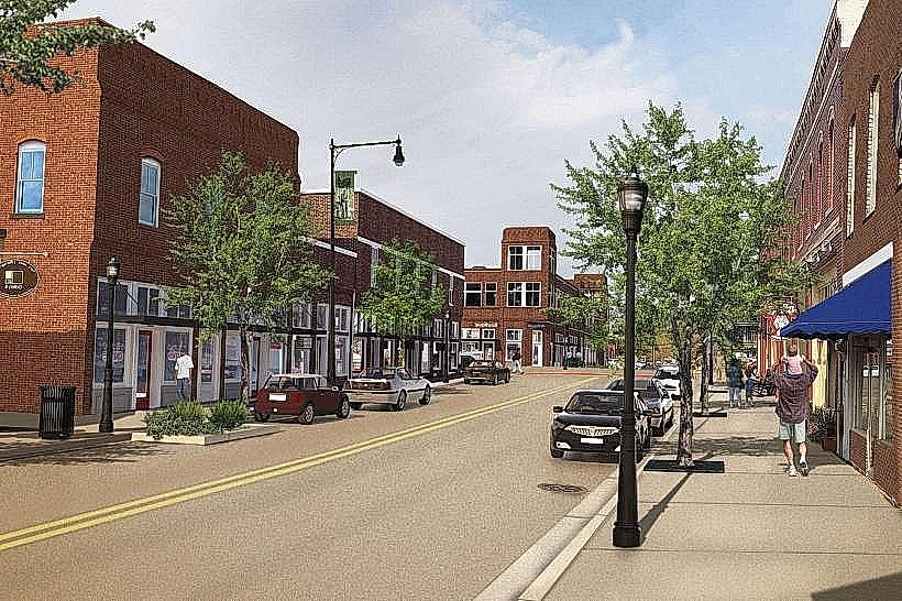
- Russellville Downtown Historic District (5.0km East)