Landmark: Braulio Carrillo National Park
City: Heredia
Country: Costa Rica
Continent: North America
Braulio Carrillo National Park, Heredia, Costa Rica, North America
Braulio Carrillo National Park is a protected area located in the Heredia province of Costa Rica. It encompasses a significant portion of the Cordillera Central mountain range.
Visual Characteristics
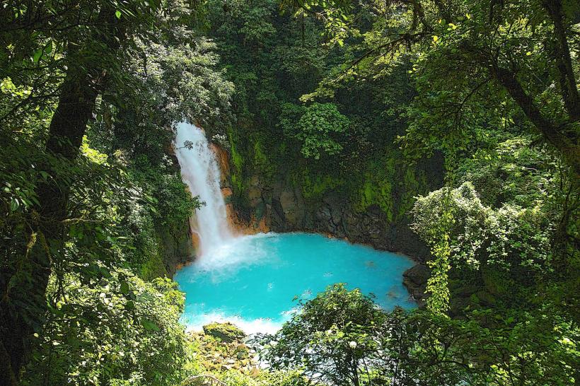
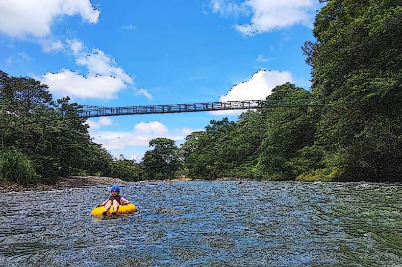
The park is characterized by dense tropical rainforest vegetation, with primary forest dominating large areas. Elevation ranges from 300 to 2,900 meters above sea level, resulting in varied microclimates and plant life. Rivers and streams, often with clear to slightly turbid water, cut through the landscape. Tree canopy height varies, with emergent trees reaching significant heights. The terrain is mountainous and rugged, with steep slopes and deep ravines.
Location & Access Logistics
The park is accessible via Route 32 (Carretera Florencio del Castillo), which bisects the park. The main entrance and administrative center are located approximately 50 kilometers northeast of San José. Parking is available at designated areas near the visitor centers and trailheads. Public transport options are limited; bus services operate along Route 32, but require careful planning for park access. The nearest major city with comprehensive transport links is San José.
Historical & Ecological Origin
Established on August 21, 1978, Braulio Carrillo National Park was created to protect a critical watershed and a significant area of primary cloud forest and rainforest. Ecologically, it represents a transition zone between the Caribbean and Pacific slopes, supporting a high level of biodiversity. The park is part of the larger Cordillera Volcánica Central, a geologically active region.
Key Highlights & Activities
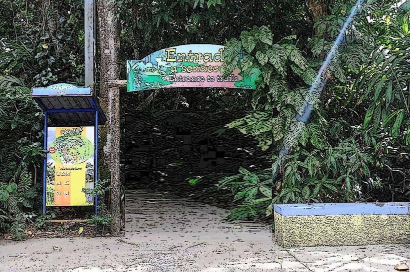
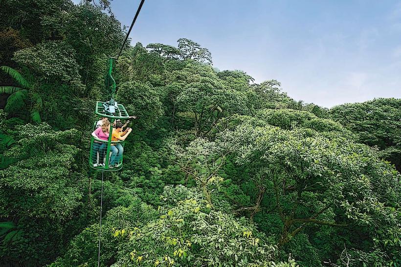
Hiking is a primary activity, with marked trails such as the Las Palmas trail (1.2 km loop) and the El Tapir trail (4.5 km one-way). Observation decks provide views of the forest canopy. Birdwatching is a significant draw, with opportunities to observe numerous avian species. The aerial tramway (Teleférico) offers a unique perspective of the forest canopy, though access and operation should be verified prior to visit. Photography is possible along trails and at viewpoints.
Infrastructure & Amenities
Restrooms are available at the main visitor center and some trailheads. Shaded areas are present along some trails and at picnic spots. Cell phone signal is intermittent and generally unreliable within the park's interior. Food vendors are not typically found within the park boundaries; visitors should bring their own provisions. Limited lodging options exist in nearby towns outside the park.
Best Time to Visit
The best time for visiting is during the dry season, from December to April, for more predictable weather. However, rain is common year-round. Mornings generally offer clearer light for photography before cloud cover builds. High humidity is consistent throughout the year. No specific tide requirements apply.
Facts & Legends
The park is named after Braulio Carrillo Colina, a former President of Costa Rica. A notable feature is the presence of the "Cerro Danta" biological research station, which contributes to scientific understanding of the region's ecosystems. The park's dense forest has historically been a barrier to extensive human settlement, preserving its natural state.
Nearby Landmarks
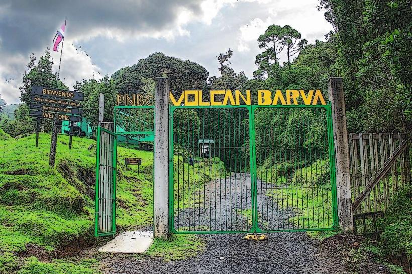
- 0.8km West: Sector Quebrada González (Visitor Center and trails)
- 15km Southwest: La Paz Waterfall Gardens (Private attraction)
- 25km Southwest: Poás Volcano National Park (Volcanic crater)
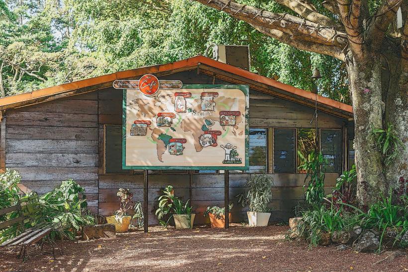
- 30km Southwest: Doka Estate Coffee Tour (Agricultural tour)
- 35km Southwest: Irazú Volcano National Park (Volcanic crater)