Landmark: Sarapiquí River
City: Heredia
Country: Costa Rica
Continent: North America
Sarapiquí River, Heredia, Costa Rica, North America
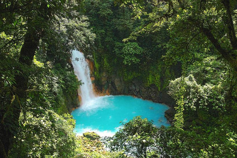
The Sarapiquí River is a significant waterway located in the Heredia province of Costa Rica. It flows through a region characterized by dense rainforest and agricultural lands.
Visual Characteristics
The river's water color varies from muddy brown to a darker, more opaque hue depending on recent rainfall and sediment load. Its width fluctuates, generally ranging from 30 to 100 meters. The banks are predominantly lined with dense tropical vegetation, including large trees and thick undergrowth. Rock formations are infrequent along the main channel, with the riverbed primarily composed of sand and gravel.
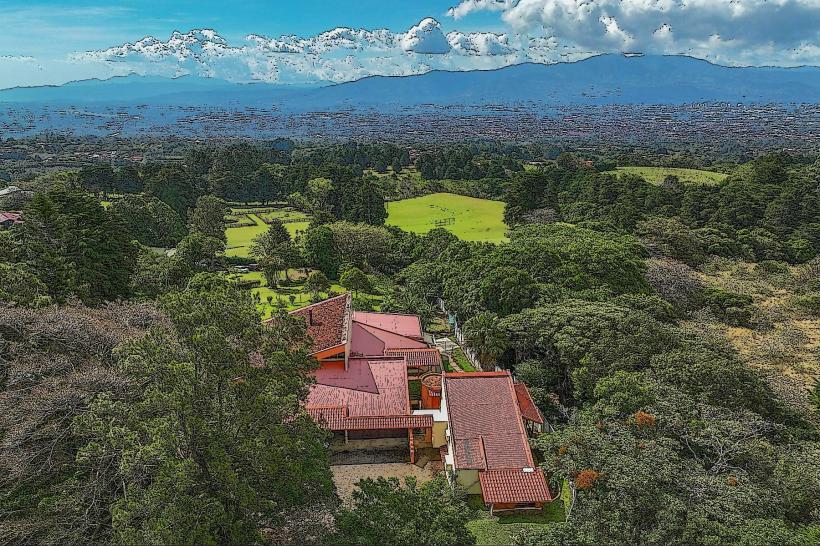
Location & Access Logistics
The Sarapiquí River is accessible via Route 4 (Carretera a Sarapiquí) from Heredia city. The drive from Heredia's city center to common access points near La Virgen or Puerto Viejo de Sarapiquí is approximately 60-75 kilometers, taking about 1.5 to 2 hours. Parking is available at various lodges and tour operator facilities along the river, often requiring a fee. Public transport options include intercity buses from Heredia to Puerto Viejo de Sarapiquí, with local taxis or pre-arranged transport needed for specific river access points.
Historical & Ecological Origin
The Sarapiquí River is part of the larger San Juan River basin, a geologically ancient system. Its formation is tied to the uplift of the Central Volcanic Range. Ecologically, it is classified as a lowland tropical river system, supporting a high level of biodiversity due to its position within the Neotropical realm. Historically, the river served as a transportation route for indigenous populations and later for colonial trade.
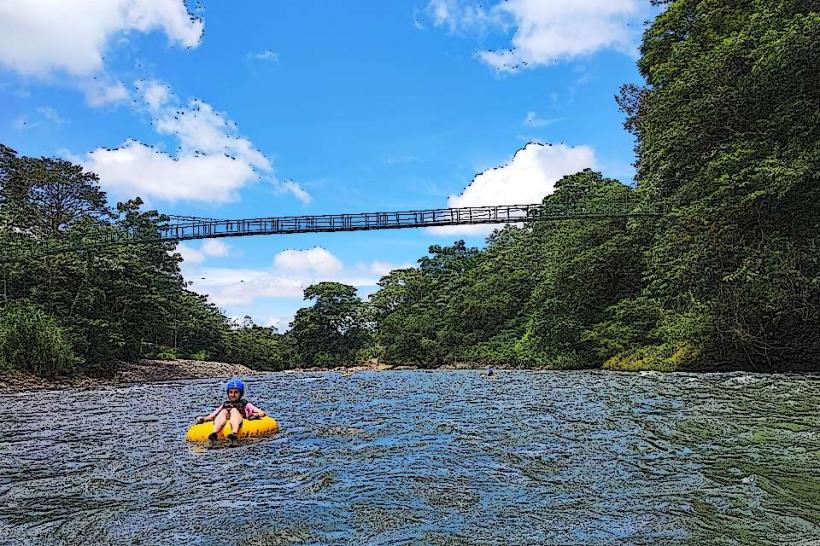
Key Highlights & Activities
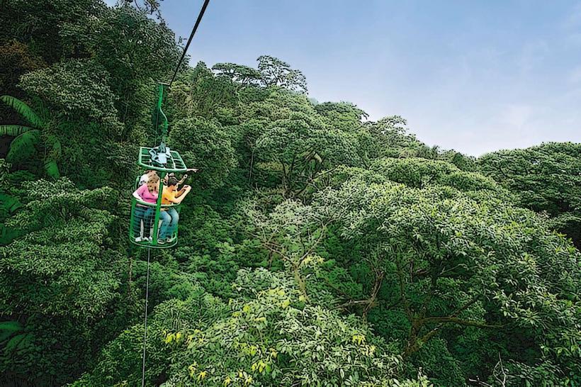
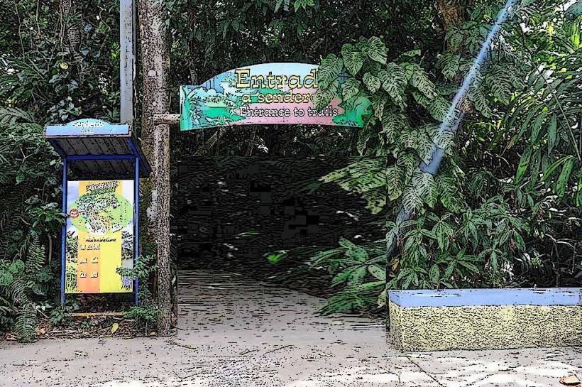
White-water rafting is available on sections of the river, particularly the Upper Sarapiquí. Boat tours offer wildlife viewing opportunities, focusing on birds, monkeys, and reptiles. Kayaking and stand-up paddleboarding are possible on calmer stretches. Hiking trails are present in adjacent protected areas like La Selva Biological Station.
Infrastructure & Amenities
Restrooms are available at established tour operator bases and lodges. Shade is abundant along the riverbanks due to the dense forest canopy. Cell phone signal (4G/5G) is generally inconsistent and can be weak in more remote sections. Food vendors are typically found in the towns of Puerto Viejo de Sarapiquí and La Virgen, with some lodges offering on-site dining.
Best Time to Visit
The dry season, from December to April, generally offers more stable water levels for rafting and clearer conditions for wildlife observation. The best time of day for photography is typically early morning or late afternoon when the light is softer. High tide is not a relevant factor for this river system.
Facts & Legends
The Sarapiquí region is known for its high concentration of frog species, including the iconic red-eyed tree frog. A specific tip for visitors is to be aware of the river's rapid changes in water level and flow, especially during the rainy season, and to always use experienced guides for any water-based activities.
Nearby Landmarks
- La Selva Biological Station (1.5km West)
- Poás Volcano National Park (45km Southwest)
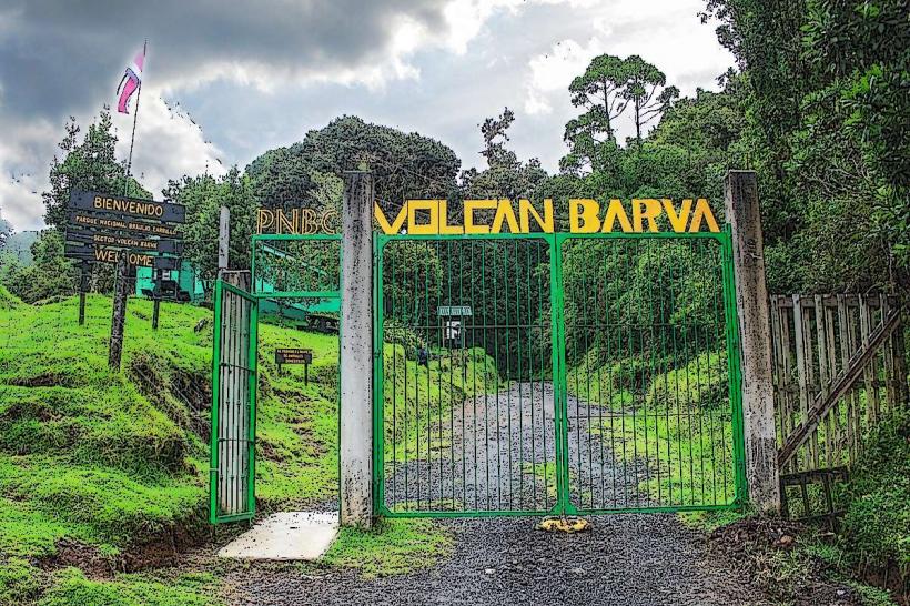
- Braulio Carrillo National Park (30km Southeast)
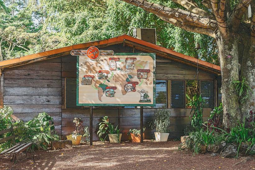
- Doka Estate Coffee Tour (50km Southwest)
- Arenal Volcano National Park (60km Northwest)