Information
Landmark: Cabo San FranciscoCity: Esmeraldas
Country: Ecuador
Continent: South America
Cabo San Francisco, Esmeraldas, Ecuador, South America
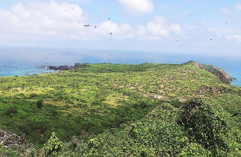
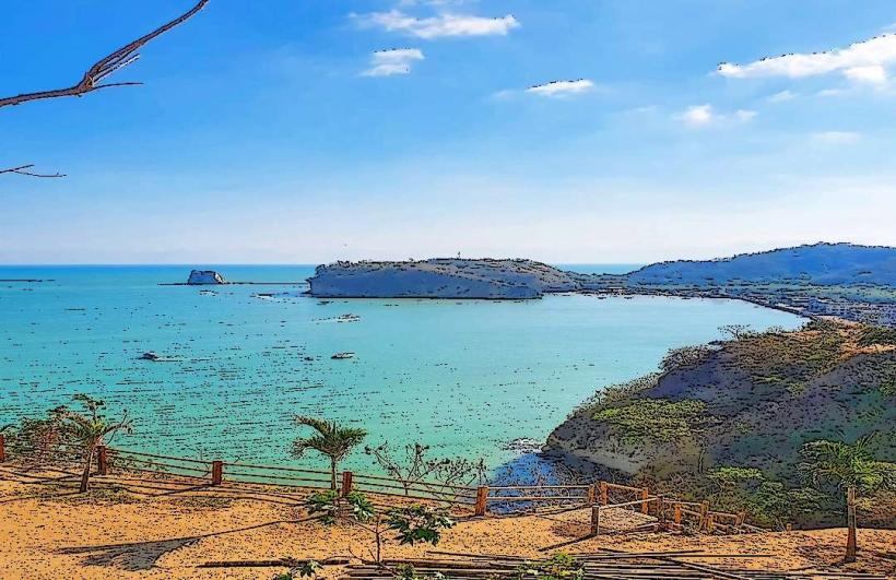
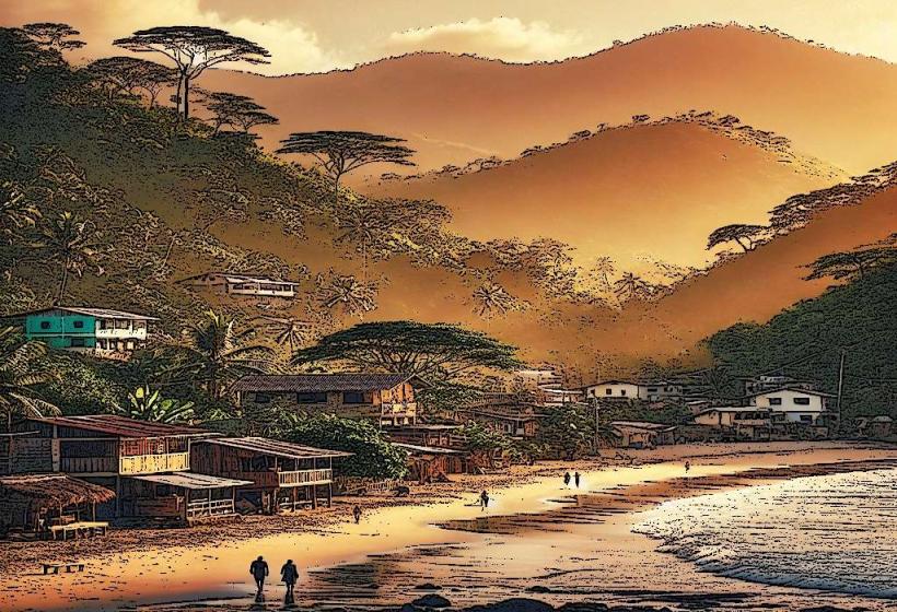
Cabo San Francisco is a coastal promontory located in the Esmeraldas province of Ecuador.
This geographical feature extends into the Pacific Ocean, forming a significant point along the coastline.
Visual Characteristics
The cape is characterized by its rocky outcrops and moderate elevation. Vegetation consists of coastal scrub and scattered trees adapted to saline conditions. The shoreline is a mix of sand and exposed rock, particularly at lower tide levels. Ocean water color varies from deep blue to greenish depending on depth and sediment.
Location & Access Logistics
Cabo San Francisco is situated approximately 15 kilometers north of the city of Esmeraldas. Access is primarily via the E15 coastal highway (Ruta del Sol). Turn off the E15 onto the unpaved road leading towards the cape, approximately 2 kilometers past the town of Las Palmas. Parking is available on a gravel area near the end of the accessible road. Public transport to the vicinity is limited; local buses operate along the E15, requiring a walk of approximately 1.5 kilometers from the nearest stop.
Historical & Ecological Origin
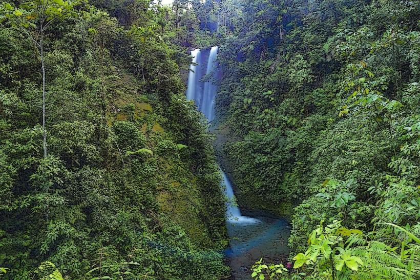
The cape is a result of geological uplift and erosion processes acting on coastal sedimentary rock formations. Its ecological classification is a coastal dry forest transitioning to marine influence. Historically, it served as a navigational point for local fishing communities and potentially for early explorers.
Key Highlights & Activities
Observation of marine birdlife is possible from the higher points of the cape. Coastal exploration along the base of the cliffs is feasible during low tide. Photography of the coastline and ocean views is a primary activity.
Infrastructure & Amenities
No formal infrastructure is present at Cabo San Francisco. Restrooms, shade structures, and food vendors are not available at the site. Cell phone signal (4G/5G) is intermittent and generally weak.
Best Time to Visit
For photography, the late afternoon (approximately 16:00 to 18:00) offers favorable lighting conditions due to the angle of the sun. The dry season, from June to December, generally provides clearer skies and calmer seas. Tidal conditions are not critical for general viewing but are relevant for accessing certain rock formations at the base.
Facts & Legends
Local folklore suggests that the cape was a favored lookout point for pirates in centuries past, though no definitive historical evidence supports this claim. A specific tip for visitors is to wear sturdy footwear due to the uneven terrain and sharp rocks.
Nearby Landmarks
- Playa Las Palmas (1.5km South)
- Isla Pajaros (3km West)
- Reserva Ecológica Mache-Chindul (10km Northeast)
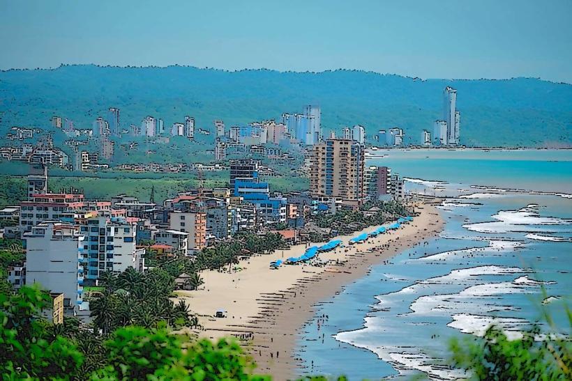
- City of Esmeraldas (15km South)