Information
Landmark: Reserva Ecológica Mache ChindulCity: Esmeraldas
Country: Ecuador
Continent: South America
Reserva Ecológica Mache Chindul, Esmeraldas, Ecuador, South America
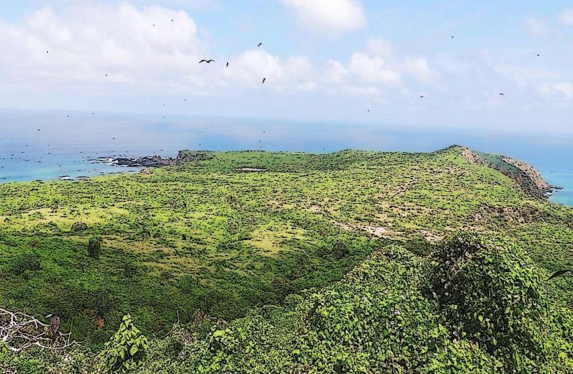
Reserva Ecológica Mache Chindul is an ecological reserve located in the Esmeraldas province of Ecuador.
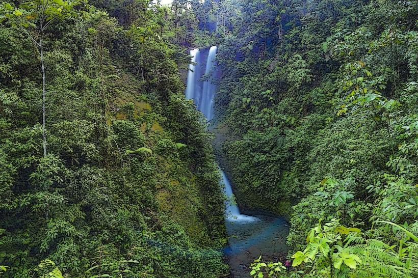
This protected area encompasses a significant portion of the Mache-Chindul mountain range, characterized by its humid tropical forest ecosystem.
Visual Characteristics
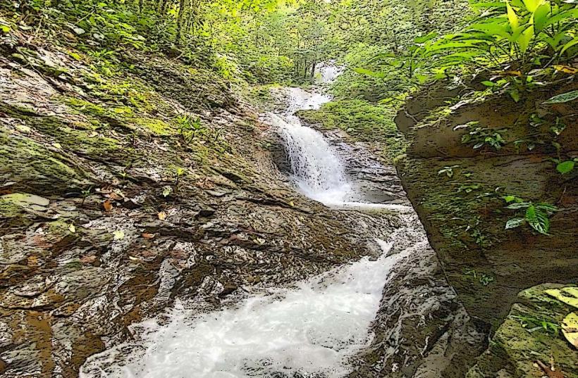
The reserve features dense, multi-layered tropical rainforest. Dominant vegetation includes tall emergent trees, a thick understory of shrubs and ferns, and epiphytes such as orchids and bromeliads. Tree canopies create a shaded environment with limited direct sunlight reaching the forest floor. Rivers and streams within the reserve exhibit clear to slightly turbid water, depending on recent rainfall. Rock formations are primarily sedimentary and metamorphic, often covered in moss and vegetation.
Location & Access Logistics
The reserve is situated approximately 100 kilometers west of the city of Esmeraldas. Access is primarily via the E15 highway (Ruta del Sol) heading south from Esmeraldas. Turn off onto provincial roads towards the towns of San Francisco de Boa and later towards the reserve's main entrance. The nearest major town with services is San Francisco de Boa. Parking is available at designated points near the visitor center and trailheads. Public transport options are limited; local buses operate between Esmeraldas and San Francisco de Boa, from where onward travel to the reserve may require private transport or taxis.
Historical & Ecological Origin
Reserva Ecológica Mache Chindul was established as a protected area to conserve the unique biodiversity of the northwestern Ecuadorian coastal forests. Ecologically, it represents a transition zone between the Chocó biogeographic region and the drier coastal plains. The area's geological formation is part of the Andean foothills, with origins dating back millions of years. The primary purpose of its designation is the preservation of endemic flora and fauna, including several threatened species.
Key Highlights & Activities
Hiking is possible on marked trails, such as the Sendero de las Cascadas (Waterfall Trail) and the Sendero de los Monos (Monkey Trail). Birdwatching is a primary activity, with opportunities to observe various avian species. Wildlife observation, including primates and amphibians, is also a focus. Guided nature walks are available through the visitor center.
Infrastructure & Amenities
Basic infrastructure includes a visitor center with information displays and a small administrative office. Restrooms are available at the visitor center. Limited shade is provided by the forest canopy along trails. Cell phone signal (4G/5G) is generally absent within the core areas of the reserve. Food vendors are not present within the reserve; visitors should bring their own provisions. Basic accommodation options may be found in nearby towns like San Francisco de Boa.
Best Time to Visit
The best time for visiting is during the dry season, which typically runs from June to December. This period offers less rainfall, making trails more accessible and improving visibility for wildlife observation. The wet season (January to May) sees higher precipitation, which can lead to muddy trails and increased insect activity. For photography, early morning and late afternoon provide softer light conditions under the canopy.
Facts & Legends
The Mache-Chindul region is known for its high levels of endemism, particularly among amphibians and birds. Local legends speak of ancient spirits that inhabit the deepest parts of the forest, protecting its natural balance. A specific tip for visitors is to wear long sleeves and pants, even in warmer weather, to protect against insect bites and thorny vegetation.
Nearby Landmarks
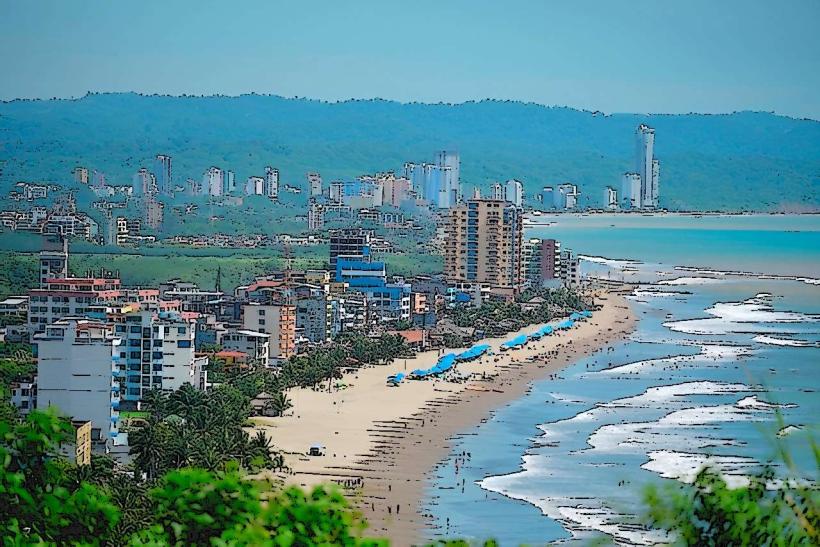
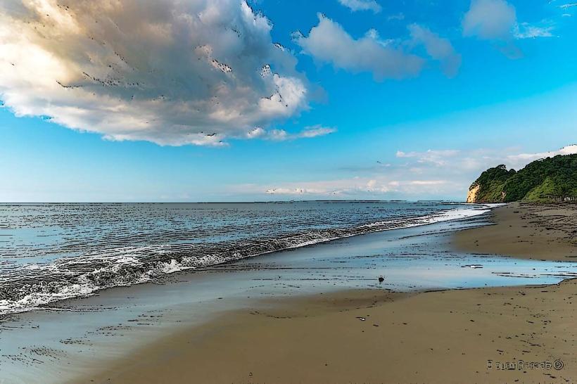
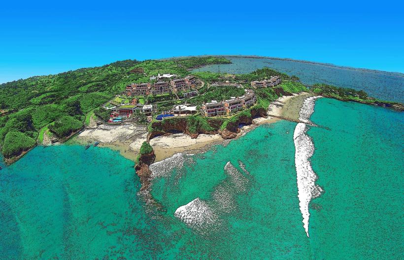
- Playa Las Peñas (15km Southwest)
- Reserva de Producción de Fauna Manglares El Salado (25km North)
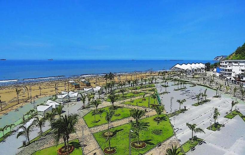
- Ciudad de Esmeraldas (100km North)
- Isla de la Tolita (30km Northwest)