Landmark: Cahal Pech Mayan Ruins
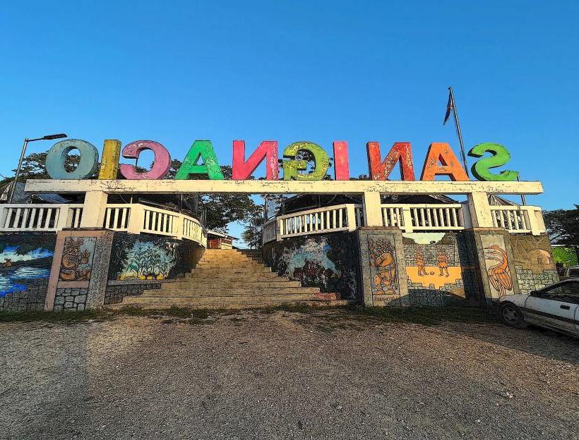
City: San Ignacio
Country: Belize
Continent: North America
Cahal Pech Mayan Ruins, San Ignacio, Belize, North America
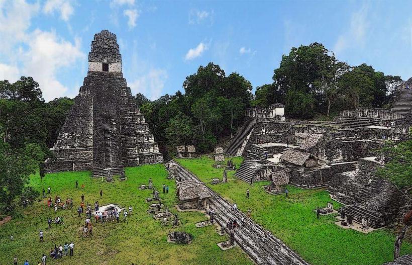
Cahal Pech is a pre-Columbian Mayan archaeological site located on a low hill overlooking the Macal River, approximately 1.5 kilometers west of the modern-day town of San Ignacio in the Cayo District of Belize.
Visual Characteristics
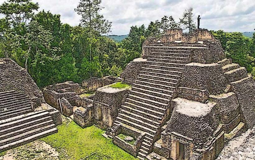
The site comprises a series of nine plazas and over 30 structures, including temples, palaces, and residential buildings. The primary construction material is limestone, with visible evidence of plaster finishes on many of the larger buildings. Structures vary in height, with the tallest temple reaching approximately 25 meters. The architectural style is characteristic of the Late Classic Maya period.
Location & Access Logistics
Access to Cahal Pech is via Bullet Tree Road from San Ignacio. The site is approximately 1.5 kilometers from the town center. Parking is available on-site at no additional charge. Public transportation options are limited; local taxis are the most direct method from San Ignacio. No specific bus lines service the immediate vicinity of the ruins.
Historical & Ecological Origin
Cahal Pech was occupied from at least 1000 BCE to 800 CE, with its peak population during the Late Classic period (600-900 CE). It served as the royal seat for the Maya lords of the Belize Valley. The site is situated on a limestone bedrock formation, typical of the Maya Lowlands region.
Key Highlights & Activities
Visitors can explore the central plazas, climb select structures for elevated views of the surrounding landscape, and examine the architectural details of the various buildings. Self-guided exploration is the primary activity. No organized tours are currently offered on-site.
Infrastructure & Amenities
Restrooms are available at the visitor center. Limited shade is provided by trees within the site. Cell phone signal (4G/5G) is generally available. No food vendors operate directly at the ruins; options are available in San Ignacio.
Best Time to Visit
The best time of day for photography is generally between 9:00 AM and 11:00 AM, or 3:00 PM and 5:00 PM, to avoid direct overhead sun. The dry season, from November to May, offers the most favorable weather conditions. High tide or low tide is not a relevant factor for visiting this inland site.
Facts & Legends
Cahal Pech translates to "Place of the Green Rock" in the Mayan language. Archaeological evidence suggests that the site was abandoned relatively abruptly, with no clear indication of warfare or natural disaster being the sole cause.
Nearby Landmarks
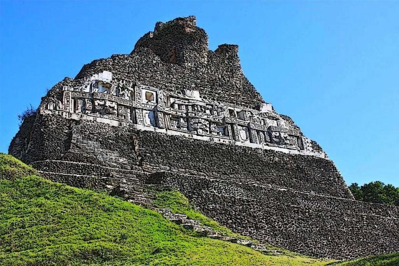
- Xunantunich Mayan Ruins (6.5km West)
- San Ignacio Town Center (1.5km East)
- El Castillo (San Ignacio) (1.8km West)
- Green Hills Butterfly Ranch (3.2km Southwest)
- Belize Botanic Gardens (4.1km West)