Landmark: Xunantunich Maya Ruins
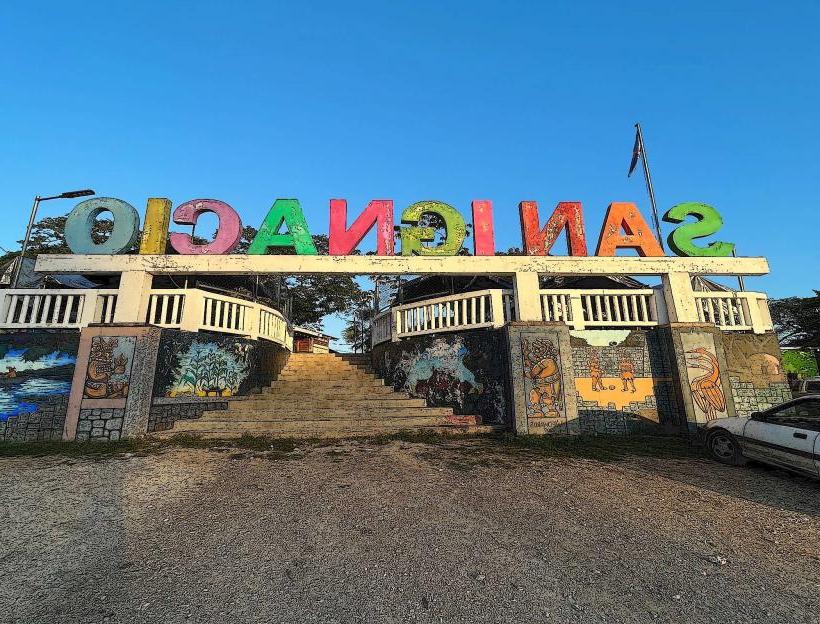
City: San Ignacio
Country: Belize
Continent: North America
Xunantunich Maya Ruins, San Ignacio, Belize, North America
Xunantunich is a pre-Columbian Maya archaeological site located in western Belize, near the border with Guatemala.
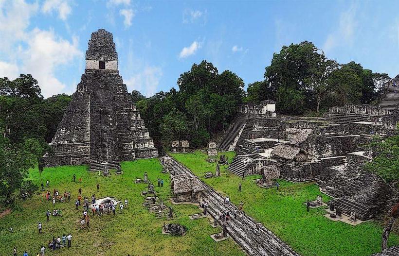
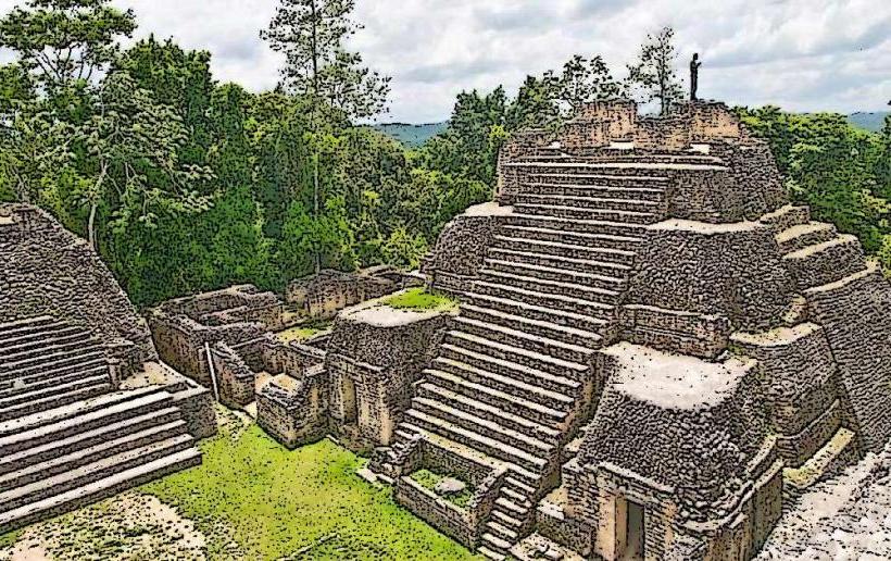
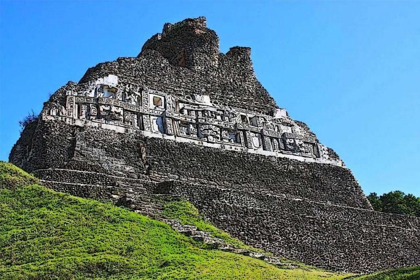
The site features several large stone structures, including the El Castillo pyramid, built from stucco-covered limestone.
Visual Characteristics
The primary structures at Xunantunich are constructed from limestone blocks, often covered with stucco. The site's most prominent structure, El Castillo (Structure A-1), stands approximately 40 meters (130 feet) high. Other structures include the Plaza Group, the Observatory, and the Ball Court. The site is situated on a limestone ridge overlooking the Mopan River valley. Vegetation is dense tropical rainforest surrounding the cleared plazas and structures.
Location & Access Logistics
Xunantunich is located approximately 13 kilometers (8 miles) west of San Ignacio, Belize. Access is via the George Price Highway (A1). A free, hand-cranked ferry crosses the Mopan River to reach the site entrance. Parking is available at the ferry landing on the eastern bank and at the site itself. Public transportation to the ferry landing is available via local buses from San Ignacio, typically Route 1 or Route 2, which run frequently. From the ferry, a short walk or taxi ride leads to the ruins.
Historical & Ecological Origin
Xunantunich was a major Maya city during the Classic Period (c. 250–900 AD), with its peak occupation occurring between 600 and 900 AD. It served as a ceremonial and administrative center. The site's name translates to "Stone Woman" in Yucatec Maya, referencing a legend of a ghostly apparition. The structures are built on a natural limestone elevation, a common practice for Maya cities to enhance defensibility and visibility.
Key Highlights & Activities
Climbing to the top of El Castillo (Structure A-1) provides panoramic views of the surrounding landscape and the Petén Basin in Guatemala. Exploration of the various plazas, including the Group B and Group A plazas, is possible. Visitors can observe the stucco friezes on some structures, which depict Maya deities and astronomical events. Guided tours are available at the site entrance, offering detailed historical and architectural information.
Infrastructure & Amenities
Restrooms are available at the visitor center near the entrance. Shade is limited to the base of larger structures and designated areas. Cell phone signal (4G/5G) is generally unreliable within the ruins. Small food vendors and souvenir stalls are typically located near the visitor center and ferry landing.
Best Time to Visit
The best time of day for photography is generally in the morning, between 9:00 AM and 11:00 AM, when the sun illuminates the eastern-facing facades of El Castillo. The dry season, from November to May, offers the most favorable weather conditions with less rainfall. The site is accessible year-round.
Facts & Legends
A notable feature of Xunantunich is the "Stela 1," a large carved stone slab depicting the ruler K'inich B'aaknal Chaak in ceremonial attire. The legend of the "Stone Woman" (Xunantunich) tells of a woman who lived in the ruins and was seen by workers during excavation, disappearing into a wall. This apparition is said to be the spirit of a priestess.
Nearby Landmarks
- Cahal Pech Maya Ruins: 3.5km Southeast
- San Ignacio Town Center: 13km East
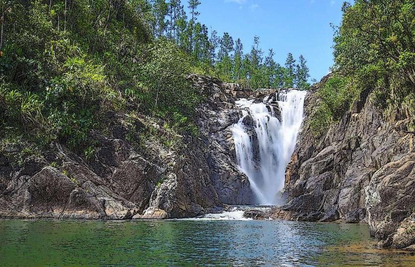
- Green Hills Butterfly Ranch: 10km East
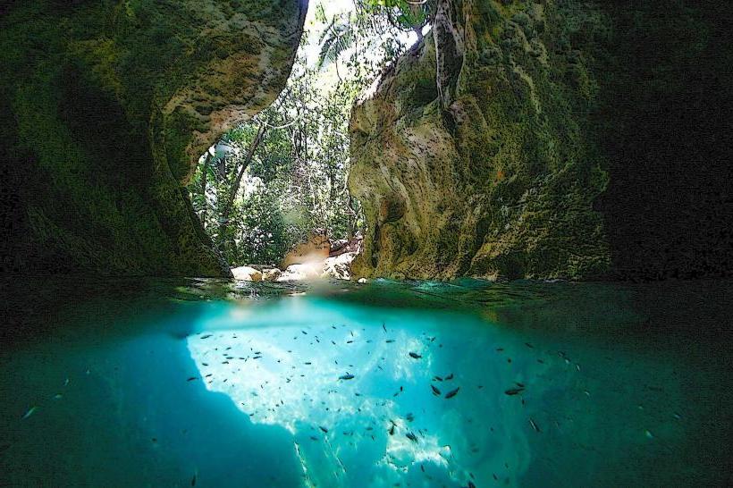
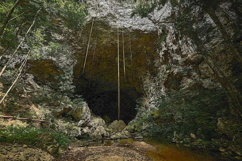
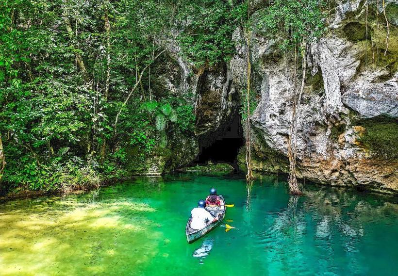
- Barton Creek Cave: 20km Southeast
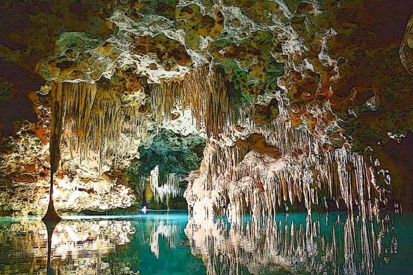
- Actun Tunichil Muknal (ATM Cave): 35km Southeast