Landmark: Caracol Maya Site
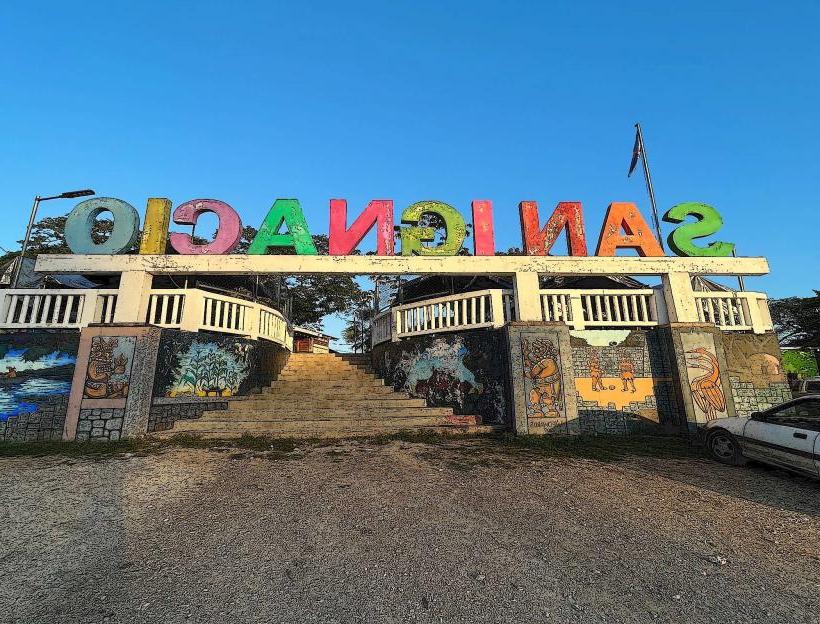
City: San Ignacio
Country: Belize
Continent: North America
Caracol Maya Site, San Ignacio, Belize, North America
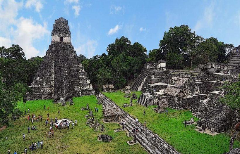
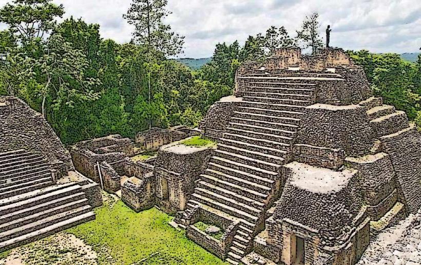
Caracol is a significant Maya archaeological site located in the Cayo District of Belize. It is one of the largest Maya cities discovered in the region.
Visual Characteristics
The site features numerous limestone structures, including pyramids, plazas, and residential complexes. The largest pyramid, Caana (Sky Palace), reaches a height of approximately 43 meters (141 feet) above the plaza level. Structures are constructed from cut stone blocks, with evidence of stucco ornamentation and painted murals in some areas. Vegetation is dense, with jungle growth surrounding and partially reclaiming many of the excavated structures.
Location & Access Logistics
Caracol is situated approximately 40 kilometers (25 miles) south of San Ignacio. Access is via a 35-kilometer unpaved road, which is rough and requires a 4x4 vehicle, especially during the wet season. The drive from San Ignacio typically takes 1.5 to 2 hours. There is a designated parking area at the site entrance. No public transport directly serves Caracol; private tours or rental vehicles are necessary.
Historical & Ecological Origin
Caracol rose to prominence as a major Maya city during the Classic Period (c. 250–900 AD). It was a powerful rival to Tikal and Calakmul. The site was extensively excavated starting in the 1950s. Ecologically, Caracol is situated within the Chiquibul Forest Reserve, a large protected area characterized by tropical rainforest and diverse wildlife.
Key Highlights & Activities
Visitors can climb to the top of Caana for panoramic views of the surrounding jungle. Exploration of the main plazas, including Plaza A, Plaza B, and Plaza C, is possible. The site museum provides context on Maya history and the excavation process. Guided tours are available and recommended for understanding the site's significance.
Infrastructure & Amenities
Restrooms are available at the visitor center near the entrance. Limited shade is provided by the jungle canopy over some excavated areas. Cell phone signal is generally absent within the site. Food vendors are not present at Caracol; visitors should bring their own provisions.
Best Time to Visit
The dry season, from November to May, offers the most favorable conditions for travel, as the unpaved road is less prone to becoming impassable. The best time of day for photography is generally in the morning or late afternoon when the sun angle creates more defined shadows on the structures. There are no tide-dependent activities at this inland site.
Facts & Legends
Caracol was once believed to be a small settlement, but archaeological evidence revealed it was a major urban center with a population estimated to be over 100,000 people at its peak. A notable historical event is Caracol's victory over Tikal in 695 AD, a conflict that significantly altered the political landscape of the Maya world.
Nearby Landmarks
- Mountain Pine Ridge Forest Reserve (15km Southwest)
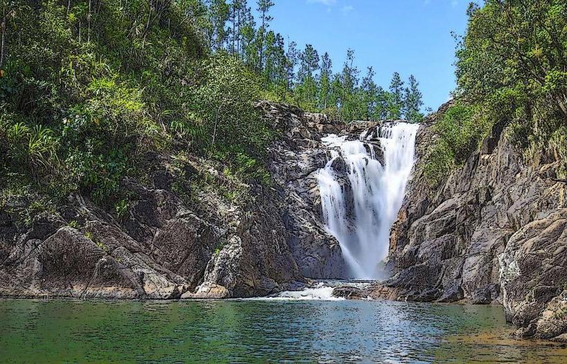
- Big Rock Falls (20km Southwest)
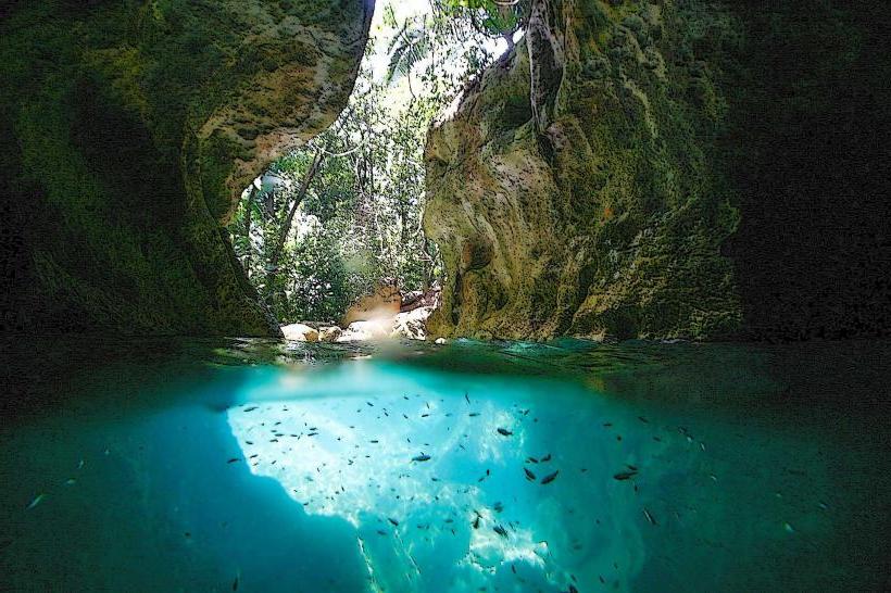
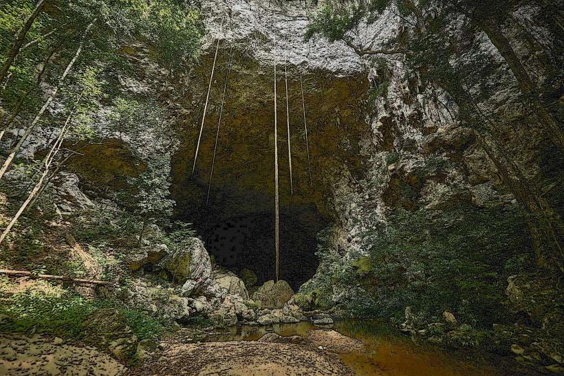
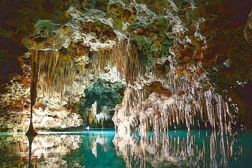
- Rio Frio Cave (25km Southwest)
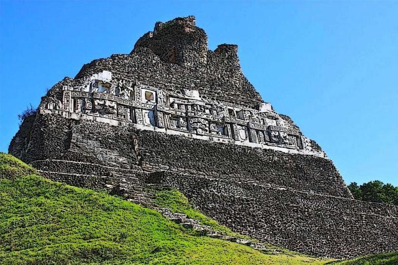
- Xunantunich Maya Site (45km Northeast)
- San Ignacio Town (40km Northeast)