Information
Landmark: Canal Belt (Grachtengordel)City: Amsterdam
Country: Netherlands
Continent: Europe
Canal Belt (Grachtengordel), Amsterdam, Netherlands, Europe
The Canal Belt (Grachtengordel) is a 17th-century district in Amsterdam, comprising a network of concentric canals. It was added to the UNESCO World Heritage List in 2010 for its innovative large-scale urban planning and unique architectural heritage.
Visual Characteristics
The area is defined by four main semi-circular canals-Singel, Herengracht, Keizersgracht, and Prinsengracht-connected by smaller radial waterways. The landscape features over 1,500 monumental buildings, characterized by narrow, tall brick houses with ornate gables (neck, bell, and step gables). Rows of elm trees line the quays, and the waterways are traversed by hundreds of historic arched stone bridges.
Location & Access Logistics
The district encircles the medieval city center. It is highly accessible from Amsterdam Centraal station, which sits at the northern edge of the belt.
Public Transport: Tram lines 2, 12, 13, and 17 cross the belt longitudinally, while the North-South Metro (Line 52) provides rapid access to the Vijzelgracht and Rokin stations.
Navigation: The area is best explored on foot or by bicycle. Motorized traffic is restricted on many narrow quays, and parking is extremely limited and expensive; the Q-Park Europarking (Marnixstraat) is a primary nearby facility.
Historical & Ecological Origin
Developed during the Dutch Golden Age (17th century), the Canal Belt was a massive civil engineering project designed to expand the city's residential and commercial capacity. The design utilized a reclaimed marshland system, with thousands of wooden piles driven into the clay to support the buildings. The canals served as a comprehensive drainage system and a primary transport network for goods.
Key Highlights & Activities
The Nine Streets (De 9 Straatjes): A micro-neighborhood of artisanal boutiques, vintage shops, and cafes spanning the main canals.
Canal Cruises: Boat tours depart from various points along the Prinsengracht and Singel, offering perspectives on the canal houses.
Museums: Several canal houses are open to the public, including the Museum of the Canals (Grachtenmuseum), Museum Willet-Holthuysen, and Museum Van Loon.
Golden Bend (Gouden Bocht): The section of the Herengracht between Leidsestraat and Vijzelstraat, known for the most opulent double-wide mansions.
Infrastructure & Amenities
The district is integrated into the city’s high-density infrastructure with universal 5G coverage. Public restrooms are available in major museums and some department stores (e.g., De Bijenkorf at the edge of the belt). The quays are paved with cobblestones, which can be uneven for mobility aids, though most main intersections have dropped curbs.
Best Time to Visit
The belt is accessible 24 hours a day.
Photography: The "blue hour" after sunset is optimal, as the bridges and canal house facades are illuminated by thousands of lights.
Seasonal: Late April (King’s Day) sees the canals filled with boats, while winter months offer "Amsterdam Light Festival" installations along the water.
Density: Early morning (before 09:00) provides the lowest tourist density for walking.
Facts & Legends
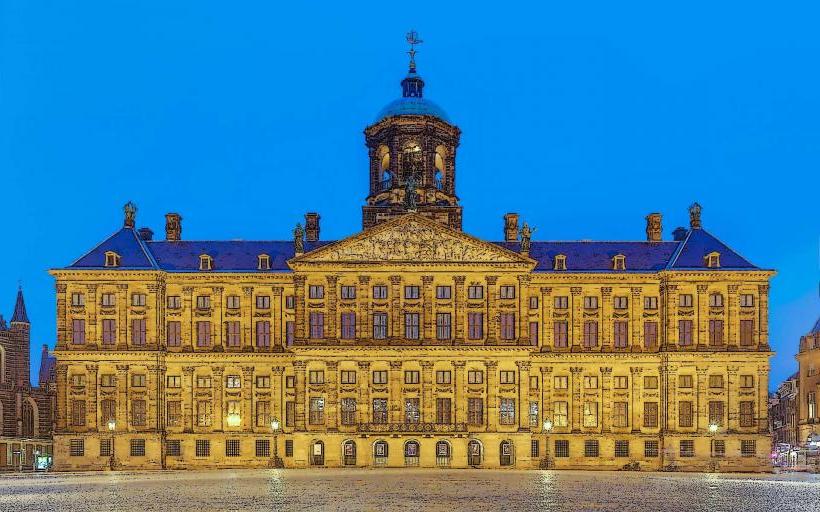
Piles: Almost every house in the belt stands on a foundation of 10 to 50 wooden piles; the Royal Palace on Dam Square alone sits on 13,659.
The "Seven Bridges" View: At the intersection of Reguliersgracht and Herengracht, one can see seven illuminated stone arches in a straight line.
Tilt: Many houses lean forward ("on the hoop") by design to facilitate hoisting goods to the upper floors via attic hooks without damaging the windows.
Nearby Landmarks
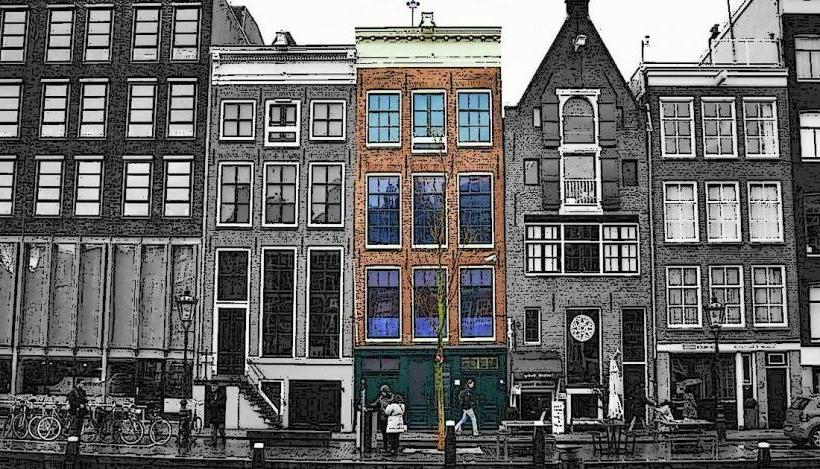
Anne Frank House – 0.0km (on Prinsengracht)
Westerkerk – 0.1km
Bloemenmarkt (Flower Market) – 0.1km (on Singel)
Leidseplein – 0.3km
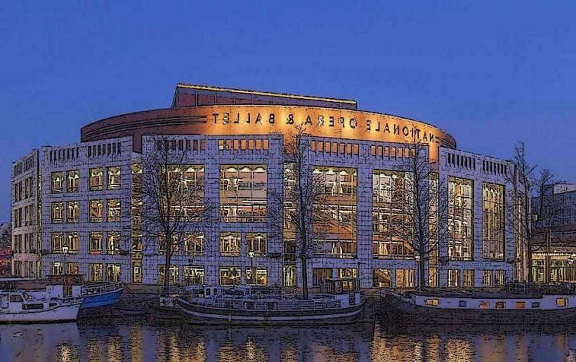
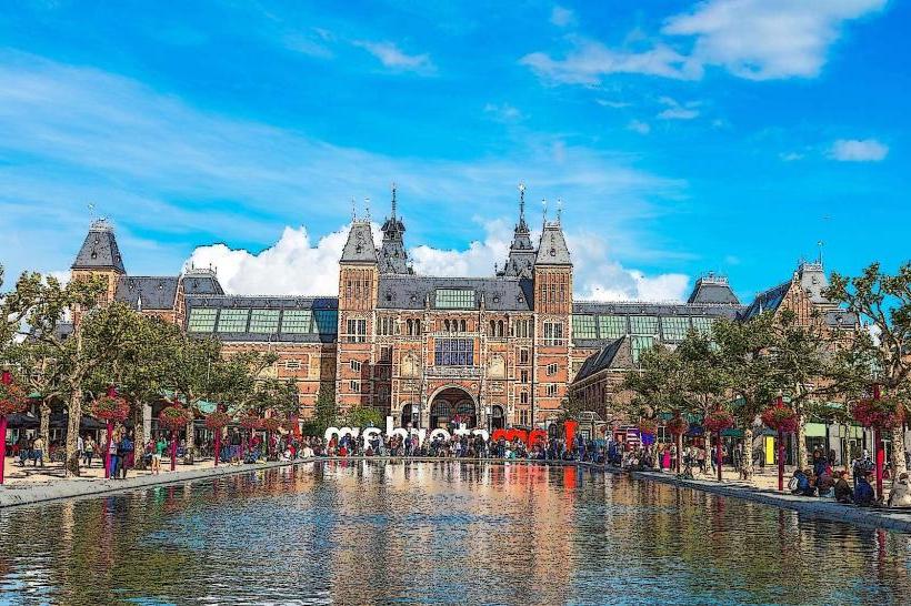
Rijksmuseum – 0.5km South