Landmark: Cascada de Peñaherrera
City: Cotacachi
Country: Ecuador
Continent: South America
Cascada de Peñaherrera, Cotacachi, Ecuador, South America
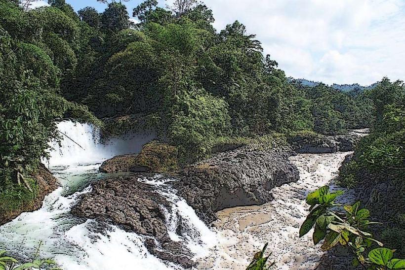
Cascada de Peñaherrera is a waterfall located in the vicinity of Cotacachi, Ecuador.
This natural feature is characterized by a single, vertical drop of water cascading over a rock face.
Visual Characteristics
The waterfall descends approximately 20 meters. The rock face is composed of dark, weathered volcanic rock. The water appears clear, with white foam at the point of impact. Surrounding vegetation is dense, consisting of tropical trees and ferns.
Location & Access Logistics
Cascada de Peñaherrera is situated 8 kilometers south of Cotacachi. Access is via the E25 highway, turning onto the unpaved road marked "Cascada de Peñaherrera" approximately 5 kilometers south of Cotacachi. The unpaved road is approximately 3 kilometers long and suitable for 4x4 vehicles during the wet season. Parking is available at a small, informal lot near the trailhead. Public transport to Cotacachi is available via interprovincial buses; from Cotacachi, a local taxi or pre-arranged transport is required.
Historical & Ecological Origin
The waterfall is a result of erosion acting upon volcanic rock formations characteristic of the Andean foothills. The surrounding ecosystem is classified as a cloud forest, supporting a high level of biodiversity.
Key Highlights & Activities
Observation of the waterfall from the designated viewing area. Hiking the short, steep trail to the base of the falls is possible. Swimming is not recommended due to strong currents and cold water temperatures.
Infrastructure & Amenities
A basic, unmaintained trail leads to the waterfall. There are no permanent restroom facilities or food vendors at the site. Cell phone signal is intermittent to non-existent. Limited natural shade is available near the base of the falls.
Best Time to Visit
The best time of day for photography is mid-morning (9:00 AM - 11:00 AM) when sunlight can penetrate the canopy. The dry season, from June to September, offers more stable access conditions. Water flow is highest during the rainy season (October to May).
Facts & Legends
Local folklore suggests the waterfall's mist has restorative properties. Geologically, the rock formations indicate past volcanic activity in the region.
Nearby Landmarks
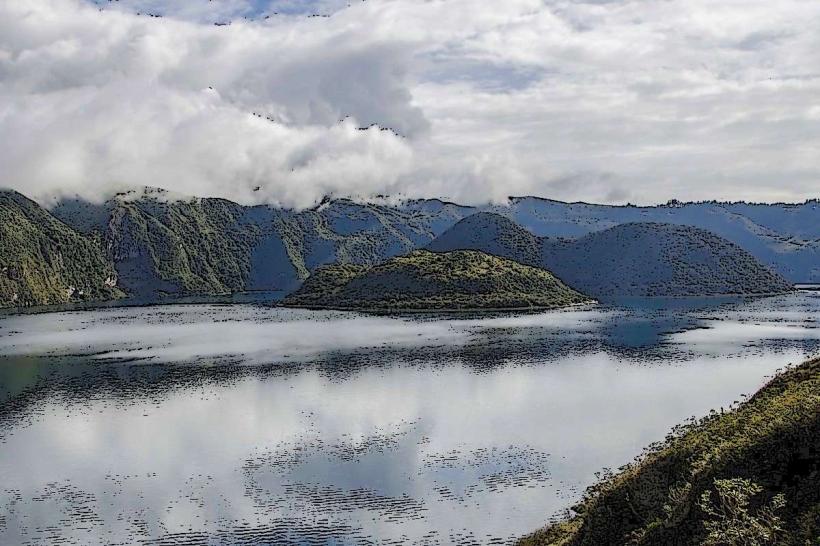
- Laguna Cuicocha (5.2km Northwest)
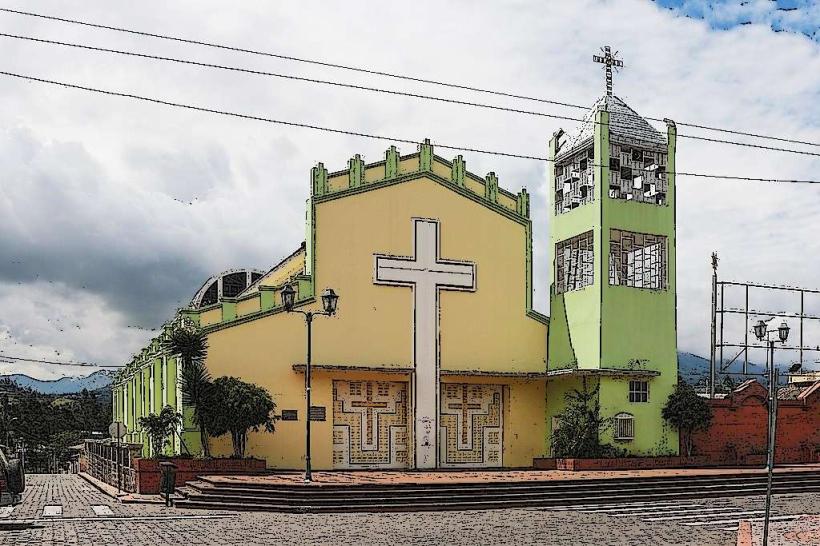
- Cotacachi Leather Market (7.8km North)
- Pachijal Ecological Reserve (4.1km Southwest)
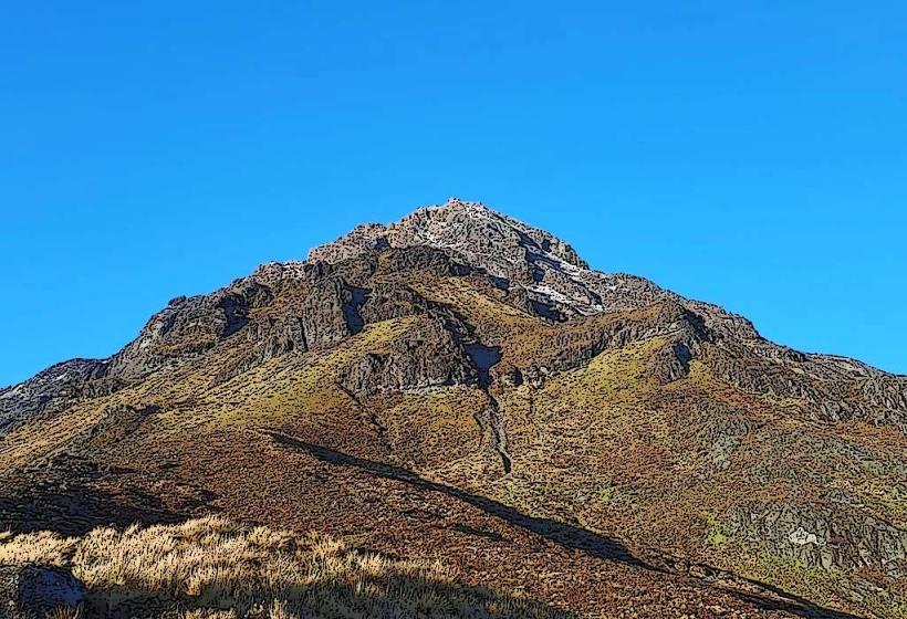
- Volcán Cotacachi (12.5km West)