Information
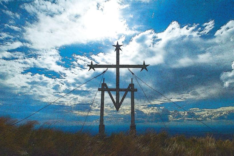
Landmark: Cerro de la CruzCity: San Luis
Country: Argentina
Continent: South America
Cerro de la Cruz, San Luis, Argentina, South America
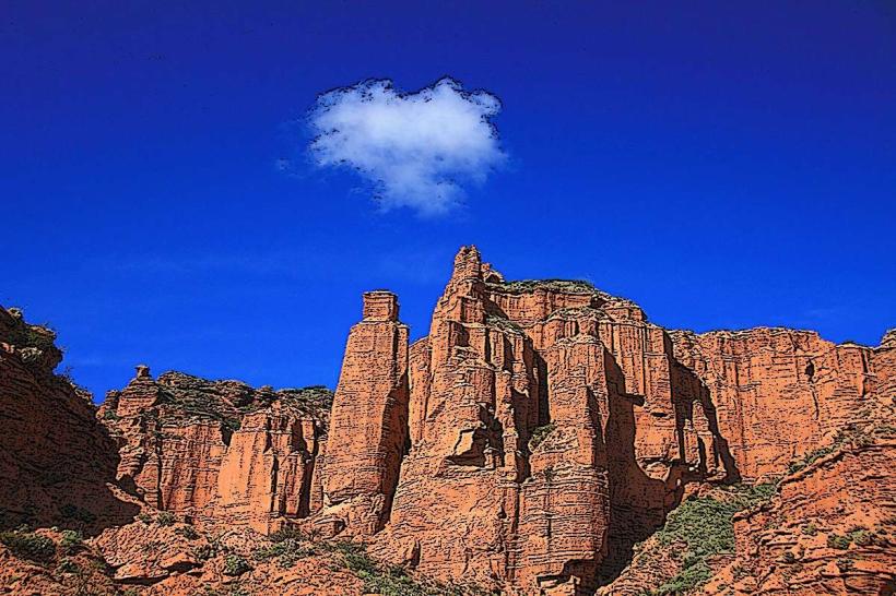
Cerro de la Cruz is a prominent hill located within the city limits of San Luis, Argentina. It serves as a significant viewpoint and recreational area for residents and visitors.
Visual Characteristics
The hill is characterized by its arid, rocky terrain with sparse vegetation, primarily consisting of low-lying shrubs and cacti. A large, white cross, approximately 10 meters in height, is situated at its summit. The cross is constructed from concrete and is illuminated at night.
Location & Access Logistics
Cerro de la Cruz is situated approximately 2 kilometers west of the San Luis city center. Access is via Avenida Justo Daract, which transitions into Calle Los Catorce. A paved road leads directly to the summit parking area. Public transport options are limited; however, local bus line 1B stops at the base of the hill on Avenida Justo Daract. The walk from the bus stop to the summit is approximately 1.5 kilometers.
Historical & Ecological Origin
The hill is a natural geological formation, part of the Sierras de San Luis mountain range. The cross was erected in 1942 by local residents as a religious monument. Its original purpose was to serve as a landmark and a place of pilgrimage.
Key Highlights & Activities
Visitors can ascend to the summit for panoramic views of San Luis city and the surrounding valleys. Hiking trails of varying difficulty are available on the slopes. Photography is a common activity, particularly during sunrise and sunset. The area is also used for paragliding on days with suitable wind conditions.
Infrastructure & Amenities
The summit area includes a small parking lot, a few shaded picnic tables, and basic restroom facilities. Cell phone signal (4G) is generally available at the summit. There are no food vendors on-site; however, several restaurants and cafes are located within a 1-kilometer radius of the hill's base.
Best Time to Visit
For optimal lighting for photography, early morning (sunrise) and late afternoon (sunset) are recommended. The most favorable months for visiting are from September to May, avoiding the more extreme temperatures of mid-summer and winter. No tide considerations apply.
Facts & Legends
A local legend suggests that the cross was placed to ward off bad luck from the city. A verified historical detail is that the original construction materials for the cross were transported to the summit by mule train.
Nearby Landmarks
- Parque Provincial Sierra de las Quijadas (45km Northwest)
- Museo de la Historia de San Luis (2.5km East)
- Catedral de San Luis (2.8km East)
- Plaza Pringles (2.6km East)