Information
Landmark: Potrero de los FunesCity: San Luis
Country: Argentina
Continent: South America
Potrero de los Funes, San Luis, Argentina, South America
Potrero de los Funes is a town and tourist complex located in the province of San Luis, Argentina.
It is situated approximately 25 kilometers northwest of the provincial capital, San Luis city.
Visual Characteristics
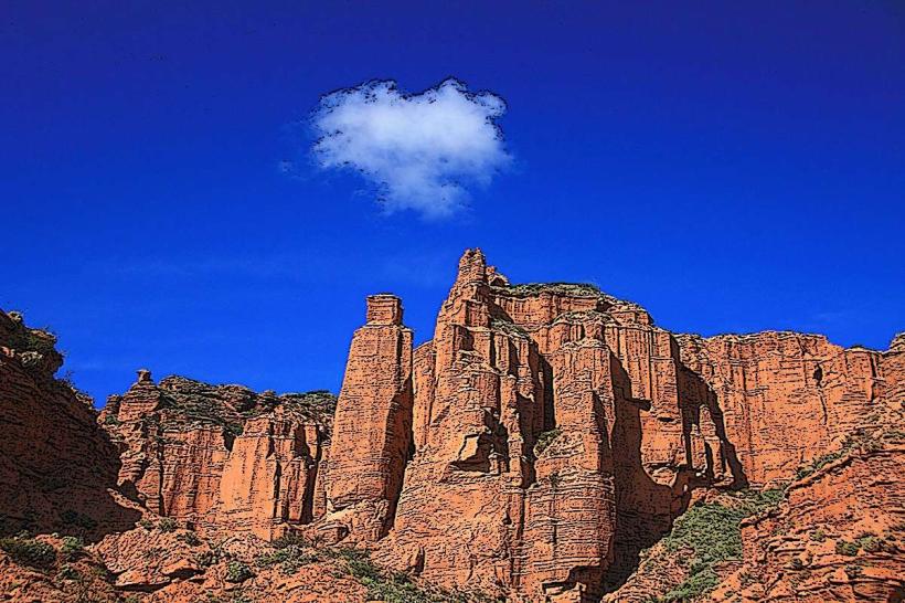
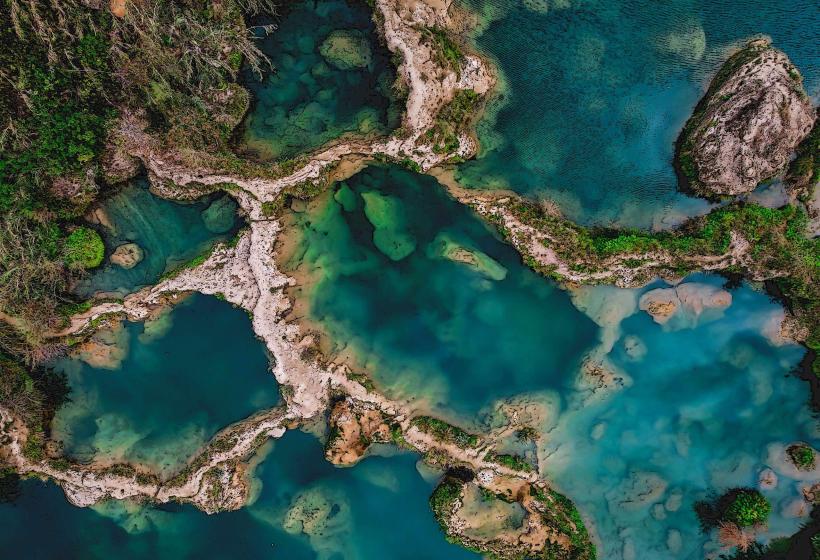
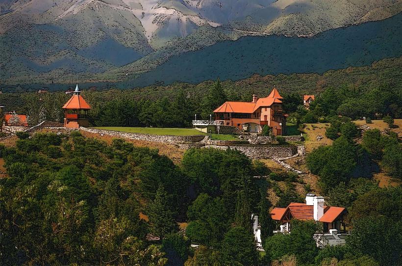
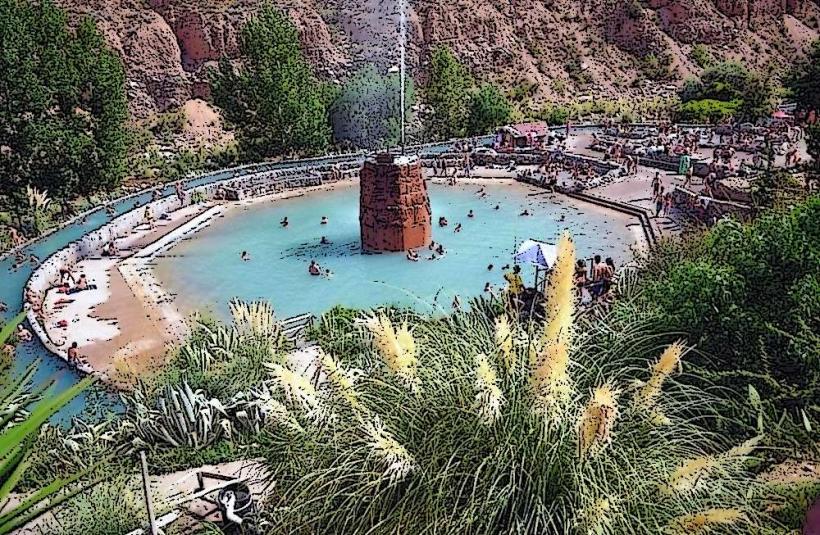
The area is characterized by a large artificial lake, approximately 1.5 kilometers long and 500 meters wide at its widest point. The lake's water color varies from deep blue to green depending on light conditions and depth. The surrounding landscape consists of rolling hills covered in low-lying scrub vegetation and scattered trees, primarily algarrobo and chañar. The terrain is rocky in places, with exposed granite formations visible on some slopes. The town itself features a mix of low-rise residential buildings and tourist facilities constructed with concrete, brick, and some local stone elements.
Location & Access Logistics
Potrero de los Funes is accessible via Provincial Route 15. The drive from San Luis city center is approximately 25 kilometers and takes about 30 minutes. Paved roads lead directly to the lake and the main tourist areas. Ample parking is available in designated lots around the lake and near the main recreational facilities. Public transport options are limited; bus line 42 from San Luis city makes stops in Potrero de los Funes, but service frequency can be low, especially outside peak tourist seasons.
Historical & Ecological Origin
The Potrero de los Funes lake is an artificial reservoir constructed in the mid-20th century, primarily for water supply and hydroelectric power generation. The surrounding region is part of the Sierras de San Luis, a geological formation characterized by ancient crystalline rocks, primarily granite, formed during the Paleozoic era. The vegetation is representative of the Monte de Sierras y Bolsones biogeographic province, adapted to arid and semi-arid conditions.
Key Highlights & Activities
Activities include boating and kayaking on the lake, with rental services available. Fishing for species such as pejerrey is permitted. Hiking trails are present in the surrounding hills, offering varying degrees of difficulty. The circuit around the lake is suitable for cycling and walking. A karting track is located adjacent to the lake. Swimming is permitted in designated areas of the lake during warmer months.
Infrastructure & Amenities
Restrooms are available at the main tourist hub near the lake. Shade is provided by natural tree cover and some constructed pergolas. Cell phone signal (4G) is generally reliable within the main tourist areas. Food vendors and small restaurants are located along the lakefront, offering local cuisine. Basic services such as a small supermarket and a pharmacy are present in the town.
Best Time to Visit
The best time for outdoor activities is during the spring (September to November) and autumn (March to May) months, when temperatures are mild, averaging between 15°C and 25°C. Summer (December to February) can be hot, with temperatures often exceeding 30°C, making early morning or late afternoon visits preferable for strenuous activities. The lake is generally calm, with no significant tide variations impacting access. For photography, early morning light offers softer illumination on the landscape.
Facts & Legends
A local legend speaks of a subterranean river that feeds the lake, contributing to its consistent water levels even during dry periods. Geologically, the area is known for its unique rock formations, some of which have been shaped by wind erosion over millennia.
Nearby Landmarks
- Reserva Provincial Quebrada de las Higueritas (2.0km Southwest)
- Circuito Internacional Potrero de los Funes (0.8km West)
- Dique La Florida (15.0km Northeast)
- Parque Nacional Sierra de las Quijadas (75.0km Northwest)
- San Luis City (25.0km Southeast)