Landmark: Coconut Bay
City: Maputo
Country: Mozambique
Continent: Africa
Coconut Bay, Maputo, Mozambique, Africa
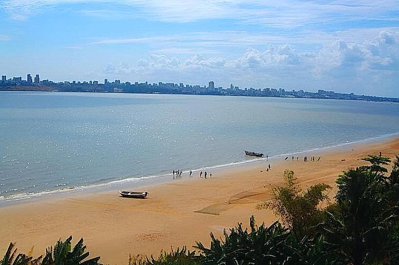
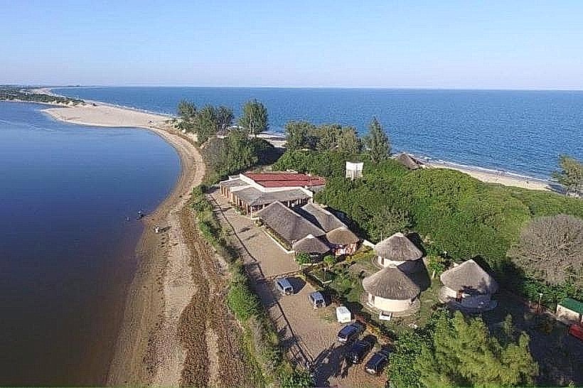
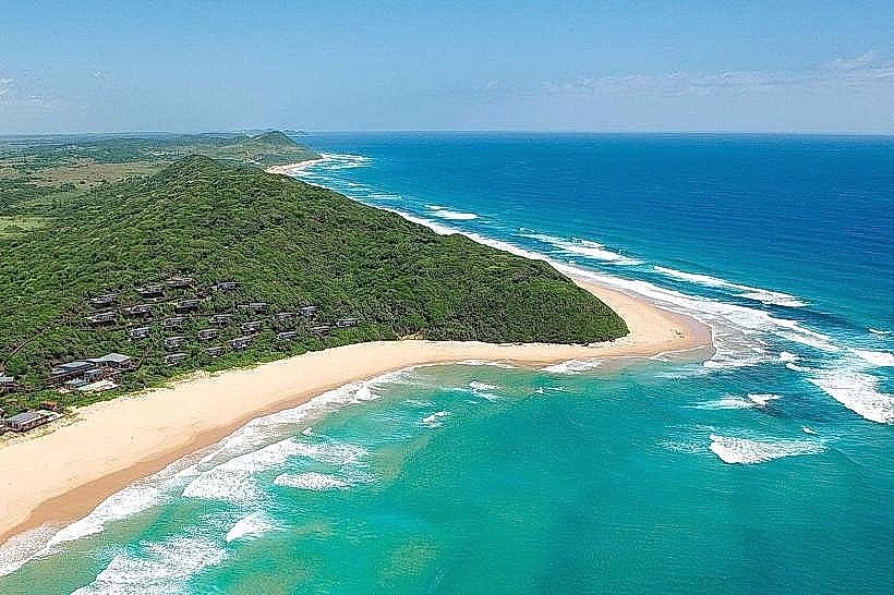
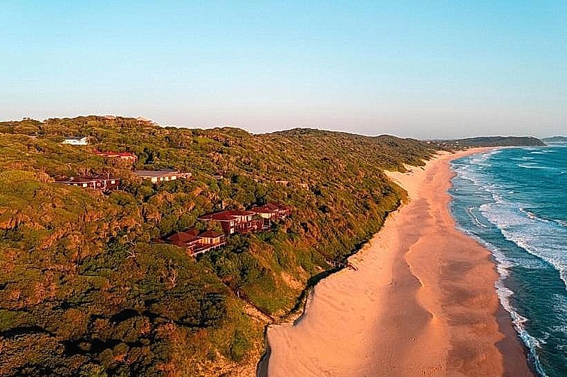
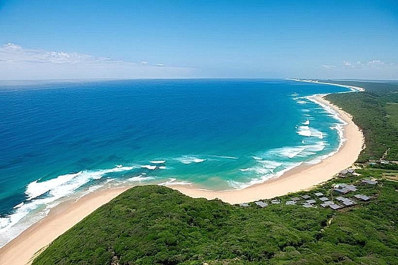
Coconut Bay is a coastal area situated south of Maputo, Mozambique.
It is characterized by its sandy shoreline and proximity to marine ecosystems.
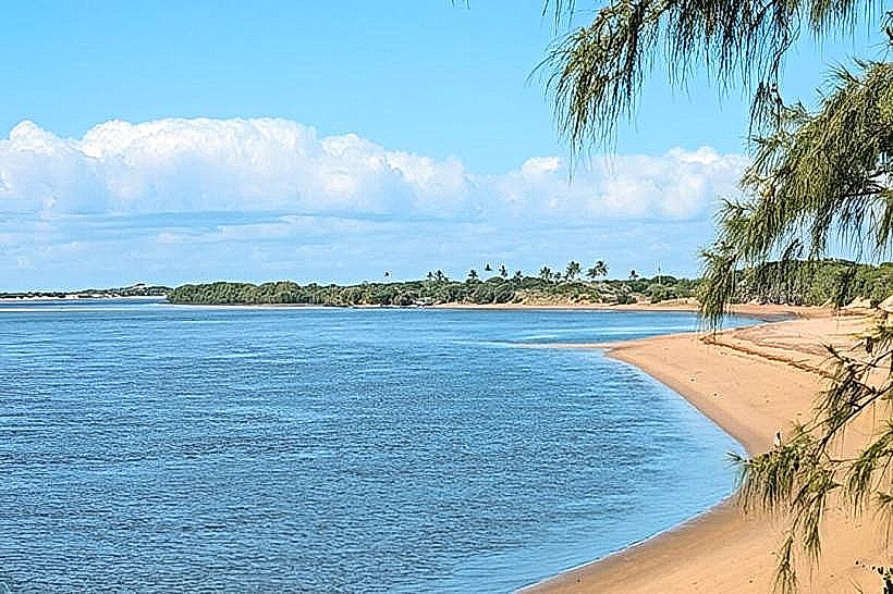
Visual Characteristics
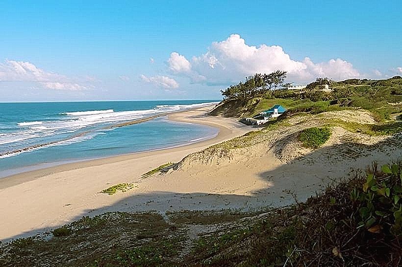
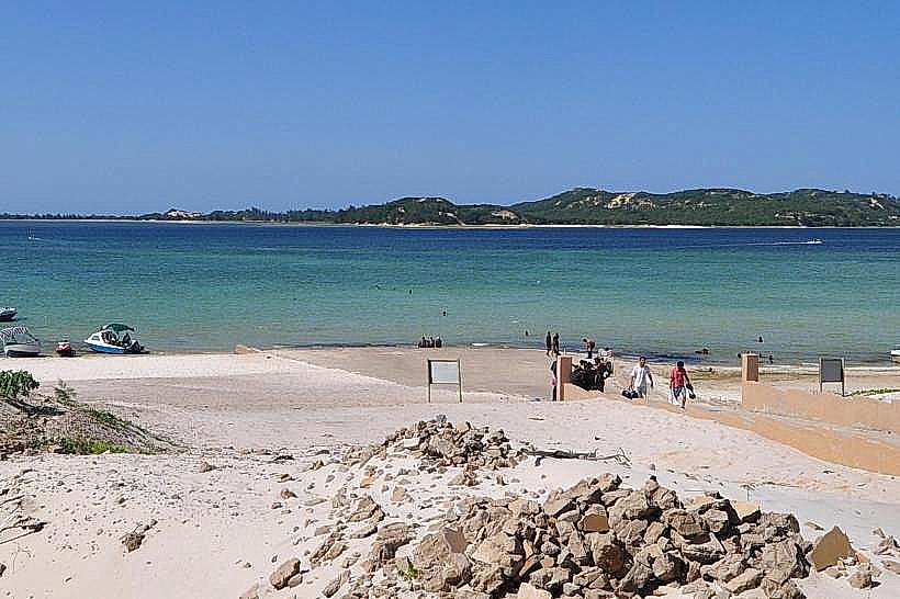
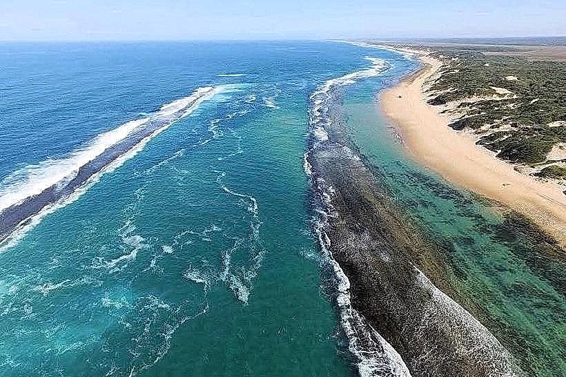
The shoreline consists of fine, light-colored sand. The water exhibits a clear, turquoise hue, transitioning to deeper blue further offshore. Scattered coconut palm trees line the immediate coastal edge, providing limited natural shade. The seabed is predominantly sandy with occasional rocky outcrops.
Location & Access Logistics
Coconut Bay is located approximately 15 kilometers south of Maputo's city center. Access is via the EN1 highway, turning off onto a well-maintained paved road leading directly to the bay. Ample parking is available in designated gravel lots adjacent to the beach. Public transport options are limited; local minibuses (known as 'chapas') operating on routes towards Ponta do Ouro may stop at the turn-off, requiring a short walk to the bay.
Historical & Ecological Origin
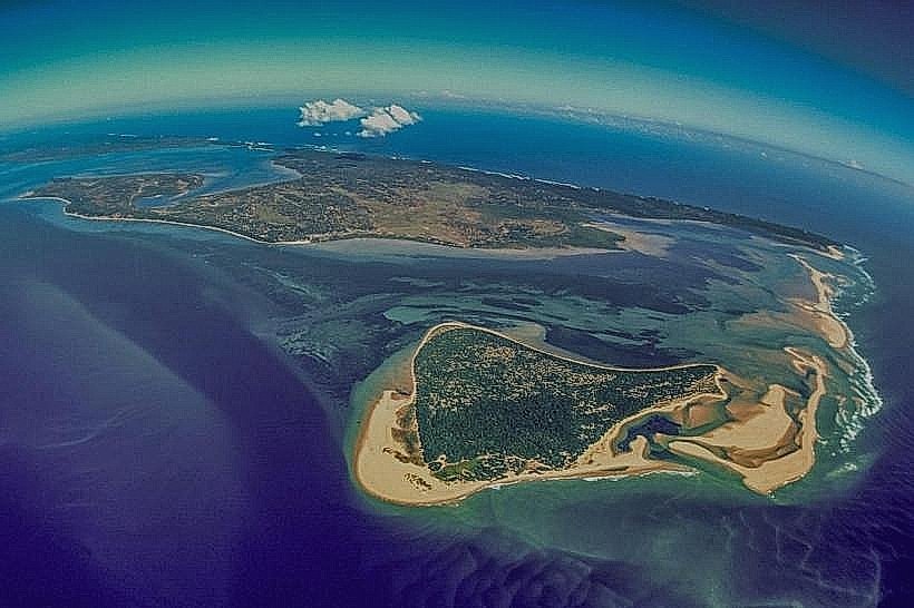
The bay's formation is a result of coastal erosion and sediment deposition over millennia, typical of the Mozambican coastline. Ecologically, it forms part of the Indo-Pacific marine region, supporting a variety of coastal flora and fauna.
Key Highlights & Activities
Swimming is possible in calm conditions. Beachcombing along the shoreline is a common activity. Observation of local birdlife is feasible. Fishing from the shore can be undertaken, particularly during dawn and dusk.
Infrastructure & Amenities
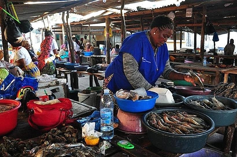
Basic, open-air food stalls operated by local vendors are present during peak hours, offering grilled seafood and beverages. Public restroom facilities are rudimentary and may not always be operational. Cell phone signal (4G) is generally available.
Best Time to Visit
The optimal time for visiting is during the dry season, from April to October, when rainfall is minimal and temperatures are moderate. Mid-morning offers good natural light for photography. High tide is generally preferred for swimming.
Facts & Legends
Local folklore suggests that the bay was a favored resting spot for ancient mariners navigating the coast, who would replenish their supplies of coconuts from the abundant trees. A specific tip for visitors is to explore the rock pools exposed at low tide for small marine life.
Nearby Landmarks
- Maputo City Center (15km North)
- Inhaca Island (25km Northeast, accessible by boat)
- Machangulo Peninsula (10km South)
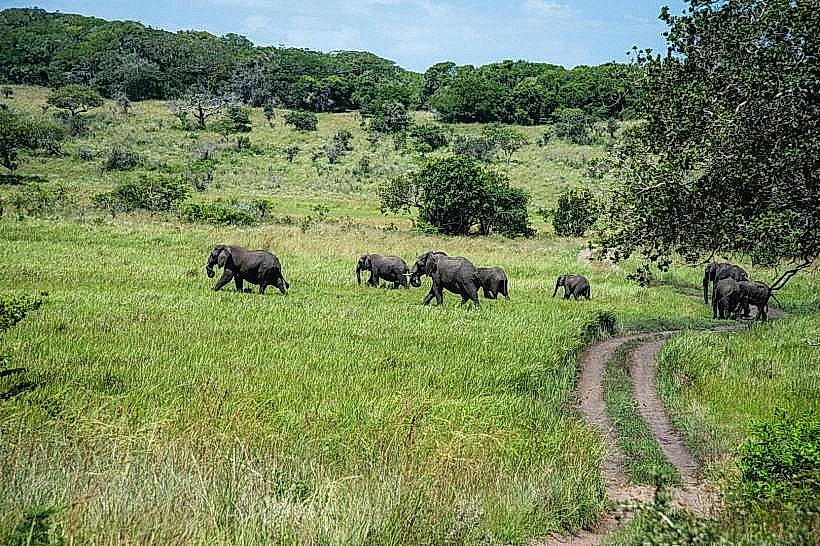
- Maputo Elephant Reserve (30km South)