Landmark: Macaneta Beach
City: Maputo
Country: Mozambique
Continent: Africa
Macaneta Beach, Maputo, Mozambique, Africa
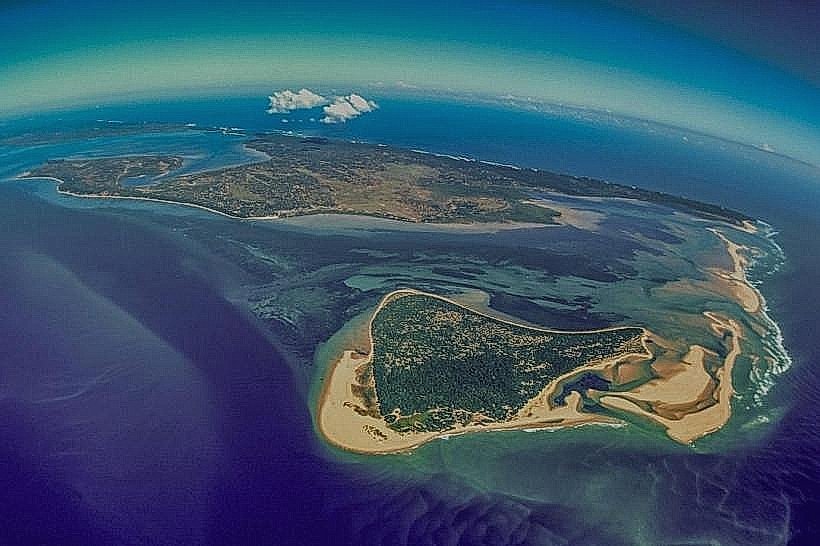
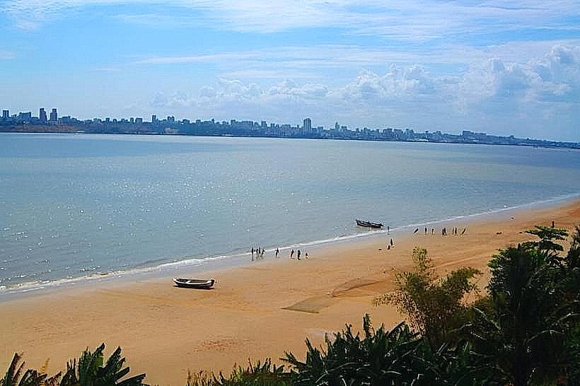
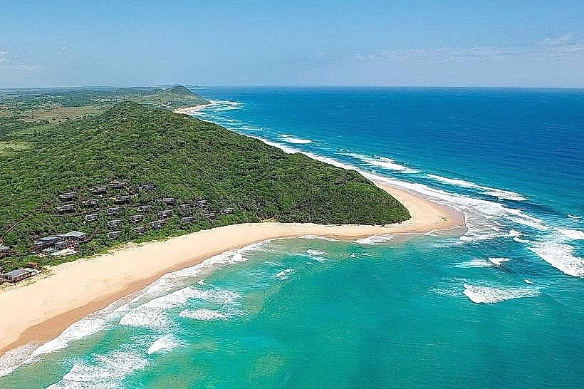
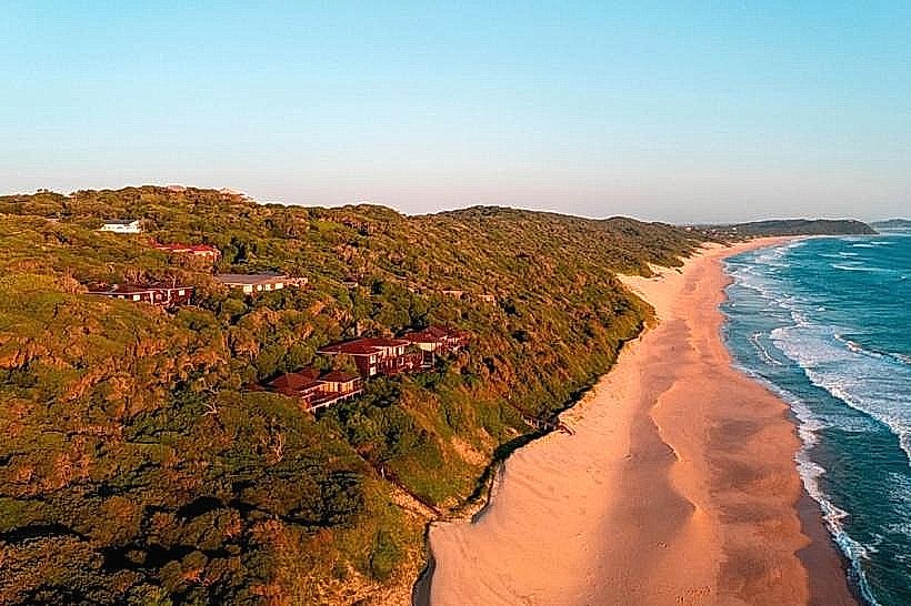
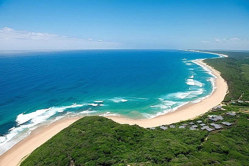
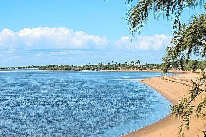
Macaneta Beach is a coastal area located south of Maputo, Mozambique, accessible via a sandy track.
Visual Characteristics
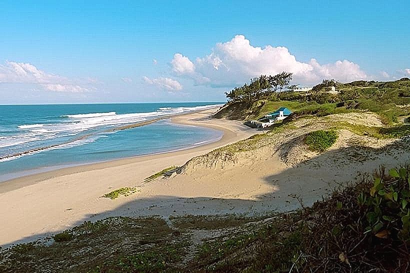
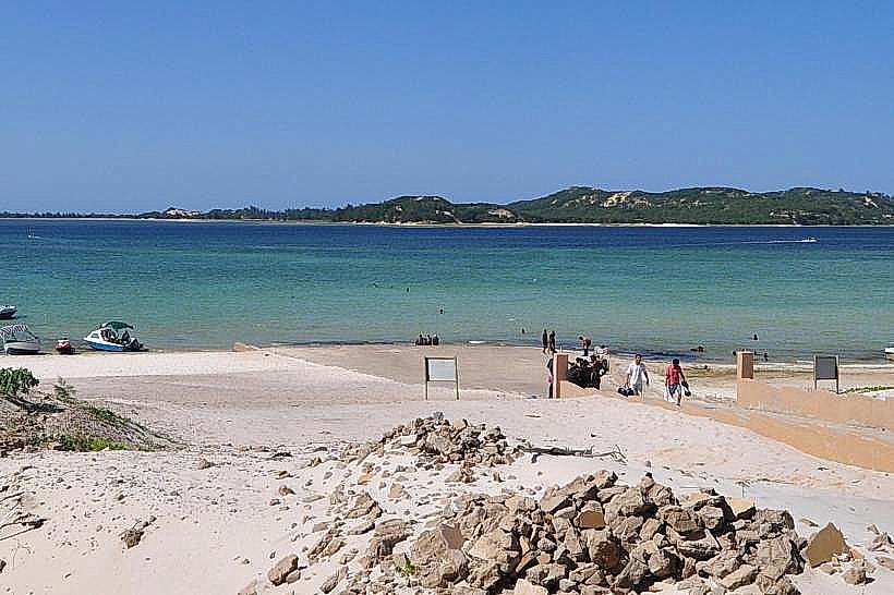
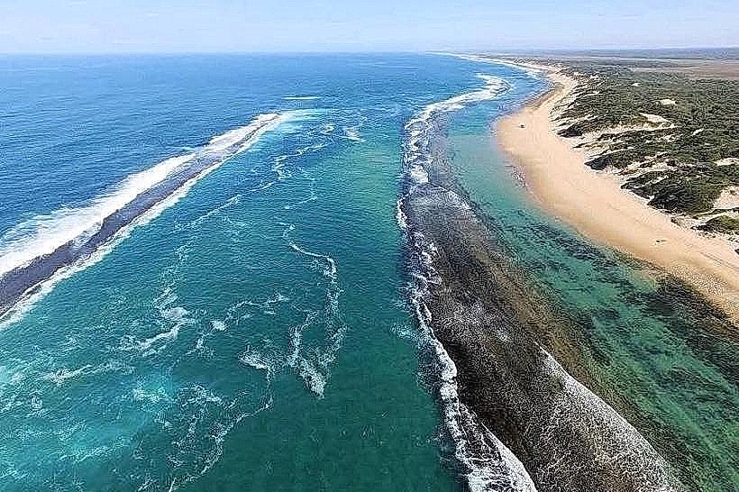
The beach features a wide expanse of pale, fine-grained sand. The ocean water is typically a clear blue-green. Coastal vegetation consists of low-lying scrub and scattered palm trees.
Location & Access Logistics
Macaneta Beach is situated approximately 30 kilometers south of Maputo's city center. Access is primarily via the EN1 highway, turning off onto a designated sandy track (often requiring a 4x4 vehicle, especially after rain). There is no formal parking; vehicles park directly on the sand. Public transport options are limited; shared taxis (minibus taxis) may travel part of the way, but a private vehicle or organized transfer is recommended.
Historical & Ecological Origin
Macaneta is a natural coastal formation, part of the Mozambique Channel's coastline. Its ecological origin is tied to the deposition of sediments carried by rivers and ocean currents along the southeastern African coast.
Key Highlights & Activities
Activities include swimming, sunbathing, and beachcombing. Fishing is a common local activity. The area is suitable for off-road driving on the beach itself.
Infrastructure & Amenities
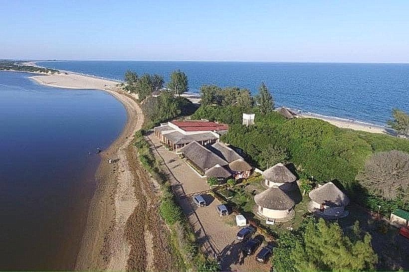
Basic amenities are available, including a few small, informal restaurants and bars selling local food and drinks. Restrooms may be available at these establishments. Shade is provided by natural vegetation and temporary structures. Cell phone signal (4G) is generally available.
Best Time to Visit
The best time of day for photography is during the early morning or late afternoon for softer light. The dry season, from May to October, offers the most favorable weather conditions with less rainfall and lower humidity. High tide can reduce the available beach area.
Facts & Legends
A local anecdote suggests that the name "Macaneta" derives from a type of local fishing net. The beach is known for its strong currents, making swimming conditions variable.
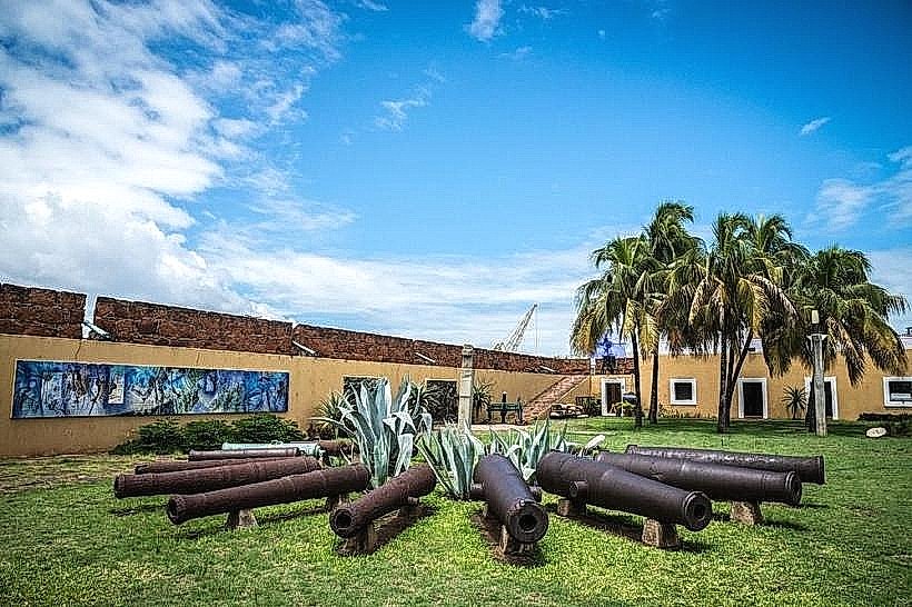
Nearby Landmarks
- Ponta do Ouro (100km South)
- Inhaca Island (Ferry access from Maputo, approx. 40km East across bay)
- Maputo City Center (30km North)
- Xefina Island (Boat access from Maputo, approx. 35km East across bay)