Landmark: Ponta de Ouro
City: Maputo
Country: Mozambique
Continent: Africa
Ponta de Ouro, Maputo, Mozambique, Africa
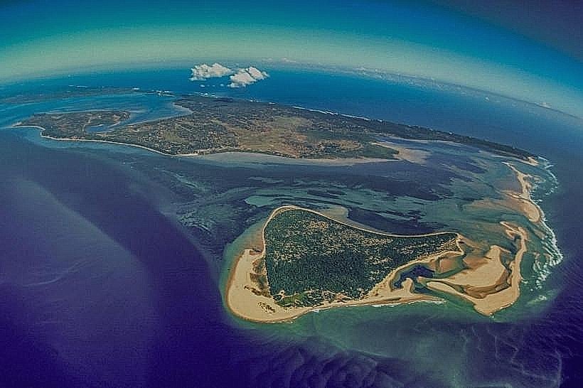
Ponta de Ouro is a coastal settlement located in the southern region of Mozambique, approximately 10 kilometers north of the South African border.
Visual Characteristics
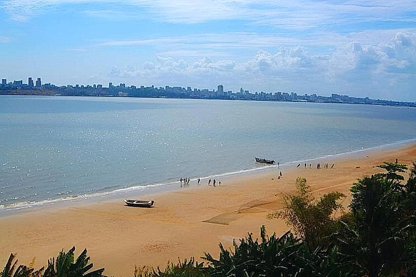
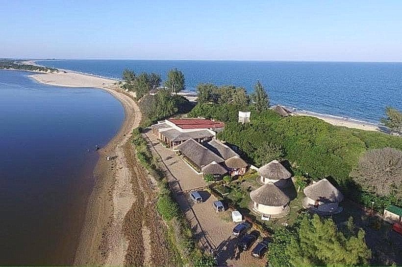
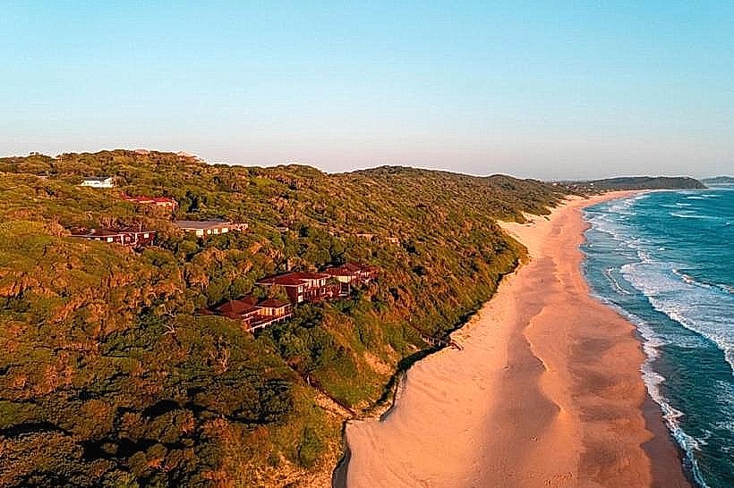
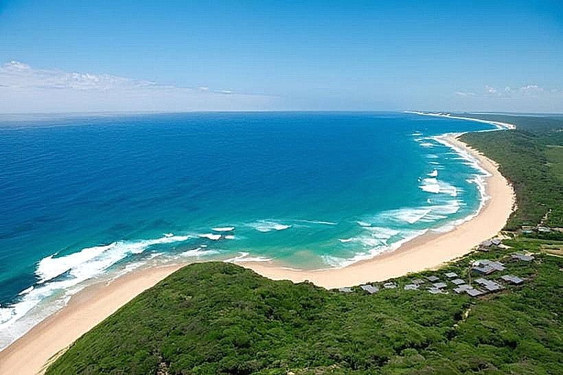
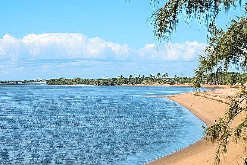
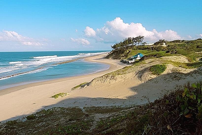
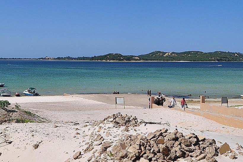
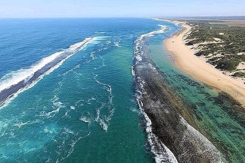
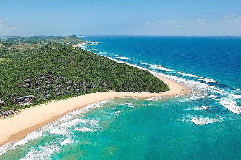
The settlement is characterized by sandy terrain with sparse coastal vegetation, primarily consisting of low-lying shrubs and grasses adapted to the arid conditions. The coastline features wide, sandy beaches that transition into the Indian Ocean. The ocean water exhibits a clear turquoise hue, with visible coral reefs close to the shore in certain areas. Structures within Ponta de Ouro are predominantly low-rise, constructed from concrete, corrugated iron, and wood, reflecting a functional, beach-oriented design.
Location & Access Logistics
Ponta de Ouro is situated approximately 160 kilometers south of Maputo. Access is primarily via a gravel road, the EN1, for the initial 100 kilometers, followed by a sandy track for the remaining 60 kilometers. A 4x4 vehicle is strongly recommended, particularly during the rainy season, due to the challenging sandy conditions. There is limited designated parking available at accommodations and public access points. Public transport options are scarce; shared taxis (machimbombos) operate from Maputo to the general vicinity, but a final transfer via private vehicle or specialized 4x4 taxi is typically required for the last segment.
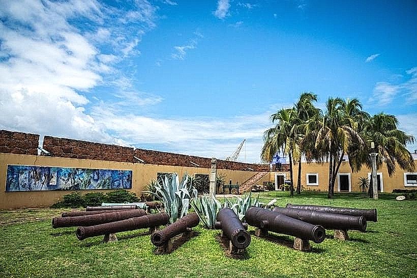
Historical & Ecological Origin
Ponta de Ouro's origin is tied to its strategic coastal position and the development of rudimentary fishing and trading posts. Historically, it served as a point of entry and observation. Ecologically, the area is part of the Maputo Corridor, a region known for its marine biodiversity, including coral reefs and a variety of fish species. The sandy beaches are a result of coastal erosion and sediment deposition processes.
Key Highlights & Activities
Activities include scuba diving and snorkeling, with numerous dive operators offering excursions to local reefs such as "2 Mile Reef" and "Ponta Reef." Deep-sea fishing charters are available. Dolphin and whale watching tours operate seasonally. Beach driving is permitted in designated areas. Swimming is possible, but caution is advised due to ocean currents.
Infrastructure & Amenities
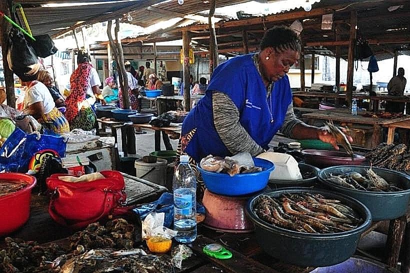
Basic infrastructure includes a small number of lodges and guesthouses. Restrooms are generally available at accommodation facilities and some public beach access points. Shade is provided by natural vegetation and structures at private establishments. Cell phone signal (2G/3G) is intermittent and unreliable in most areas. Limited food vendors and small shops are present, offering basic supplies and prepared meals.
Best Time to Visit
The dry season, from April to October, offers the most favorable weather conditions with lower humidity and minimal rainfall. The best time of day for underwater visibility is typically mid-morning to early afternoon, when sunlight penetration is optimal. High tide is generally preferred for accessing certain reef areas for snorkeling.
Facts & Legends
A notable historical fact is that Ponta de Ouro was a popular destination for South African tourists before Mozambique's independence, and its resurgence as a tourist spot reflects a return to its past accessibility. A local legend speaks of a large, ancient sea turtle that is said to inhabit the deeper waters offshore, occasionally sighted by fishermen.
Nearby Landmarks
- Inhaca Island (30km North-West)
- Machangulo Peninsula (15km North)
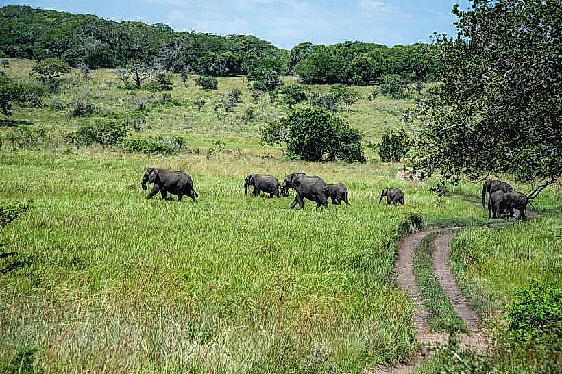
- Maputo Elephant Reserve (40km North)
- Kosi Bay (South Africa) (10km South)