Landmark: Cumana Bay
City: Toco
Country: Trinidad and Tobago
Continent: North America
Cumana Bay, Toco, Trinidad and Tobago, North America
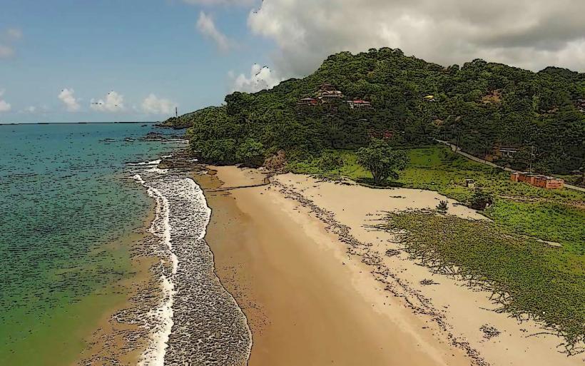
Cumana Bay is a coastal inlet located on the northeastern tip of Trinidad, near the village of Toco.
This bay is characterized by its clear, shallow waters and a shoreline composed of coarse, dark sand.
Visual Characteristics
The bay's waters exhibit a translucent quality, allowing visibility to the sandy bottom. The shoreline is approximately 1.5 kilometers in length, with a width averaging 50 meters. The sand is a dark grey, granular composition, interspersed with small coral fragments. The surrounding vegetation consists of dense tropical foliage, primarily palm trees and various shrubs, reaching the edge of the beach.
Location & Access Logistics
Cumana Bay is situated 105 kilometers east of Port of Spain, the capital city. Access is via the Churchill-Roosevelt Highway, transitioning to the Eastern Main Road, and finally onto the Toco Main Road (Saddle Road). The final 5 kilometers to the bay are on a paved, but narrow, local road. Parking is available on an unpaved area adjacent to the beach, accommodating approximately 20 vehicles. Public transport options are limited; the Eastern Main Road is served by route buses (e.g., P.O.S. to Sangre Grande), with a local taxi or maxi-taxi required for the final leg to Toco and Cumana Bay.
Historical & Ecological Origin
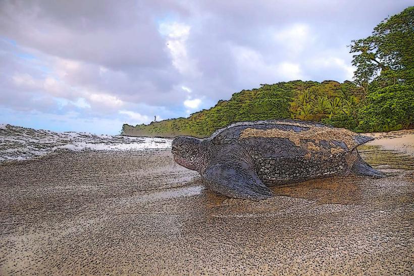
Cumana Bay is a natural geological formation, a coastal indentation formed by marine erosion over millennia. The bay's ecosystem is a shallow marine environment supporting a variety of reef fish and benthic organisms. The surrounding land is part of Trinidad's primary tropical rainforest biome.
Key Highlights & Activities
Swimming is possible in the calm waters of the bay. Snorkeling can be undertaken near the rocky outcrops at the bay's western edge, particularly during calm sea conditions. Beachcombing along the shoreline is a common activity. Observation of local birdlife in the adjacent vegetation is also possible.
Infrastructure & Amenities
There are no permanent restroom facilities or food vendors directly at Cumana Bay. Basic amenities such as shade are provided by the natural tree cover along the beach's edge. Cell phone signal (4G) is generally available but can be intermittent closer to the water's edge.
Best Time to Visit
The best time for clear water visibility for snorkeling is during the dry season, from January to May. Mid-morning offers optimal lighting conditions for photography due to the angle of the sun. High tide is generally preferred for swimming and accessing the full width of the beach.
Facts & Legends
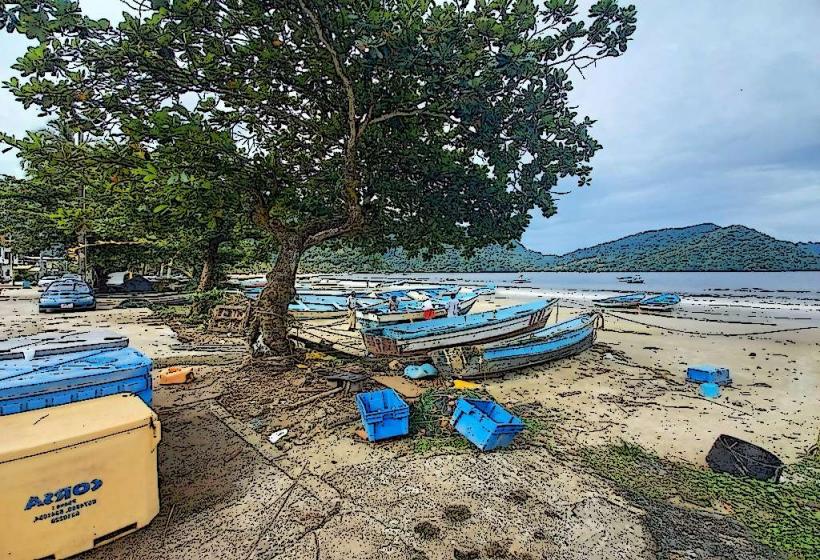
Local folklore suggests that the bay was a favored resting spot for ancient mariners navigating the waters between Trinidad and Tobago. A specific historical note is the presence of a small, disused fishing jetty on the western side, remnants of a past small-scale fishing operation.
Nearby Landmarks
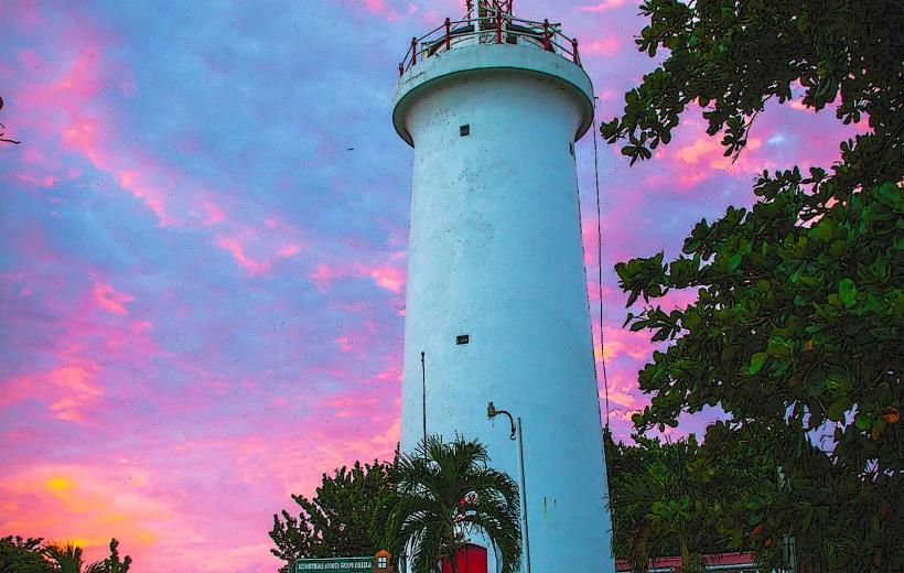
- Toco Lighthouse (1.2km North)
- Sans Souci Beach (3.5km East)
- Matura National Park (15km West)
- Valencia Forest Reserve (18km Southwest)