Landmark: Galera Point
City: Toco
Country: Trinidad and Tobago
Continent: North America
Galera Point, Toco, Trinidad and Tobago, North America
Galera Point is a prominent headland located at the northeastern tip of Trinidad, within the Toco district of Trinidad and Tobago.
This geographical feature marks the closest point of Trinidad to the island of Tobago.
Visual Characteristics
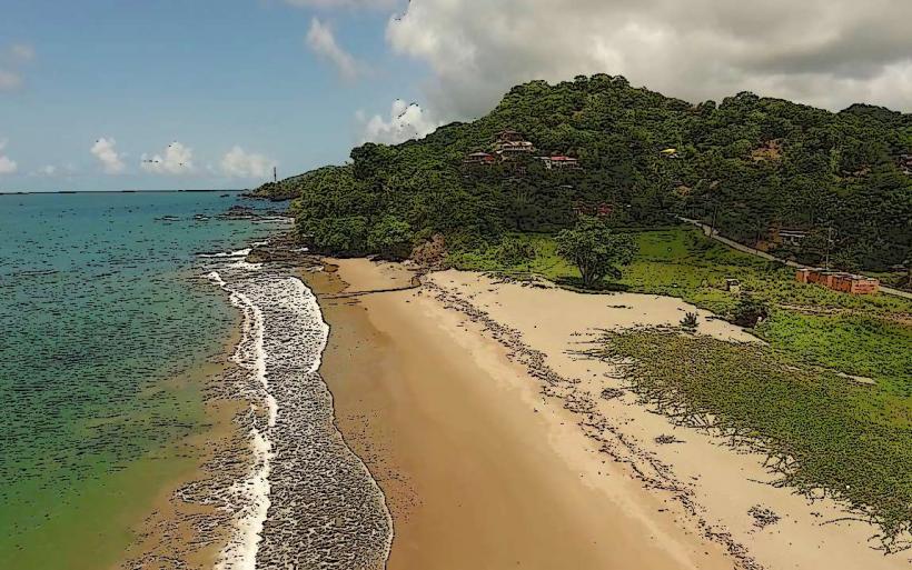
The headland is characterized by exposed sedimentary rock formations, primarily sandstone and shale, exhibiting a layered appearance. Vegetation consists of dense coastal scrub and scattered tropical trees, with a noticeable absence of large forest cover directly on the point. The coastline features rugged cliffs and small, rocky coves. The water surrounding the point is typically a deep blue, influenced by oceanic currents.
Location & Access Logistics
Galera Point is situated approximately 45 kilometers east of Sangre Grande. Access is via the Toco Main Road (Saddle Road), which terminates near the point. The final approach involves a short, unpaved track suitable for most vehicles, though caution is advised after heavy rain. Parking is available on a cleared area adjacent to the lighthouse. Public transport options are limited; the nearest bus route (e.g., P.T.S.C. bus to Toco) requires a subsequent walk of approximately 1.5 kilometers.
Historical & Ecological Origin
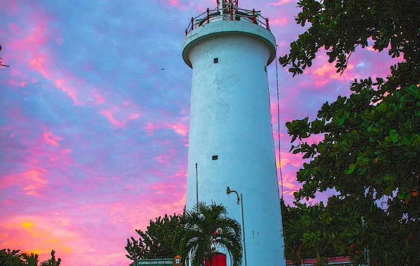
The geological origin of Galera Point is attributed to sedimentary deposition during the Miocene epoch, with subsequent erosion shaping its current form. The Toco Lighthouse, a significant man-made structure on the point, was constructed in 1897. Its original purpose was to aid maritime navigation in the treacherous waters of the Dragon's Mouth and the approaches to the Atlantic Ocean.
Key Highlights & Activities
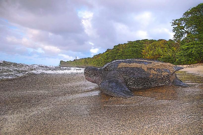
Observation of marine wildlife, including dolphins and whales during migration seasons (typically March-May and September-November). Photography of the Toco Lighthouse and the coastal landscape. Birdwatching for coastal and migratory species. Coastal exploration of the rock formations at low tide.
Infrastructure & Amenities
Restrooms are not present at the immediate site. Shade is minimal, provided only by sparse vegetation. Cell phone signal (4G/5G) is generally available. No food vendors are located directly at Galera Point; provisions should be made from Toco village.
Best Time to Visit
For photography, early morning (07:00-09:00) and late afternoon (16:00-18:00) offer optimal lighting conditions. The dry season, from January to May, provides the most stable weather. High tide is not a limiting factor for access to the point itself, but low tide facilitates exploration of the immediate shoreline.
Facts & Legends
A local legend suggests that the point was named "Galera" by early Spanish explorers due to the resemblance of the rock formations to a galley ship. The Toco Lighthouse is one of the few remaining operational lighthouses in Trinidad and Tobago, maintained by the Port Authority.
Nearby Landmarks
- Toco Village (1.5km Southwest)
- Grand Riviere Beach (12km West)
- Matura National Park (25km Southwest)
- Saline Bay (8km Southeast)