Information
Landmark: Dayang Bunting Marble Geoforest ParkCity: Malacca
Country: Malaysia
Continent: Asia
Dayang Bunting Marble Geoforest Park, Malacca, Malaysia, Asia
Dayang Bunting Marble Geoforest Park is a geological and ecological site located on the island of Pulau Dayang Bunting, part of the Langkawi archipelago in Malaysia.
Visual Characteristics
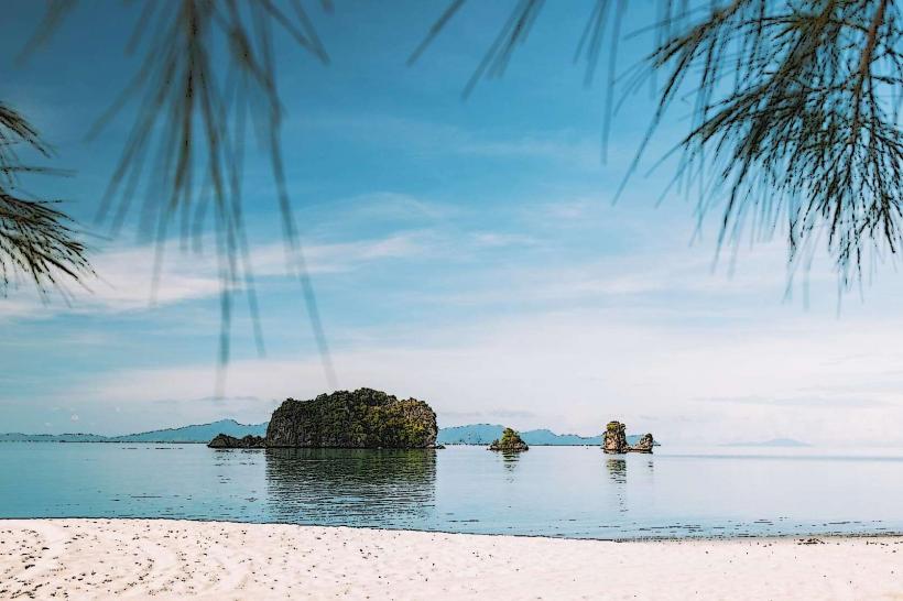
The park features large limestone formations, including karst topography with exposed marble rock faces. The area is characterized by dense tropical rainforest vegetation surrounding a freshwater lake, Tasik Dayang Bunting. The lake itself is a prominent geological feature, formed by the collapse of a cave system.
Location & Access Logistics
Access to Pulau Dayang Bunting is via ferry from Kuah Jetty on the main island of Langkawi. Ferries operate regularly throughout the day. From the ferry terminal on Pulau Dayang Bunting, a paved walkway, approximately 800 meters long, leads to Tasik Dayang Bunting. There is no direct road access to the park from the ferry terminal. Parking is available at Kuah Jetty on Langkawi.
Historical & Ecological Origin
The geological formations are primarily composed of Devonian-aged limestone, dating back approximately 280-540 million years. The park is classified as a karst landscape. Tasik Dayang Bunting is a freshwater lake formed by the natural damming of a river valley, likely due to geological subsidence or the collapse of an underground cave system.
Key Highlights & Activities
Visitors can walk the paved path to Tasik Dayang Bunting. Swimming is permitted in designated areas of the lake. Observation platforms provide views of the surrounding karst formations and the lake. The park is also a habitat for various bird species and small mammals.
Infrastructure & Amenities
Restrooms are available near the entrance to the walking path. Shaded rest areas are located along the walkway. Cell phone signal (4G) is generally available. Food and drink vendors are typically present near the ferry terminal on Pulau Dayang Bunting and at Kuah Jetty on Langkawi.
Best Time to Visit
The best time of day for photography is generally in the morning or late afternoon when the sunlight provides optimal illumination of the rock formations. The dry season, from December to March, offers the most pleasant weather conditions with less rainfall. The lake is accessible year-round.
Facts & Legends
Local legend states that the lake is the resting place of a fairy princess. It is believed that drinking from the lake can bestow fertility. Geologically, the exposed marble is a significant feature of the Langkawi UNESCO Global Geopark.
Nearby Landmarks
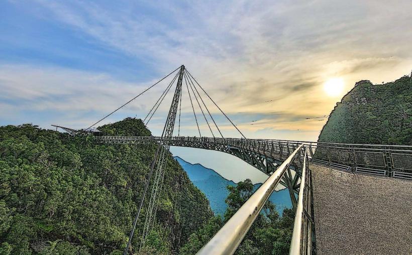
- Telaga Tujuh Waterfalls (7.2km Northwest)
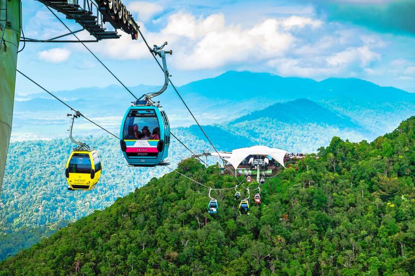
- Langkawi Sky Bridge (8.5km Northwest)
- Seven Wells Waterfall (7.2km Northwest)
- Eagle Square (Dataran Lang) (12.1km West)
- Underwater World Langkawi (13.5km West)