Landmark: Devil’s Bridge
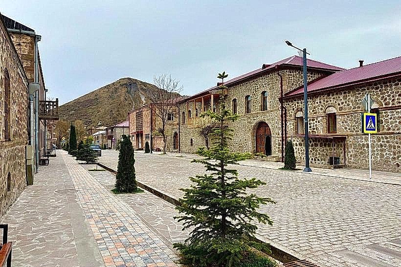
City: Goris
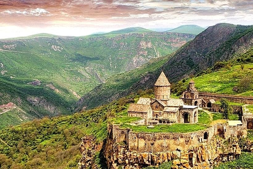
Country: Armenia
Continent: Asia
Devil’s Bridge, Goris, Armenia, Asia
Devil's Bridge is a natural bridge formation located in the Vorotan River Gorge near Goris, Armenia.
It is a geological formation consisting of three natural bridges formed by the erosion of limestone.
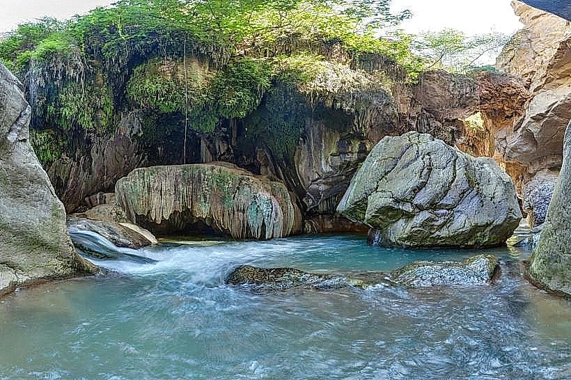
Visual Characteristics
The bridge is composed of porous, travertine rock, exhibiting shades of yellow, grey, and white. It spans approximately 30 meters in length and reaches a height of about 15 meters above the river. The surface is uneven, with mineral deposits and small pools of water visible in depressions.
Location & Access Logistics
Devil's Bridge is situated 3 kilometers south of Goris. Access is via the M2 highway, turning onto a signposted gravel road (approximately 1.5 km) leading to a designated parking area. From the parking lot, a marked pedestrian path descends into the gorge, taking approximately 10-15 minutes to reach the bridge. Public transport to Goris is available via intercity buses from Yerevan. Local taxis can be hired in Goris for transport to the bridge site.
Historical & Ecological Origin
This formation is a result of natural geological processes, specifically the dissolution of limestone by the acidic waters of the Vorotan River over millennia. The porous travertine rock is deposited by mineral-rich springs. The area is classified as a karst landscape.
Key Highlights & Activities
Visitors can walk across the natural bridge. Photography of the geological formation and the surrounding gorge is a primary activity. Descending to the river level below the bridge is possible via a separate, steeper trail. Bathing in the natural pools beneath the bridge is permitted during warmer months.
Infrastructure & Amenities
A small, unpaved parking area is available. There are no permanent restroom facilities or food vendors at the immediate site. Cell phone signal (4G) is intermittent within the gorge. Limited shade is provided by sparse vegetation on the gorge walls.
Best Time to Visit
For optimal lighting for photography, early morning or late afternoon is recommended. The best months for comfortable visitation are May through October, avoiding potential winter ice on the paths. Water levels in the Vorotan River are typically lower in late summer, making access to the riverbed easier.
Facts & Legends
Local folklore suggests the bridge was created by the devil to allow his bride to cross the gorge. Geologically, the bridge is a testament to the slow but powerful forces of water erosion on soluble rock types.
Nearby Landmarks
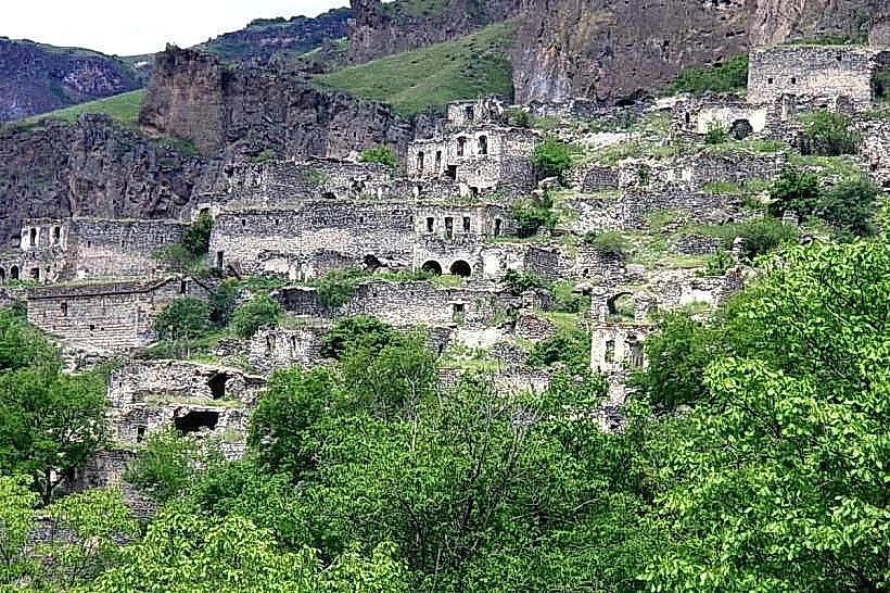
- Old Goris Cave Dwellings (1.5km Northwest)
- Goris State Museum of Regional Studies (3.2km North)
- Shinuayr Village (4.0km South)
- Vahagnaberd Fortress (4.8km Southwest)