Information
Landmark: Ecclesville ReservoirCity: Rio Claro
Country: Trinidad and Tobago
Continent: North America
Ecclesville Reservoir, Rio Claro, Trinidad and Tobago, North America
Ecclesville Reservoir is a man-made water storage facility located in the central region of Trinidad, near the city of Rio Claro.
It serves as a critical component of the local water supply infrastructure.
Visual Characteristics
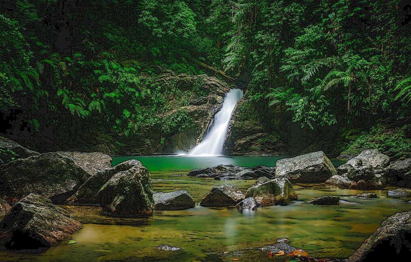
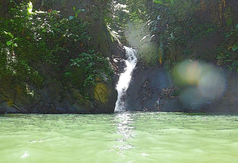
The reservoir is characterized by a large, irregular body of water contained by earthen dams. The water color varies from deep blue to greenish-brown depending on sediment load and algal bloom. The surrounding terrain consists of undulating hills with moderate vegetation cover, primarily secondary forest and agricultural plots. The dam structures are composed of compacted earth and rock fill, with concrete spillways.
Location & Access Logistics
Ecclesville Reservoir is situated approximately 8 kilometers southwest of Rio Claro. Access is via the Naparima-Mayaro Road (Siparia Road), turning onto Ecclesville Road. The final approach is via unpaved service roads leading to the dam crest. Parking is available on the dam crest and at designated pull-off points along the service roads. No public transport directly serves the reservoir; visitors typically arrive by private vehicle.
Historical & Ecological Origin
Construction of the Ecclesville Reservoir commenced in the late 1970s and was completed in the early 1980s. It was engineered by the Water and Sewerage Authority (WASA) of Trinidad and Tobago to augment water resources for the southern and central regions of the island. The reservoir impounds water from the Guaracara River and local catchment areas.
Key Highlights & Activities
Observation of the dam structure and spillway is possible from the dam crest. Birdwatching is a common activity due to the presence of various waterfowl and terrestrial species in the surrounding habitat. Fishing is permitted with a valid WASA permit. Hiking along the dam crest offers panoramic views of the reservoir and surrounding landscape.
Infrastructure & Amenities
Restrooms are not available at the reservoir site. Shade is limited to natural tree cover in the surrounding areas. Cell phone signal (4G/5G) is generally available but can be intermittent near the water's edge. No food vendors are present at the reservoir; visitors should bring their own provisions.
Best Time to Visit
The best time of day for photography is during the early morning or late afternoon when the sun angle provides softer light. The dry season, from January to May, generally offers clearer water and more stable weather conditions. During the wet season (June to December), water levels are higher, but rainfall can impact accessibility and visibility.
Facts & Legends
A local anecdote suggests that during periods of extreme drought, the reservoir's water level has historically revealed submerged remnants of an old colonial-era plantation house, though this has not been officially documented.
Nearby Landmarks
- 3.5km Northeast: Rio Claro town center
- 4.0km Northwest: Guaracara River
- 4.8km Southeast: Southern Main Road (Naparima-Mayaro Road)