Information
Landmark: Kernahan WetlandsCity: Rio Claro
Country: Trinidad and Tobago
Continent: North America
Kernahan Wetlands, Rio Claro, Trinidad and Tobago, North America
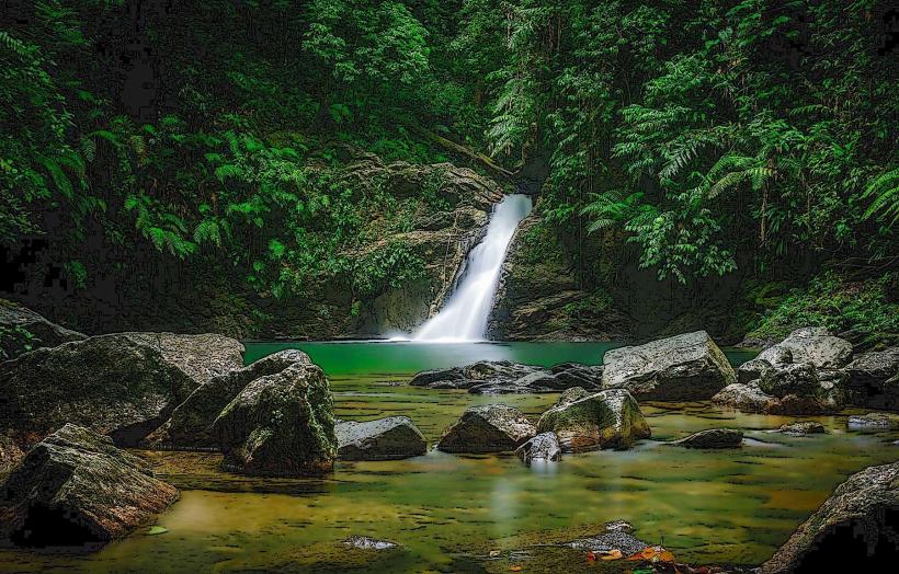
The Kernahan Wetlands is a protected ecological area located in the vicinity of Rio Claro, Trinidad and Tobago.
This site comprises a significant expanse of mangrove forest and associated aquatic habitats.
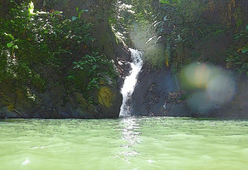
Visual Characteristics
The dominant vegetation consists of red mangrove (Rhizophora mangle) and white mangrove (Laguncularia racemosa), forming dense, interconnected root systems. Water channels within the wetlands are typically brackish, varying in clarity based on tidal influence and rainfall. Birdlife is a prominent visual element, with various species observable within the canopy and along the water's edge.
Location & Access Logistics
The Kernahan Wetlands are situated approximately 10 kilometers southeast of the town center of Rio Claro. Access is primarily via the Naparima Mayaro Road (Siparia Road), turning onto smaller, unpaved tracks leading towards the wetland perimeter. Vehicle access is limited to 4x4 vehicles during the wet season due to muddy conditions. No public transport directly serves the wetland area; private vehicle or organized tour transport is required. Parking is informal and unmanaged at designated entry points.
Historical & Ecological Origin
The Kernahan Wetlands are a natural formation, classified as a coastal mangrove ecosystem. Mangrove forests in this region developed over millennia, influenced by sediment deposition from rivers and tidal inundation. These ecosystems serve as critical nurseries for marine life and act as natural buffers against coastal erosion and storm surges.
Key Highlights & Activities
Boat tours are the primary method for exploring the wetlands, offering opportunities for birdwatching and observing mangrove ecology. Kayaking is also possible in designated channels. Visitors can observe a variety of bird species, including herons, egrets, and migratory waterfowl. The dense root systems of the mangroves are visible from the water.
Infrastructure & Amenities
There are no permanent infrastructure facilities within the Kernahan Wetlands. Basic amenities such as restrooms and food vendors are not present at the site itself. Cell phone signal is intermittent to non-existent within the core wetland areas. Shade is provided by the mangrove canopy. Some tour operators may offer basic seating at their departure points.
Best Time to Visit
The dry season, from January to May, offers more stable access conditions. The early morning and late afternoon provide optimal lighting for photography and increased bird activity. Tidal patterns influence water levels in the channels; low tide may expose more of the mangrove root systems, while high tide allows for deeper access by boat.
Facts & Legends
The Kernahan Wetlands are a vital habitat for the critically endangered West Indian whistling duck (Dendrocygna arborea). Local folklore sometimes associates the area with spirits of the water, though these are not formally documented.
Nearby Landmarks
- Nariva Swamp (2.5km Northwest)
- Mayaro Beach (8km Southeast)
- Plum Mitan (6km West)
- Rio Claro town center (10km Northwest)