Information
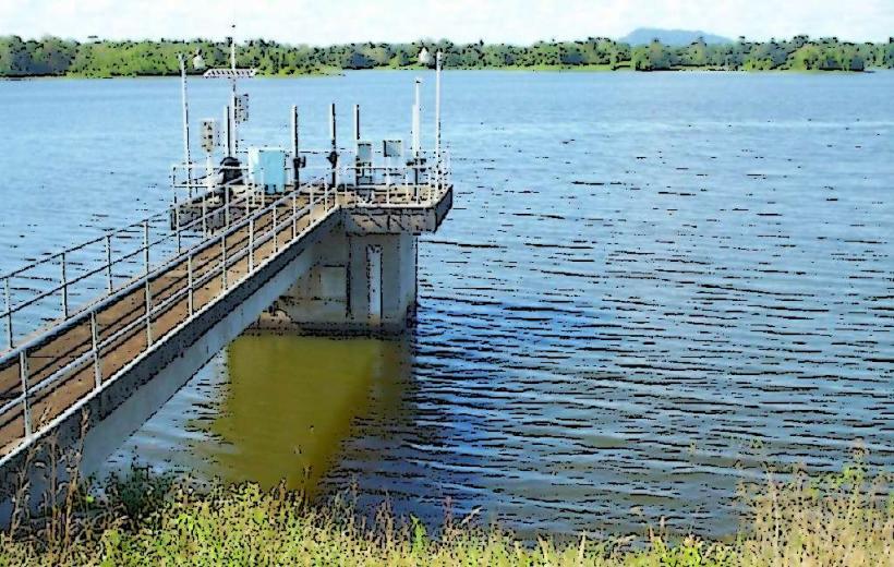
Landmark: Navet DamCity: Rio Claro
Country: Trinidad and Tobago
Continent: North America
Navet Dam, Rio Claro, Trinidad and Tobago, North America
Navet Dam is a reservoir located in central Trinidad, near the city of Rio Claro, Trinidad and Tobago. It serves as a primary water source for the southern and central regions of the island.
Visual Characteristics
The dam itself is constructed of compacted earth and rock. The reservoir's surface varies in color depending on sediment load and depth, typically appearing as a muted blue or grey. Surrounding vegetation is dense tropical forest, primarily secondary growth.
Location & Access Logistics
Navet Dam is situated approximately 8 kilometers southwest of Rio Claro. Access is via the Navet Road, which branches off the Sir Solomon Hochoy Highway (South) at the Princes Town exit, then continuing on Naparima Mayaro Road towards Rio Claro, with a turn onto Navet Road. The drive from Port of Spain is approximately 1.5 hours. Parking is available at designated areas near the dam wall. Public transport options are limited; local taxis or private vehicles are the most practical means of access.
Historical & Ecological Origin
Construction of the Navet Dam was completed in 1960. It was engineered by the Water and Sewerage Authority (WASA) to provide a reliable water supply for agricultural and domestic use. The reservoir is situated within a watershed characterized by tropical rainforest ecosystems.
Key Highlights & Activities
Observation of the dam structure is possible from the access road. Birdwatching is a common activity due to the diverse avian population attracted to the reservoir. Fishing is permitted in designated areas, subject to WASA regulations.
Infrastructure & Amenities
Restrooms are available at the main access point. Limited shade is provided by surrounding trees. Cell phone signal (4G) is generally available. No food vendors are located directly at the dam; provisions should be made in Rio Claro.
Best Time to Visit
The best time of day for photography is early morning or late afternoon for softer light. The dry season, from January to May, offers more stable weather conditions. Water levels are highest following the rainy season (June to December).
Facts & Legends
A local anecdote suggests that during periods of extreme drought, the water level in Navet Dam recedes to reveal submerged remnants of old settlements, though this is unverified.
Nearby Landmarks
- Rio Claro Market (8km Northeast)
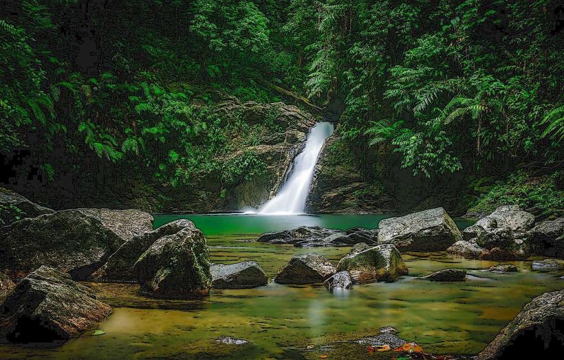
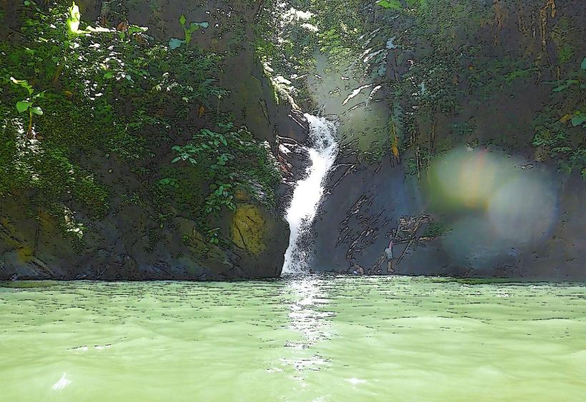
- Trinity Falls (15km Southeast)
- Pitch Lake (25km West)
- San Fernando Hill (30km Northwest)