Information
Landmark: ErapCity: Morobe
Country: Papua New Guinea
Continent: Australia
Erap, Morobe, Papua New Guinea, Australia
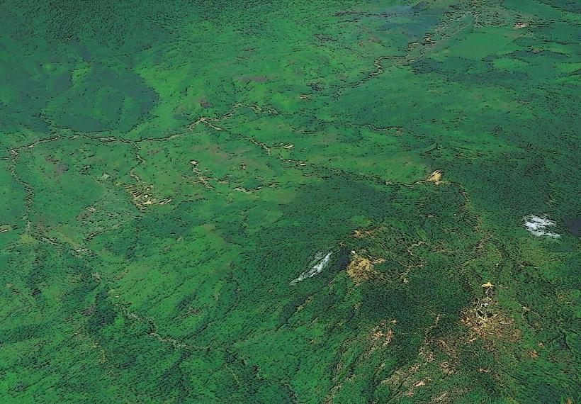
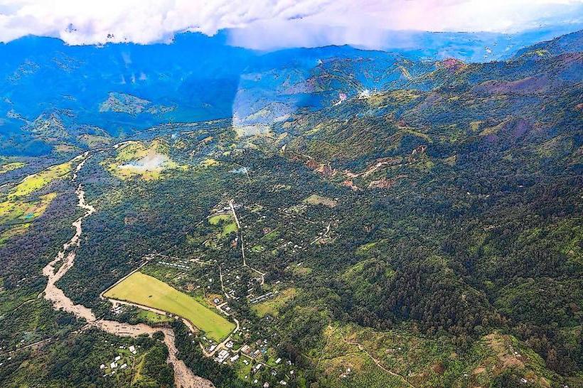
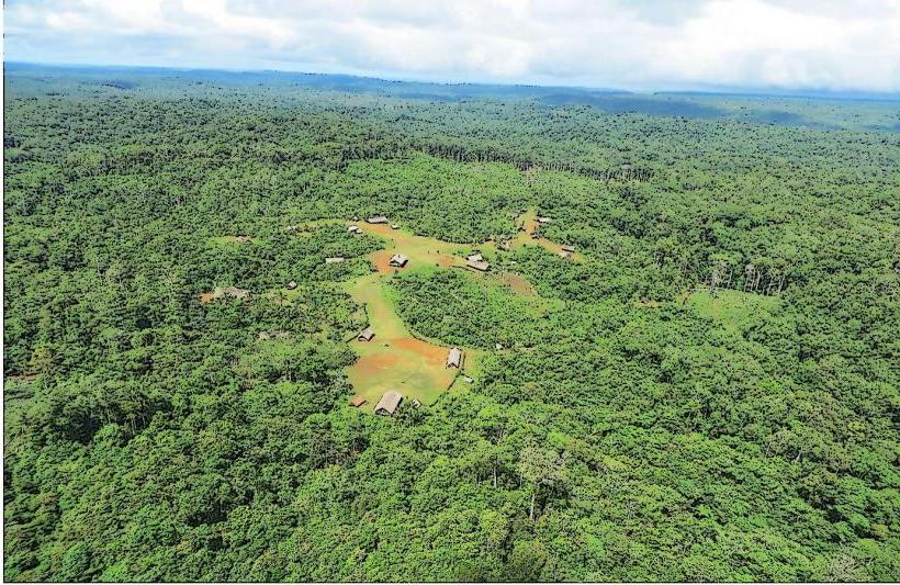
Erap is a geological formation located in Morobe Province, Papua New Guinea.
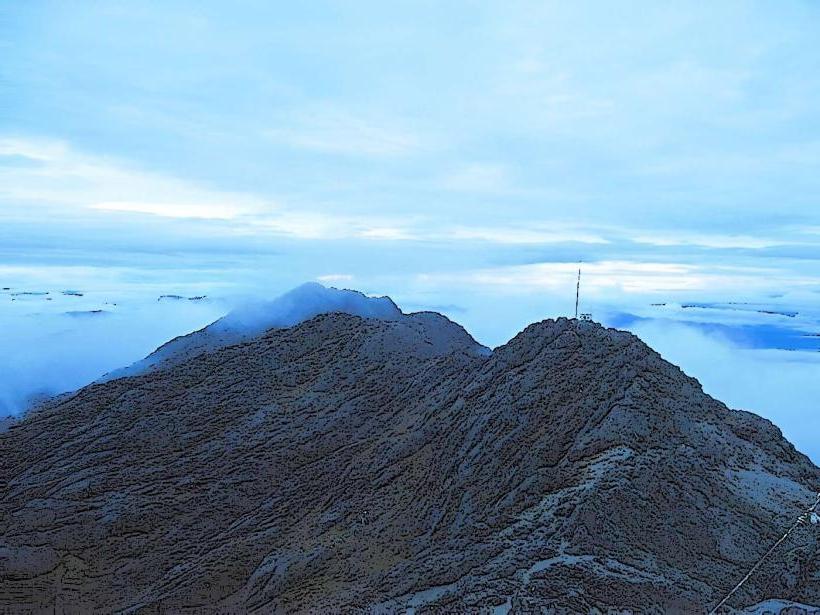
This site features significant limestone karst topography.
Visual Characteristics
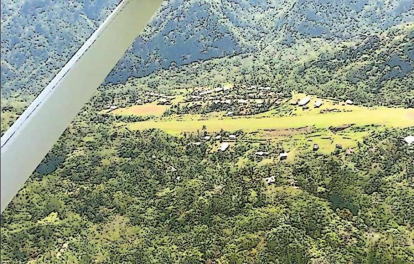
The landscape is characterized by steep, eroded limestone cliffs and sinkholes. Vegetation is dense tropical rainforest, obscuring much of the rock face. Watercourses are typically clear and fast-flowing, carving through the limestone.
Location & Access Logistics
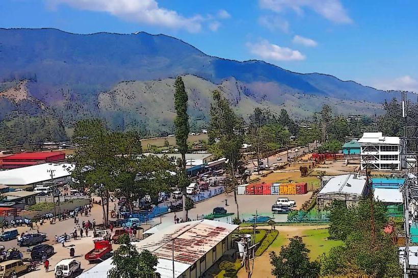
Erap is situated approximately 40 kilometers west of Lae, the provincial capital. Access is primarily via the Highlands Highway (Route 1). The turn-off to Erap is marked and leads to a gravel road. Parking is available at designated pull-off points along the access road, though it is informal. Public transport options are limited; PMV (Public Motor Vehicle) buses traveling the Highlands Highway may stop near the turn-off, requiring a walk of approximately 2 kilometers to the main karst features.
Historical & Ecological Origin
The Erap karst formation is a result of the dissolution of soluble limestone bedrock by rainwater over geological timescales, estimated to be millions of years. It is classified as a tropical karst landscape, supporting a unique ecosystem adapted to the limestone environment.
Key Highlights & Activities
Exploration of sinkholes and caves is possible, though requires appropriate safety equipment and local guidance. Observation of the karst topography from the Highlands Highway provides a general overview. Hiking along the access road and into the surrounding rainforest is feasible, with trails being largely undeveloped.
Infrastructure & Amenities
There are no formal restrooms or shade structures at Erap. Food vendors are not present at the site itself, but may be found in settlements along the Highlands Highway. Cell phone signal (4G/5G) is intermittent and generally unreliable within the immediate karst area.
Best Time to Visit
The dry season, from June to September, offers the most favorable conditions for exploration due to reduced rainfall and lower river levels. The best time of day for general viewing is mid-morning to late afternoon, avoiding the harshest midday sun.
Facts & Legends
Local folklore suggests that certain deep sinkholes within the Erap karst are entrances to the underworld. Geologically, the area is known for its potential for undiscovered cave systems.
Nearby Landmarks
- Morobe Showgrounds (Lae) - 38km East
- Huon Gulf (Coastline) - 45km Southeast
- Arau Village - 5km West
- Wau (Town) - 60km Southwest (via Highlands Highway)