Information
Landmark: KapiagoCity: Morobe
Country: Papua New Guinea
Continent: Australia
Kapiago, Morobe, Papua New Guinea, Australia
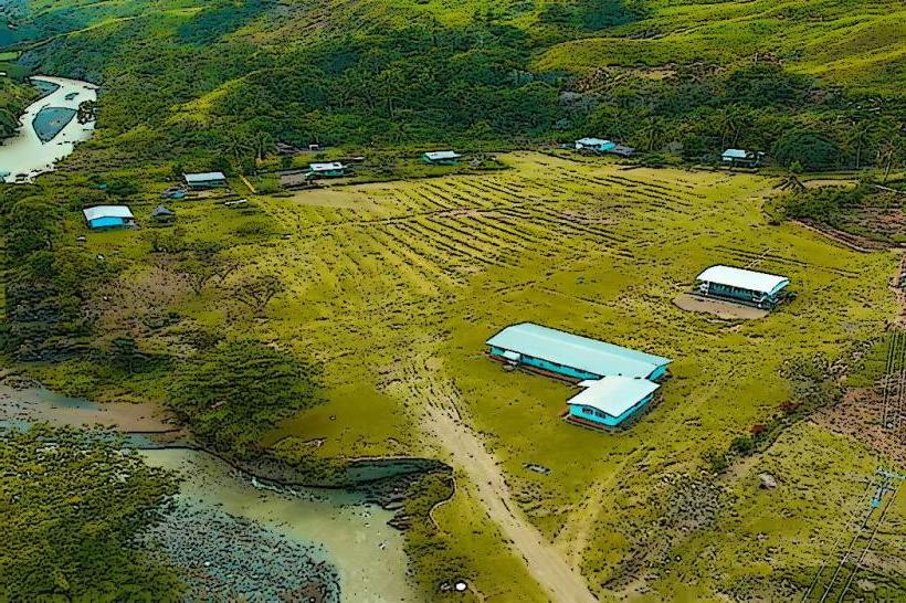
Kapiago is a village located in the Morobe Province of Papua New Guinea. It serves as a point of access to the surrounding rainforest and river systems.
Visual Characteristics
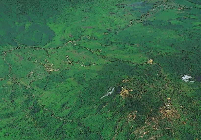
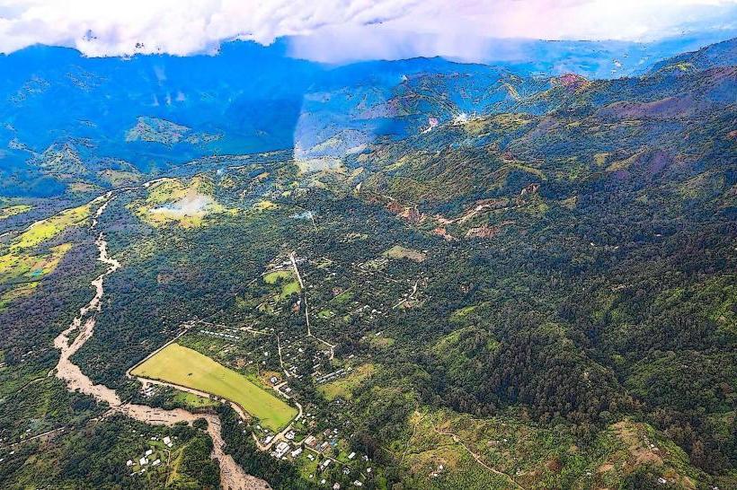
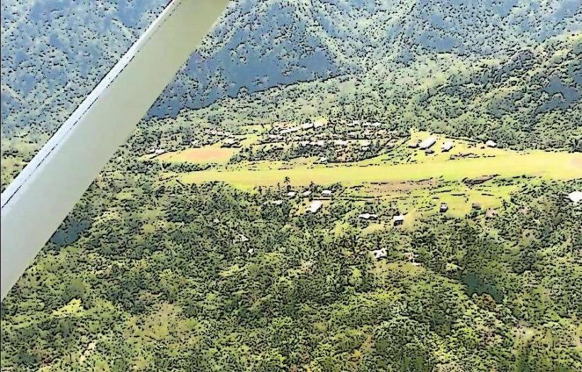
The village itself consists of traditional Melanesian structures, primarily constructed from local timber and sago palm thatch. Dwellings are typically elevated on stilts. The surrounding environment is characterized by dense tropical rainforest, with the Kapiago River flowing nearby, exhibiting a brown, sediment-laden appearance due to the soil composition of the region.
Location & Access Logistics
Kapiago is situated approximately 150 kilometers inland from the provincial capital, Lae. Access is primarily via river transport, utilizing motorized canoes or traditional outrigger boats on the Kapiago River. The journey from the nearest accessible roadhead, which is often a remote airstrip or a logging track, can take several hours depending on river conditions. There is no direct road access to Kapiago. Parking is not applicable as there are no roads. Public transport in the conventional sense is unavailable; travel is arranged locally through village guides or charter services.
Historical & Ecological Origin
Kapiago is an established indigenous settlement with a history tied to the traditional land use practices of the local ethnic groups. The area is part of the New Guinea rainforest biome, characterized by high biodiversity and a humid tropical climate. The Kapiago River is a tributary of a larger river system, contributing to the region's drainage and ecological processes.
Key Highlights & Activities
Activities include guided jungle treks through the rainforest to observe local flora and fauna. River excursions along the Kapiago River offer opportunities for fishing and observing village life. Cultural immersion with the local community is possible, involving learning about traditional customs and crafts.
Infrastructure & Amenities
Basic amenities are limited. Restrooms are typically rudimentary, often pit latrines. Shade is provided by the dense forest canopy and the roofs of traditional dwellings. Cell phone signal is generally absent or extremely weak. Food vendors are not present; meals are usually prepared by the local community or brought by visitors.
Best Time to Visit
The best time to visit is during the dry season, typically from June to September, when river levels are lower and trekking conditions are more favorable. The best time of day for photography is generally in the morning or late afternoon when the sunlight filters through the canopy, creating diffused light. High tide or low tide is not a significant factor for village access, but river conditions can vary.
Facts & Legends
A local belief states that the Kapiago River is inhabited by ancestral spirits who protect the surrounding forest. Visitors are advised to show respect for local customs and ask permission before taking photographs of individuals or sacred sites.
Nearby Landmarks
- Aitape (approx. 80km Northwest)
- Torricelli Range (approx. 60km North)
- Sepik River (approx. 100km East)