Information
Landmark: Watut RiverCity: Morobe
Country: Papua New Guinea
Continent: Australia
Watut River, Morobe, Papua New Guinea, Australia
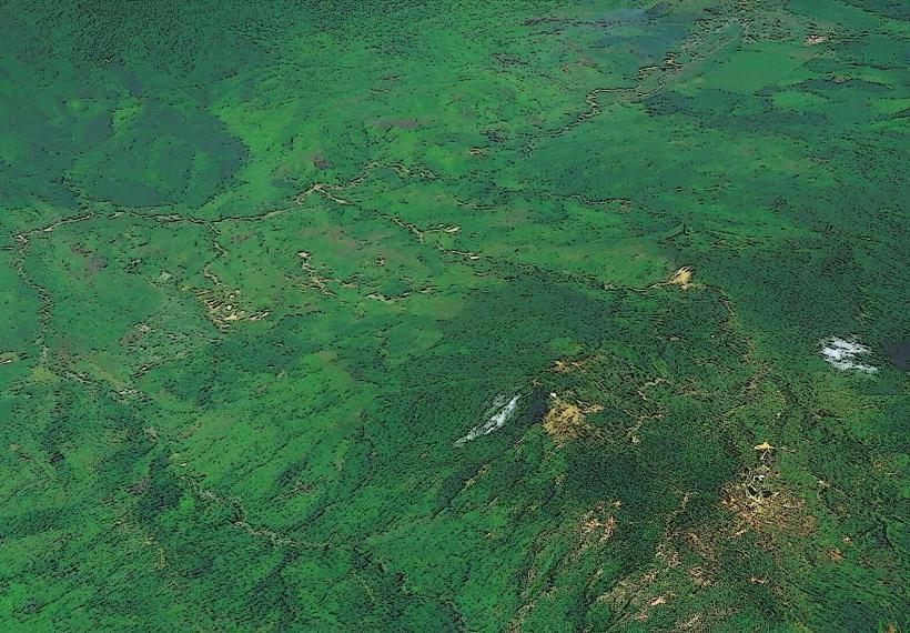
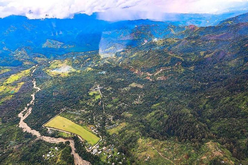
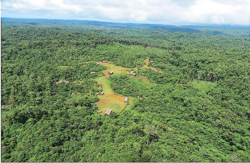
The Watut River is a significant waterway located in the Morobe Province of Papua New Guinea. It flows through a diverse landscape, impacting local ecosystems and communities.
Visual Characteristics
The river's water color varies from a muddy brown during periods of high rainfall to a clearer, greenish hue in drier seasons. The riverbanks are characterized by dense tropical rainforest vegetation, with steep inclines and occasional exposed rock faces. Sediment deposition creates sandbars and alluvial plains in wider sections of the river.
Location & Access Logistics
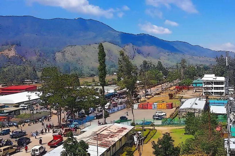
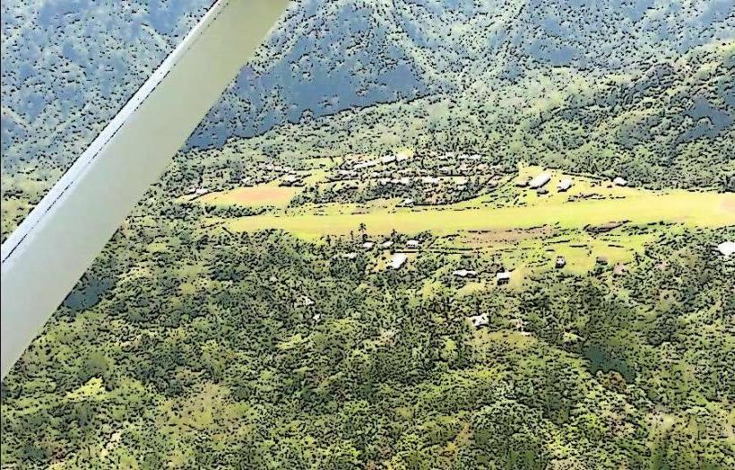
The Watut River originates in the Finisterre Range and flows generally southeast towards the Markham Valley. Access is primarily via the Highlands Highway (H1) which runs parallel to parts of the river. Specific access points are often unpaved tracks branching off the highway, requiring 4WD vehicles. The nearest major town is Lae, approximately 50km east of the lower Watut River. Public transport is limited to the Highlands Highway, with local transport often arranged through village contacts.
Historical & Ecological Origin
The Watut River is a natural fluvial system, shaped by the geological uplift of the Finisterre Range and the erosive forces of tropical rainfall. Its ecological origin is tied to the New Guinea rainforest biome, supporting a unique array of flora and fauna adapted to riparian environments. Historically, the river has served as a transportation route and a source of sustenance for indigenous communities.
Key Highlights & Activities
Activities are primarily centered around observing the river's natural environment. Birdwatching is possible along the riverbanks. Local guides may offer boat trips on calmer sections of the river, providing views of the surrounding rainforest. Fishing is a common local activity.
Infrastructure & Amenities
Infrastructure is minimal. There are no designated public restrooms or shade structures along most of the river. Cell phone signal is unreliable and often absent in remote sections. Food vendors are typically found in nearby villages or along the Highlands Highway, not directly at the river.
Best Time to Visit
The dry season, generally from May to September, offers more stable river conditions and clearer water. The best time of day for observing wildlife is early morning or late afternoon. High tide is not a relevant factor for this river system.
Facts & Legends
Local folklore often associates the Watut River with spirits and ancestral beings. A specific historical oddity is the river's role in transporting materials during early colonial exploration and resource extraction efforts in the region.
Nearby Landmarks
- Finisterre Range (15km Northwest)
- Markham Valley (20km Southeast)
- Huon Gulf (60km East)
- Lae City (50km East)