Information
Landmark: Fort Harrison State ParkCity: Indianapolis
Country: USA Indiana
Continent: North America
Fort Harrison State Park, Indianapolis, USA Indiana, North America
Fort Harrison State Park is a 1,700-acre state park located in Lawrence, Indiana, a suburb of Indianapolis.
Visual Characteristics
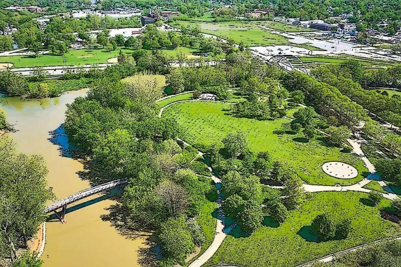
The park features rolling hills, woodlands, and the Fall Creek waterway. The terrain includes open fields, mature deciduous forests, and areas of dense undergrowth. The park's elevation varies, with some sections offering elevated views of the surrounding landscape. The primary water feature is Fall Creek, which flows through the park.
Location & Access Logistics
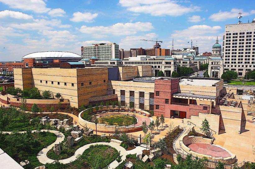
Fort Harrison State Park is situated approximately 10 miles northeast of downtown Indianapolis. Access is via North Post Road, which connects to Pendleton Pike (State Road 67). The park entrance is clearly marked. Ample parking is available at designated lots throughout the park, including near the nature center and the main recreational areas. Public transportation options to the park's vicinity are limited; the closest bus routes typically terminate several miles away, requiring a taxi or ride-share service for the final approach.
Historical & Ecological Origin
The land was formerly part of Fort Benjamin Harrison, a U.S. Army post established in 1903. The fort was deactivated in 1995, and the majority of the land was transferred to the state of Indiana for park use in 1996. Ecologically, the area represents a remnant of the central Indiana hardwood forest ecosystem, characterized by oak, hickory, and maple species.
Key Highlights & Activities
Activities include hiking on 10 miles of trails, including the 2.5-mile Harrison Trace Trail and the 1.5-mile Nature Center Loop. Fishing is permitted in Fall Creek. The park offers opportunities for birdwatching and nature photography. A public golf course, The Fort Golf Course, is located within the park boundaries.
Infrastructure & Amenities
Restrooms are available at the Nature Center and various picnic areas. Sheltered picnic areas are present. Cell phone signal (4G/5G) is generally available throughout most of the park, though reception may vary in denser wooded areas. No on-site food vendors are present within the park; visitors should plan to bring their own provisions or dine in nearby Lawrence or Indianapolis.
Best Time to Visit
For photography, early morning or late afternoon light provides optimal illumination of the landscape. The months of April through October offer the most favorable weather conditions for outdoor activities. Fall foliage viewing is at its peak in mid-to-late October. No specific tide requirements apply.
Facts & Legends
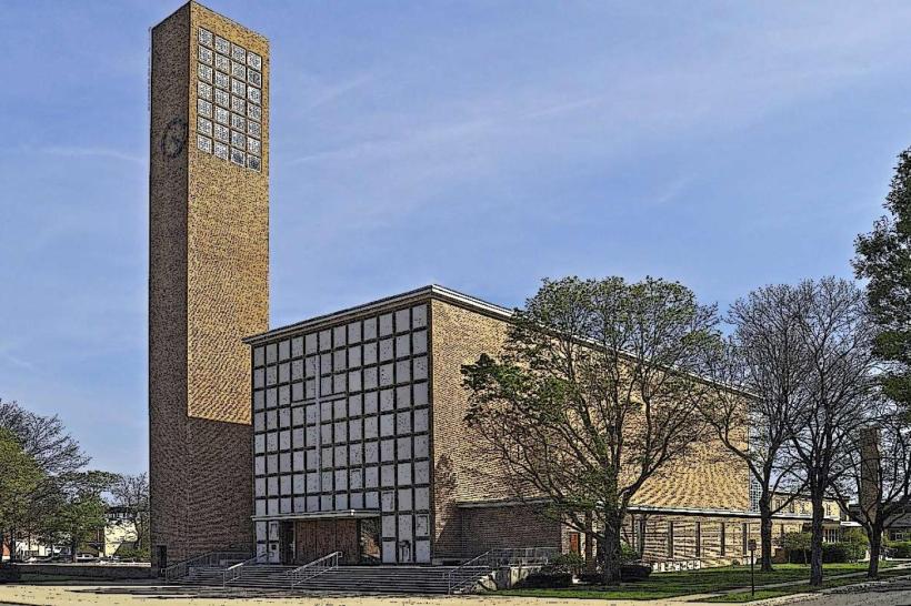
A notable historical artifact is the former Fort Benjamin Harrison Chapel, which remains on the grounds. Local lore sometimes references the presence of former military personnel's spirits, though these are anecdotal and unverified.
Nearby Landmarks
- 0.8km West: The Fort Golf Course
- 2.5km Southwest: Lawrence Community Park
- 4.0km Southeast: Fort Harrison Museum (located within the park)
- 5.0km Northeast: Geist Reservoir