Information
Landmark: Indianapolis Cultural TrailCity: Indianapolis
Country: USA Indiana
Continent: North America
Indianapolis Cultural Trail, Indianapolis, USA Indiana, North America
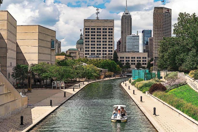
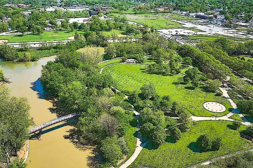
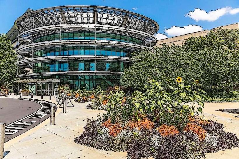
The Indianapolis Cultural Trail is a 8.1-mile urban multi-use path connecting six cultural districts in Indianapolis, Indiana. It is designed for pedestrians and cyclists.
Visual Characteristics
The trail is primarily paved with asphalt and concrete, varying in width from 10 to 16 feet. Sections are bordered by landscaping, including trees, shrubs, and perennial gardens. Integrated public art installations are present along its length. Street lighting is installed for visibility during evening hours.
Location & Access Logistics
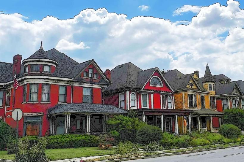
The trail originates near the Indiana State Museum at 650 W Washington St and extends eastward, looping through downtown Indianapolis. Access points are numerous, with designated entry and exit points at major intersections and park entrances. Bicycle rental stations are located at multiple points along the trail. Parking is available in various downtown garages and surface lots, with rates varying by location. Public transport bus routes intersect the trail at numerous points, providing connections to other parts of the city.
Historical & Ecological Origin
The Indianapolis Cultural Trail was conceived and developed by the Indianapolis Cultural Trail, Inc., a non-profit organization. Construction began in 2007 and was completed in 2013. The project repurposed existing urban corridors and rights-of-way, integrating them into a cohesive network.
Key Highlights & Activities
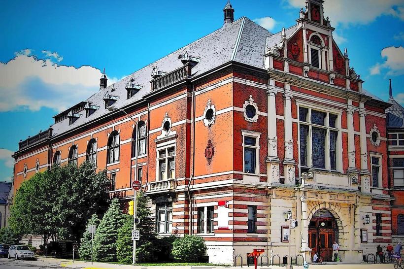
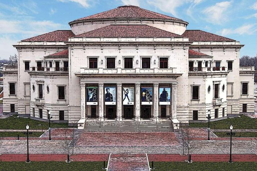
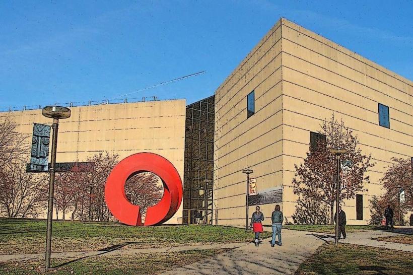
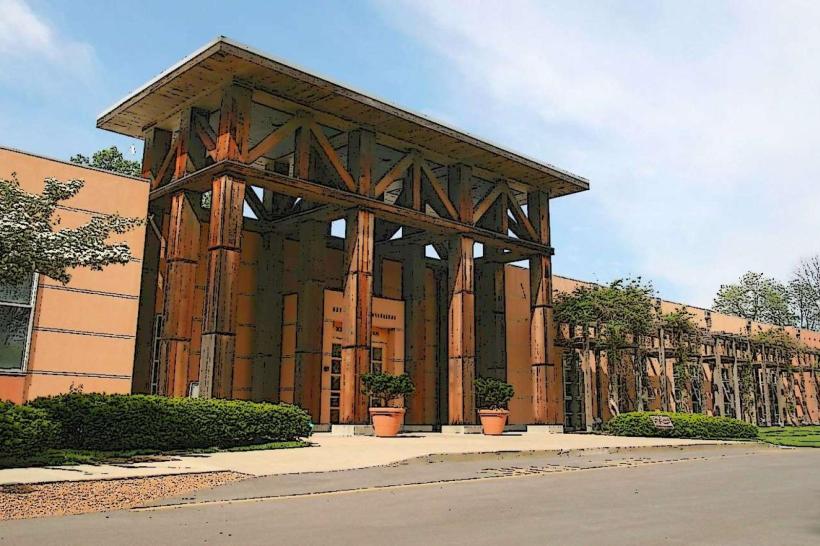
Cycling, walking, and running are the primary activities. The trail passes by the Indianapolis Museum of Art, the Indiana State Museum, the Eiteljorg Museum of American Indians and Native Americans, and the NCAA Hall of Champions. Specific sections are designated for public art viewing. The trail connects to the White River Trail.
Infrastructure & Amenities
Restrooms are available at various points, particularly within connected parks and cultural institutions. Benches and seating areas are provided along the route. Cell phone signal (4G/5G) is generally strong throughout the urban corridor. Food vendors and restaurants are accessible at points where the trail intersects commercial areas.
Best Time to Visit
Daylight hours are recommended for optimal visibility and safety. Spring (April-May) and Fall (September-October) offer moderate temperatures. Summer months (June-August) can be hot, requiring hydration. Early morning and late afternoon provide softer lighting for photography.
Facts & Legends
The trail is recognized as one of the nation's premier urban multi-use paths, having received numerous awards for its design and impact. A unique feature is the integration of storm water management systems, such as bioswales, along sections of the path.
Nearby Landmarks
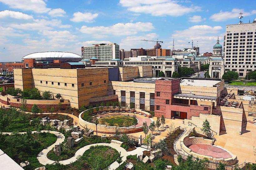
- Indiana State Museum (0.1km West)
- White River State Park (0.2km Southwest)
- Eiteljorg Museum of American Indians and Native Americans (0.3km West)
- Lucas Oil Stadium (1.2km South)
- Rhythm! Discovery Center (0.5km Northeast)