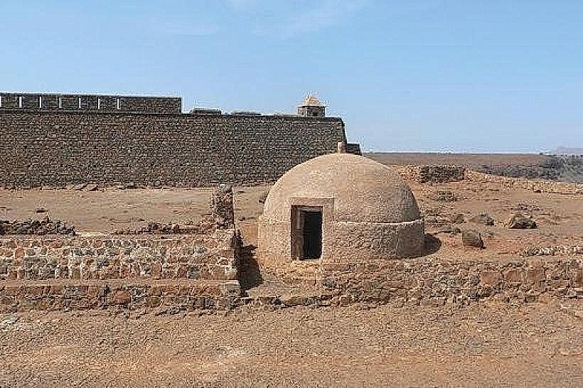
Landmark: Fortaleza de São Filipe
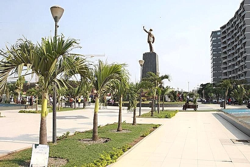
City: Benguela
Country: Angola
Continent: Africa
Fortaleza de São Filipe, Benguela, Angola, Africa
Fortaleza de São Filipe is a historic fortification situated in the city of Benguela, Angola.
This structure served as a defensive outpost and administrative center during the Portuguese colonial era.
Visual Characteristics
The fortress is constructed primarily from stone, with walls approximately 10 meters high. Its architectural style is military Baroque, characterized by robust bastions and a central courtyard. The exterior walls are a weathered grey stone, with some sections showing signs of later repairs using lighter colored mortar. The main entrance features a heavy wooden gate reinforced with iron.
Location & Access Logistics
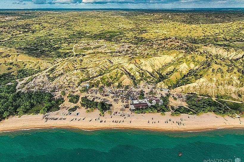
Fortaleza de São Filipe is located on a hill overlooking the city of Benguela. It is approximately 2 kilometers from the city center. Access is via Estrada Nacional 100 (EN100), turning onto Rua da Fortaleza. Parking is available within the fortress grounds, with capacity for approximately 20 vehicles. Public transport options include local taxis that can be hired from the city center; there are no direct bus routes to the fortress.
Historical & Ecological Origin
Construction of Fortaleza de São Filipe began in 1611 and was completed in 1620. It was designed by Portuguese military engineers to protect the port of Benguela from naval attacks and piracy. The site was chosen for its strategic elevated position offering clear lines of sight over the coastline and surrounding terrain.
Key Highlights & Activities
Visitors can walk along the ramparts for panoramic views of Benguela and the Atlantic Ocean. Exploration of the internal courtyards and former barracks is permitted. Informational plaques detail the fortress's history and role. Photography is allowed throughout the site.
Infrastructure & Amenities
Restrooms are available near the main entrance. Limited shade is provided by the fortress walls and a few trees in the courtyard. Cell phone signal (4G) is generally available within the fortress. There are no on-site food vendors, but several restaurants and cafes are located within a 1km radius in the city center.
Best Time to Visit
The best time of day for photography is late afternoon, between 15:00 and 17:00, when the sun is lower and casts longer shadows, highlighting the stone textures. The dry season, from May to October, offers the most pleasant weather with lower humidity and minimal rainfall. There are no tidal considerations for visiting the fortress.
Facts & Legends
A local anecdote suggests that during sieges, the fortress's cannons were loaded with stones from the nearby riverbed to conserve ammunition. While unverified, this highlights the resourcefulness attributed to its defenders.
Nearby Landmarks
- Museu Nacional de Arqueologia (0.8km Southwest)
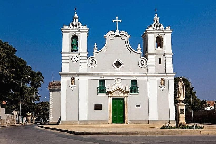
- Igreja da Nossa Senhora da Pópulo (1.2km West)
- Mercado Municipal de Benguela (1.5km West)
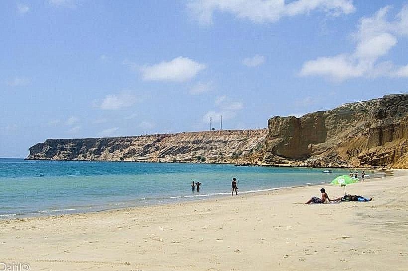
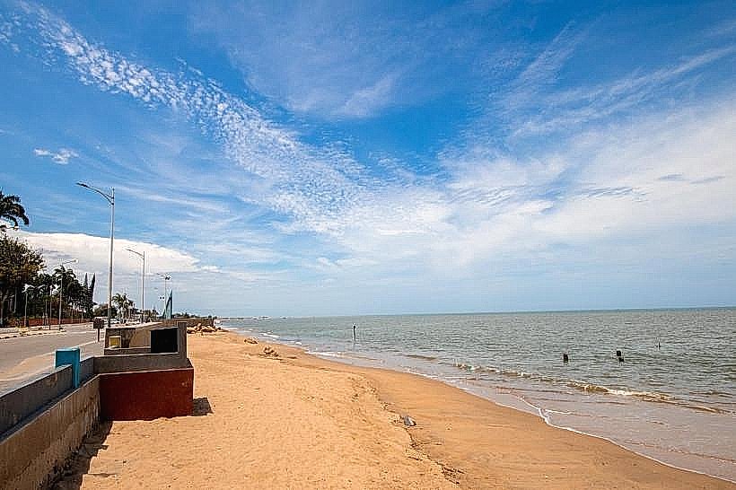
- Praia da Baía Azul (3.5km South)