Landmark: Gorges du Ziz
City: Errachidia
Country: Morocco
Continent: Africa
Gorges du Ziz, Errachidia, Morocco, Africa
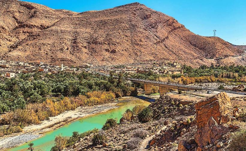
The Gorges du Ziz is a canyon system located in the Errachidia province of Morocco. It is carved by the Ziz River and extends for approximately 100 kilometers.
Visual Characteristics
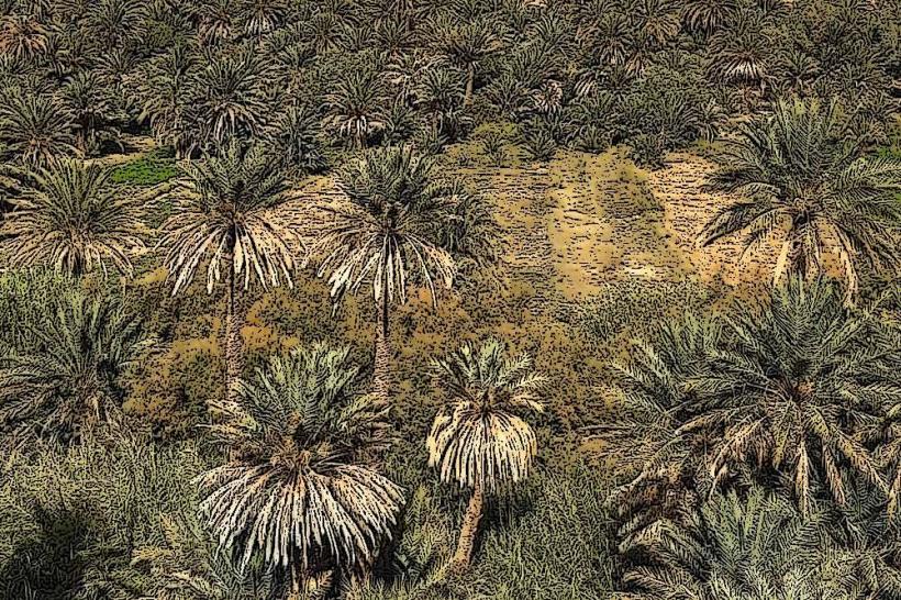
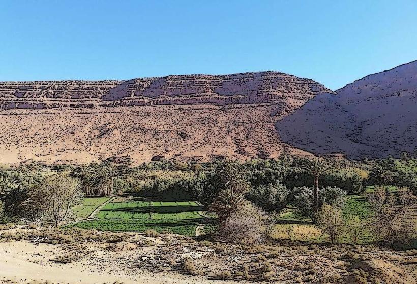
The canyon walls are composed of red sandstone and limestone, reaching heights of up to 300 meters. The river at the base varies in width and depth, with sections of clear, flowing water interspersed with rocky outcrops. Vegetation is sparse, primarily consisting of date palms and hardy shrubs along the riverbanks and on the plateau above.
Location & Access Logistics
The Gorges du Ziz are situated approximately 50 kilometers southwest of Errachidia. Access is primarily via the N13 national road, which runs along the eastern rim of the gorge. Parking is available at designated viewpoints along the N13. Public transport options are limited; shared taxis (grands taxis) operate between Errachidia and towns further south, with potential stops at viewpoints. No specific bus lines serve the gorge directly.
Historical & Ecological Origin
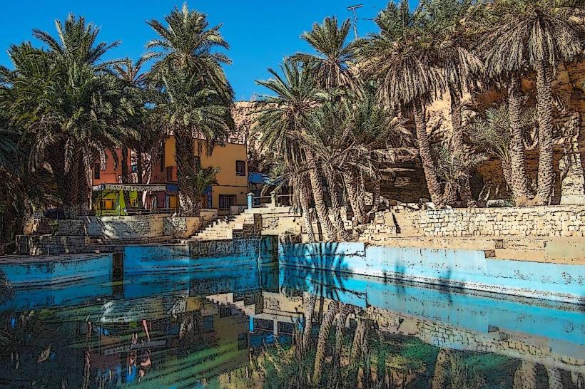
The Gorges du Ziz are a result of long-term erosion by the Ziz River, a process that has shaped the landscape over millennia. The geological formations are primarily sedimentary rocks, indicative of ancient marine environments. The river itself is a vital water source for the surrounding arid region, supporting oases and agricultural activity.
Key Highlights & Activities
Observation of the canyon's scale from roadside viewpoints. Photography of the rock formations and river. Hiking is possible on informal trails along the riverbed, requiring local guidance and appropriate footwear. Visiting the Hassan Addakhil Dam, located at the southern end of the gorge.
Infrastructure & Amenities
Restrooms are available at some larger viewpoints and near the Hassan Addakhil Dam. Shade is minimal within the gorge itself, but some viewpoints offer covered seating. Cell phone signal (4G) is generally available along the N13 but can be intermittent within the deeper sections of the gorge. Food vendors are present at select viewpoints, offering local snacks and beverages.
Best Time to Visit
For photography, early morning and late afternoon provide optimal lighting conditions for the rock faces. The best months for visiting are generally from October to April, avoiding the extreme summer heat. Water levels in the Ziz River are typically lower during the dry season.
Facts & Legends
The Ziz River is one of Morocco's longest rivers, originating in the Middle Atlas Mountains and flowing towards the Sahara Desert. A specific point of interest is the "Tunnel des Légionnaires," a short tunnel carved through the rock by French Foreign Legionnaires in the early 20th century, offering a unique perspective into the gorge.
Nearby Landmarks
- Hassan Addakhil Dam (0.5km South)
- Ksour of the Ziz Valley (15km Southwest)
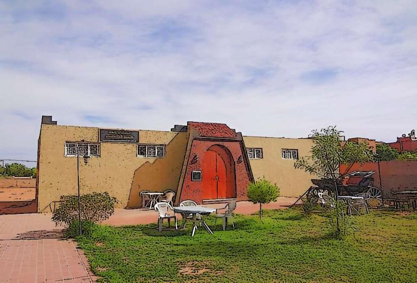
- Errachidia City Center (50km Northeast)
- Aït Ouaouzguit Kasbah (25km Southwest)