Landmark: Gorongosa National Park
City: Beira
Country: Mozambique
Continent: Africa
Gorongosa National Park, Beira, Mozambique, Africa
Gorongosa National Park is a protected area located in central Mozambique, south of the Zambezi River. It encompasses a diverse range of ecosystems, from the Cheringoma Plateau to the floodplains of the Pungue and Mussicazi rivers.
Visual Characteristics
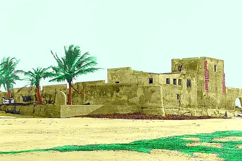
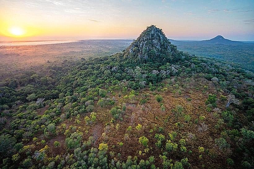
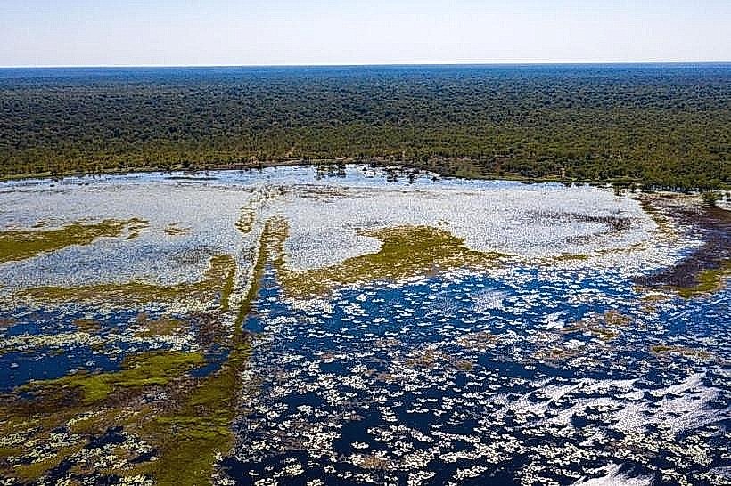
The park features a mosaic of habitats including miombo woodland, savanna grasslands, evergreen forests, and wetlands. The Cheringoma Plateau is characterized by limestone formations and sinkholes. The lower-lying areas are dominated by open grasslands interspersed with acacia and palm trees. The Pungue River forms a significant floodplain system within the park.
Location & Access Logistics
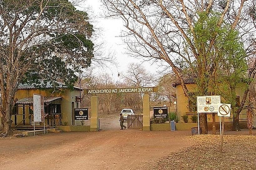
Gorongosa National Park is situated approximately 140 kilometers southwest of the city of Beira. Access is primarily via the EN1 national road, turning onto the park's access road. The park has a main entrance gate and a central administrative area. Limited public transport options exist directly to the park; private vehicle hire or organized tours from Beira are the most common methods of access. There is a landing strip within the park for chartered flights.
Historical & Ecological Origin
Gorongosa was established as a game reserve in 1920 and later designated a National Park in 1960. Its ecological significance lies in its position at the confluence of several major African ecosystems. The park's geological history includes the formation of the Cheringoma Plateau through karst processes. The area has historically supported large populations of wildlife, which were significantly impacted by civil conflict in the late 20th century.
Key Highlights & Activities
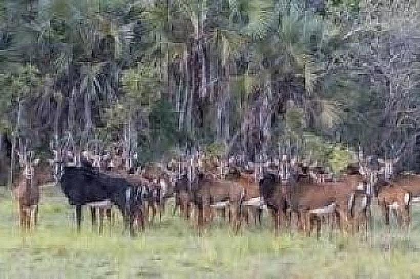
Activities include game drives on designated tracks, particularly in the central plains and around the Pungue River. Birdwatching is a significant draw, with over 500 recorded species. Guided walking safaris are available in specific zones. Visitors can observe wildlife such as elephants, lions, hippos, and various antelope species. Boat trips are offered on Lake Urema during the wet season.
Infrastructure & Amenities
The park offers several lodges and tented camps for accommodation. Restrooms are available at the main reception area and within accommodation facilities. Shade is provided by trees in natural areas and by structures at designated rest points. Cell phone signal (4G/5G) is generally available in the vicinity of the main administrative center and lodges, but can be intermittent in remote areas. Limited food and beverage services are available at the park's lodges and restaurant.
Best Time to Visit
The dry season, from May to October, is generally considered the best time for wildlife viewing as animals congregate around water sources. The period from September to October offers the hottest temperatures. The wet season, from November to April, sees lush vegetation and is ideal for birdwatching. High tide is not a specific requirement for park access or most activities.
Facts & Legends
A notable historical event was the significant decline of wildlife populations during Mozambique's civil war (1977-1992), followed by extensive conservation efforts and reintroduction programs that have led to a notable recovery. A specific tip for visitors is to be aware of the seasonal changes in road accessibility, particularly for tracks leading to more remote areas during the rainy season.
Nearby Landmarks
- Marromeu National Reserve (100km Northwest)
- Cheringoma Plateau (15km West)
- Pungue River (within park boundaries)
- Mussicazi Lake (within park boundaries)