Landmark: Marromeu National Reserve
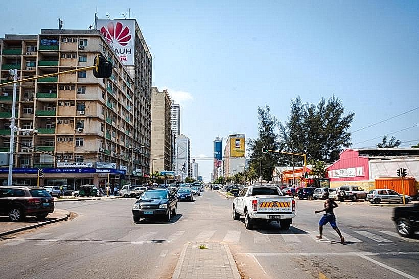
City: Beira
Country: Mozambique
Continent: Africa
Marromeu National Reserve, Beira, Mozambique, Africa
Marromeu National Reserve is a protected area located in the Sofala Province of Mozambique, west of the city of Beira.
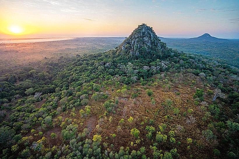
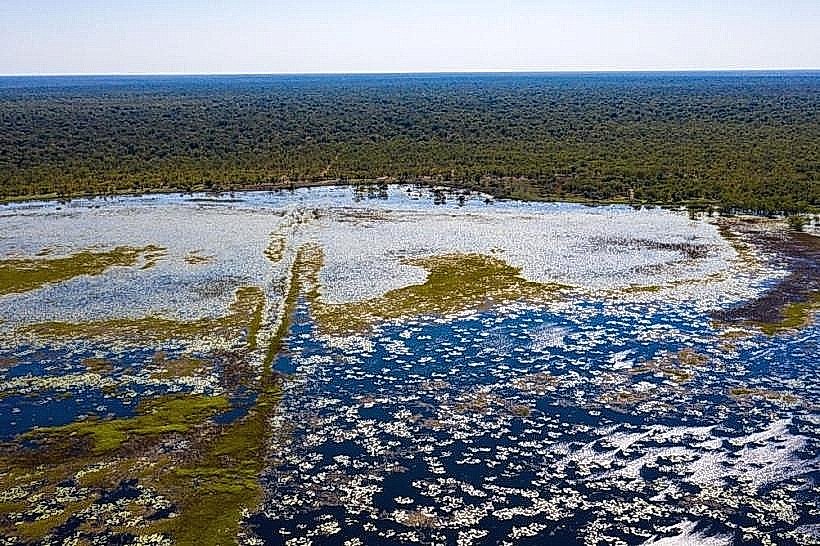
This reserve encompasses a significant portion of the Zambezi River Delta, characterized by extensive floodplains, mangrove forests, and savanna ecosystems.
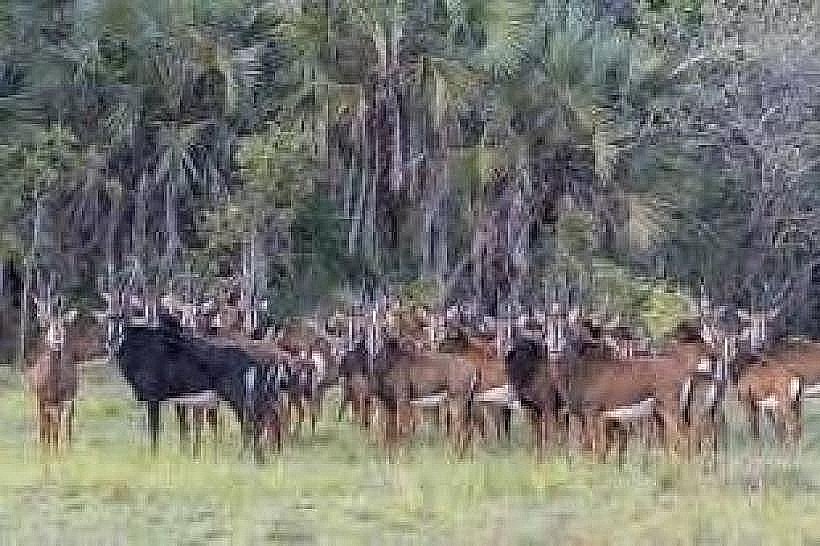
Visual Characteristics
The landscape is dominated by vast expanses of grassland, interspersed with dense stands of acacia and mopane trees. The Zambezi River and its numerous channels are prominent features, with water color varying from muddy brown to a clearer green depending on rainfall and sediment load. Mangrove forests line the delta's edges, creating a distinct coastal vegetation zone. During the wet season, large areas become inundated, forming shallow lakes and marshes.
Location & Access Logistics
Marromeu National Reserve is situated approximately 150 kilometers west of Beira. Access is primarily via the EN1 national road, turning off towards Marromeu town. From Marromeu town, unpaved tracks lead into the reserve. Vehicle suitability is critical; a 4x4 vehicle is strongly recommended due to sandy and muddy conditions, especially during and after the rainy season. There is no public transport directly serving the reserve. Limited parking is available at designated entry points or lodges within or adjacent to the reserve.
Historical & Ecological Origin
The Marromeu area has a long history of human settlement and resource utilization, particularly related to fishing and agriculture along the Zambezi. The reserve itself was established to protect the unique delta ecosystem and its diverse wildlife populations, which are crucial for the ecological health of the region. Its ecological origin is a classic river delta formation, shaped by the deposition of sediment from the Zambezi River over millennia, creating a complex network of waterways and fertile floodplains.
Key Highlights & Activities
Game drives are the primary activity, offering opportunities to observe wildlife such as elephants, hippos, crocodiles, buffalo, and a variety of antelope species. Birdwatching is exceptional, with numerous resident and migratory species present. Boat safaris on the Zambezi River and its tributaries provide a different perspective for wildlife viewing and exploring the mangrove ecosystems. Walking safaris are also offered in certain areas under guide supervision.
Infrastructure & Amenities
Within the reserve, infrastructure is minimal. Some lodges and camps offer basic amenities including accommodation, meals, and guided activities. Restrooms are typically available at these lodges. Shade is provided by natural tree cover in some areas and by safari vehicles. Cell phone signal is generally unreliable within the reserve, with intermittent connectivity possible near the main access points or lodges. Food vendors are not present within the reserve; meals are usually provided by accommodation facilities.
Best Time to Visit
The dry season, from May to October, is generally considered the best time to visit. During this period, water levels recede, concentrating wildlife around remaining water sources and making game viewing more predictable. The landscape is also drier, improving road conditions. For birdwatching, the period from November to April, coinciding with the wet season, can be highly rewarding due to the presence of migratory birds and abundant water. There are no specific tidal requirements for visiting the reserve itself, though river levels fluctuate seasonally.
Facts & Legends
The Marromeu area is known for its significant elephant population, which historically migrated across the Zambezi River. A unique tip for visitors is to be aware of the seasonal flooding patterns; roads can become impassable for extended periods, requiring careful planning and consultation with local guides or lodges regarding current conditions.
Nearby Landmarks
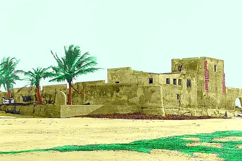
- Sofala Fort (0.8km East)
- Chiloane Island (15km South-East)
- Bazaruto Archipelago National Park (45km South-East, across the bay)
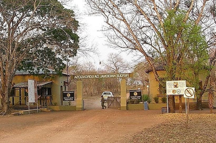
- Gorongosa National Park (120km North-West)