Landmark: Governor Nelson State Park
City: Madison WI
Country: USA Wisconsin
Continent: North America
Governor Nelson State Park, Madison WI, USA Wisconsin, North America
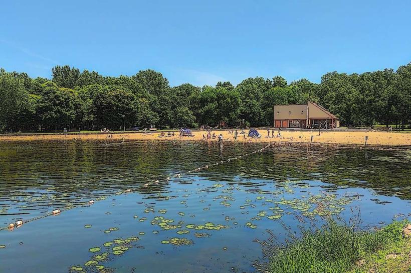
Governor Nelson State Park is a public recreation area situated on the north shore of Lake Mendota in Madison, Wisconsin, USA.
Visual Characteristics
The park features approximately 4,200 feet of shoreline along Lake Mendota, characterized by a mix of sandy beaches and rocky areas. Inland, the terrain consists of rolling hills, mature oak forests, and open meadows. The park's elevation ranges from approximately 850 feet at the lake shore to over 900 feet on the higher ridges.
Location & Access Logistics
Governor Nelson State Park is located 10 miles north of downtown Madison, Wisconsin. Access is via County Highway M (Northport Drive). From downtown Madison, take Northport Drive north for approximately 8 miles. The park entrance is clearly marked on the west side of County Highway M. Parking is available in designated lots throughout the park, with capacity for approximately 200 vehicles. Public transportation options are limited; however, Madison Metro Transit routes may service areas near the park's perimeter, requiring a significant walk to the entrance.
Historical & Ecological Origin
The land was acquired by the state in 1966 and established as a state park in 1971. Prior to state ownership, the area was primarily agricultural land and private woodland. Ecologically, the park is situated within the Southern Wisconsin Glacial Plain, characterized by fertile loess soils and a mosaic of forest and prairie habitats. The lake itself, Lake Mendota, is a remnant of glacial activity.
Key Highlights & Activities
Activities include swimming at the designated beach area, fishing from the shore or piers, boating (launch available), kayaking, and paddleboarding. Hiking trails include the 1.5-mile Lakeshore Trail and the 2.5-mile Woodland Trail. Birdwatching is a common activity due to the diverse habitats. Picnicking is permitted at designated sites with grills and tables.
Infrastructure & Amenities
Restrooms are available at the main beach area and near the picnic grounds. Sheltered picnic areas are present. Shade is provided by mature trees in forested sections and at picnic sites. Cell phone signal (4G/5G) is generally available throughout the park, though it may be weaker in heavily wooded areas. No food vendors are located within the park; however, convenience stores and restaurants are accessible within a 3-mile drive on County Highway M.
Best Time to Visit
For swimming and beach activities, the optimal months are June through August. For photography, early morning and late afternoon offer favorable lighting conditions, particularly for capturing the lake's surface. Hiking conditions are best in spring (April-May) and fall (September-October) to avoid summer heat and insect activity. Lake Mendota water levels are generally stable, with no specific tide requirements for access.
Facts & Legends
A notable historical feature is the presence of remnants of an old stone foundation, believed to be from a former farmstead predating the park's establishment. Local lore sometimes refers to the lake's depth and the potential for submerged historical artifacts, though these remain unverified.
Nearby Landmarks
- Pheasant Branch Conservancy (1.5km West)
- Cherokee Marsh Conservation Park (3.0km Southwest)
- Lake Mendota (Adjacent)
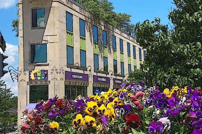
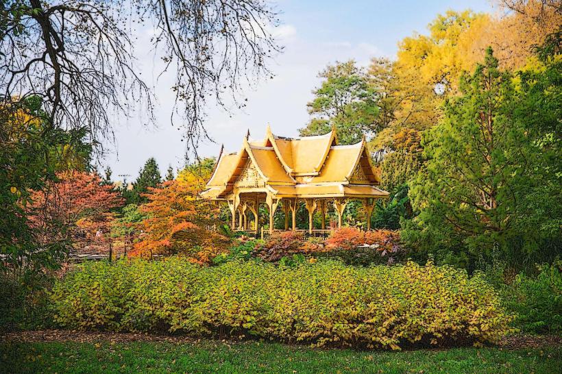
- Olbrich Botanical Gardens (8.0km Southeast)
- University of Wisconsin-Madison Arboretum (9.0km South)