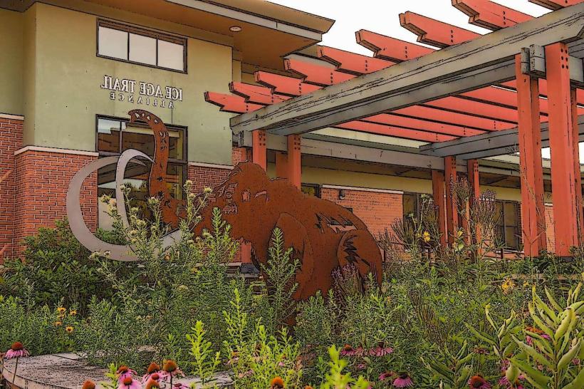
Landmark: Ice Age National Scenic Trail
City: Madison WI
Country: USA Wisconsin
Continent: North America
Ice Age National Scenic Trail, Madison WI, USA Wisconsin, North America
The Ice Age National Scenic Trail is a 1,200-mile footpath tracing the path of the last continental glacier across Wisconsin. It is managed by the National Park Service and the Wisconsin Department of Natural Resources.
Visual Characteristics
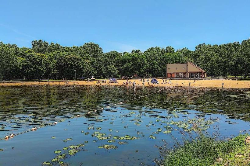
The trail traverses diverse Wisconsin landscapes including forests, prairies, wetlands, and agricultural lands. It features varied terrain from flat, sandy paths to steep, rocky ascents and descents, often following glacial moraines, eskers, and kettle lakes. Trail markers are typically blue blazes on trees or posts.
Location & Access Logistics
The Ice Age Trail is not a single point but a network of segments across Wisconsin. Access points are numerous. For the Madison, WI area, key segments include the Capital Springs Recreation Area (south of Madison, accessible via County Highway MM) and the Mendota State Forest (west of Madison, accessible via County Highway K). Parking is available at designated trailheads for most segments. Public transport options are limited to reaching the general vicinity of some access points; specific trail segments are best accessed by private vehicle.
Historical & Ecological Origin
The trail's route is defined by the geological features left by the Laurentide Ice Sheet during the last glacial period, approximately 15,000 years ago. The trail was authorized by Congress in 1980 to preserve and interpret these glacial landforms and the associated natural and cultural resources.
Key Highlights & Activities
Hiking is the primary activity. Specific segments offer opportunities for backpacking, trail running, and snowshoeing in winter. Notable features along the trail include glacial erratics, moraines, outwash plains, and kettle holes. Birdwatching and wildlife observation are also common.
Infrastructure & Amenities
Amenities vary significantly by segment. Some developed trailheads may have restrooms and picnic tables. Backcountry camping is permitted in designated areas along longer segments, often requiring permits. Cell phone signal strength is inconsistent and generally poor in remote sections.
Best Time to Visit
The best time for hiking is from late spring (May) through early fall (October), when temperatures are moderate and vegetation is accessible. Summer can be hot and humid, with increased insect activity. Fall offers distinct foliage colors. For snowshoeing, winter months (December-March) are suitable, dependent on snow cover.
Facts & Legends
One unique aspect of the trail is its "carry-in, carry-out" policy, emphasizing minimal impact. A specific tip for visitors near Madison is to explore the segments around the Kettle Moraine State Forest – Southern Unit, which showcases exceptionally well-preserved glacial topography.
Nearby Landmarks
- State Capitol Building (Madison, WI) - 10km Northeast
- Olbrich Botanical Gardens (Madison, WI) - 8km East
- University of Wisconsin-Madison Arboretum (Madison, WI) - 7km East
- Devil's Lake State Park (Baraboo, WI) - 50km North