Landmark: Gunung Mulu National Park
City: Miri
Country: Malaysia
Continent: Asia
Gunung Mulu National Park, Miri, Malaysia, Asia
Gunung Mulu National Park is a UNESCO World Heritage Site located in Sarawak, Borneo, Malaysia, accessible from the city of Miri.
Visual Characteristics
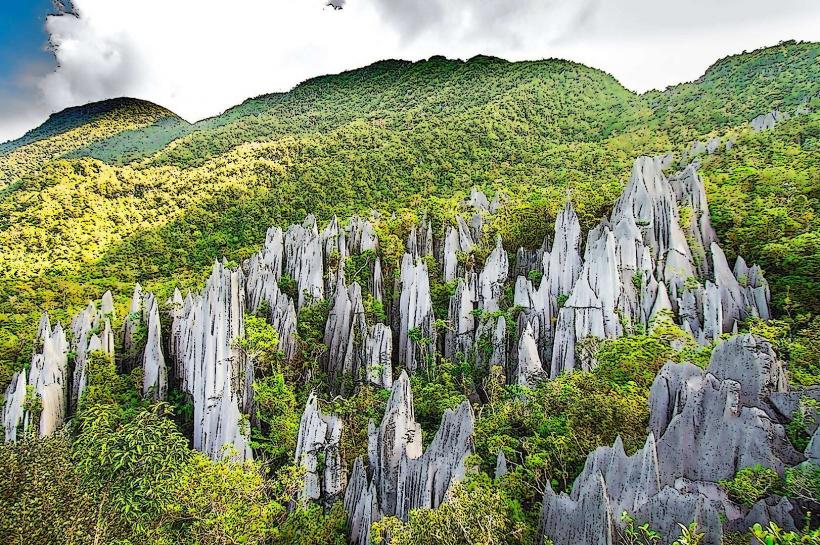
The park encompasses a karst landscape with limestone formations, including Mount Mulu, which reaches 2,377 meters. The terrain features dense tropical rainforest, extensive cave systems, and the Melinau River. Vegetation includes dipterocarp forests and montane forests at higher elevations.
Location & Access Logistics
The park is situated approximately 100 kilometers north of Miri. Access is primarily via Mulu Airport (MZV), served by daily flights from Miri, Kuching, and Kota Kinabalu. From Mulu village, longboat transfers are required to reach the park headquarters, a journey of approximately 30 minutes. Limited road access exists for local transport within the immediate vicinity of the airport and village.
Historical & Ecological Origin
The limestone formations in Gunung Mulu National Park are estimated to be over 40 million years old, formed from marine sediments. The park was gazetted in 1974 to protect its unique geological features and biodiversity. It is renowned for its extensive cave systems, including Sarawak Chamber, the world's largest known cave chamber by area.
Key Highlights & Activities
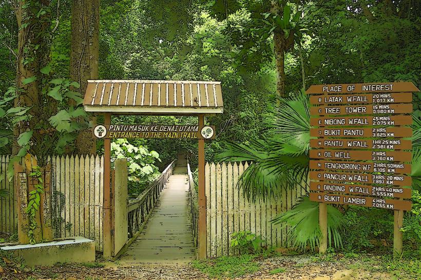
Activities include guided tours of the major caves: Deer Cave, Langs Cave, Clearwater Cave, and Wind Cave. The Pinnacles Trail offers a challenging hike to view limestone karst spires. The Bat Exodus, occurring at dusk, involves observing millions of bats emerge from Deer Cave. Canopy walks provide elevated forest views. River trips on the Melinau River are also available.
Infrastructure & Amenities
Park headquarters provides accommodation options, including dormitories and private rooms. Restrooms are available at the park headquarters and at key cave entrances. Food stalls and a small shop are located near the park headquarters. Cell phone signal is intermittent and generally unavailable within the deeper forest or caves.
Best Time to Visit
The dry season, from March to October, is generally preferred for outdoor activities and hiking. The wet season, from November to February, can lead to higher river levels and increased rainfall, potentially impacting trail conditions. The Bat Exodus is most active during the drier months. Cave temperatures remain constant year-round.
Facts & Legends
The park is home to over 295 kilometers of mapped caves, with an estimated 200 kilometers yet to be explored. A unique tip for visitors is to bring a headlamp in addition to any provided lighting on tours, as it allows for more independent observation within the caves.
Nearby Landmarks
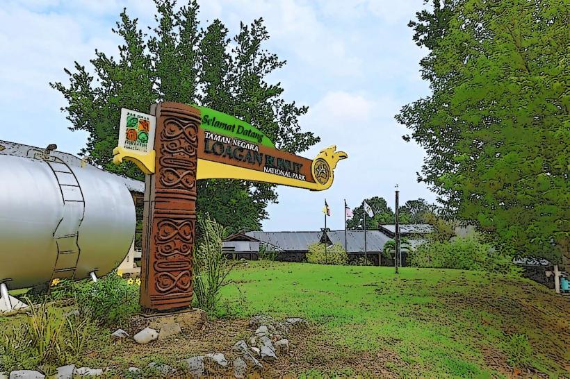
- Loagan Bunut National Park: 40km Southwest
- Niah National Park: 60km Southwest
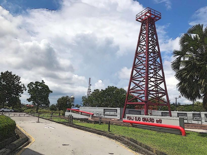
- Lambir Hills National Park: 85km Southwest
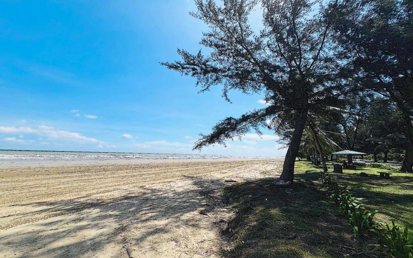
- Tanjung Lobang Beach (Miri): 100km Southwest