Landmark: Lambir Hills National Park
City: Miri
Country: Malaysia
Continent: Asia
Lambir Hills National Park, Miri, Malaysia, Asia
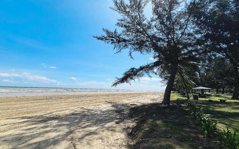
Lambir Hills National Park is a protected area located approximately 30 kilometers south of Miri, Sarawak, Malaysia.
Visual Characteristics
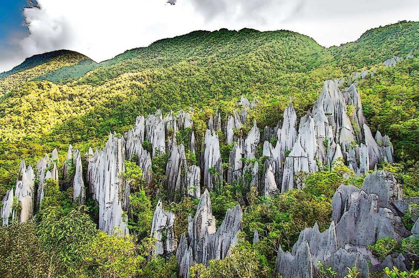
The park features a diverse landscape dominated by tropical rainforest. Elevation ranges from 150 to 450 meters above sea level. The terrain is characterized by steep ridges and deep valleys, with numerous streams and waterfalls cutting through the dense vegetation. Tree canopy cover is extensive, with species including Dipterocarps. The forest floor is covered in leaf litter and exposed root systems.
Location & Access Logistics
Access to Lambir Hills National Park is via the Pan Borneo Highway (Federal Route 1). The park entrance is located approximately 30 kilometers from Miri city center. Driving time is typically 30-40 minutes. Ample parking is available at the park headquarters. Public transport options are limited; however, local buses operating along the Pan Borneo Highway towards Bintulu may stop near the park entrance, requiring a short walk to the main gate.
Historical & Ecological Origin
Lambir Hills National Park was established in 1975. Ecologically, it is classified as a lowland dipterocarp forest, renowned for its high biodiversity. The area is geologically composed of sandstone and shale formations, contributing to its varied topography and numerous watercourses.
Key Highlights & Activities
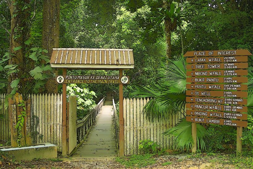
Activities include hiking on marked trails of varying difficulty. The Latak Waterfall trail is a 1.5km loop to a popular waterfall with a swimming area. The Mulu trail is a more challenging 8km loop. Observation of flora and fauna, including various bird species and insects, is possible. The park headquarters offers interpretive displays on the local ecosystem.
Infrastructure & Amenities
Restrooms are available at the park headquarters. Designated picnic areas with basic shelters are present. Limited shade is available along some trails. Cell phone signal (4G) is intermittent within the park, particularly in deeper forest areas. Food vendors are not present within the park; visitors should bring their own provisions.
Best Time to Visit
The best time for visiting is during the dry season, generally from March to October, to minimize rainfall impact on trails. Early morning hours (07:00-10:00) offer optimal lighting for observing wildlife and for photography. No specific tide requirements apply.
Facts & Legends
Lambir Hills is recognized as one of the most biodiverse terrestrial ecosystems in the world, with an exceptionally high number of tree species recorded in a small area. A local belief suggests that certain ancient trees within the park possess spiritual significance.
Nearby Landmarks
- Taman Awam Miri (Miri Public Park) - 28km Northwest
- Taman Negara Bukit Lambir (adjacent to the national park) - 1km North
- Miri City Fan Recreational Park - 30km Northwest
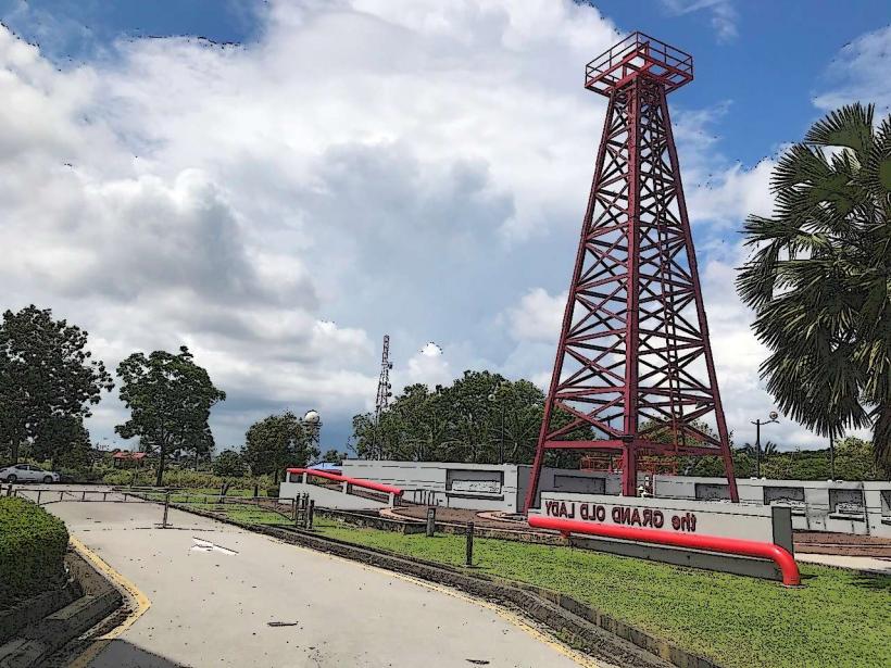
- Grand Old Lady and Oil Discovery Centre - 32km Northwest