Landmark: Hillsborough Dam
City: Scarborough
Country: Trinidad and Tobago
Continent: North America
Hillsborough Dam, Scarborough, Trinidad and Tobago, North America
The Hillsborough Dam is a water reservoir located in the northern part of Tobago, an island within Trinidad and Tobago. It serves as the primary source of potable water for the island.
Visual Characteristics
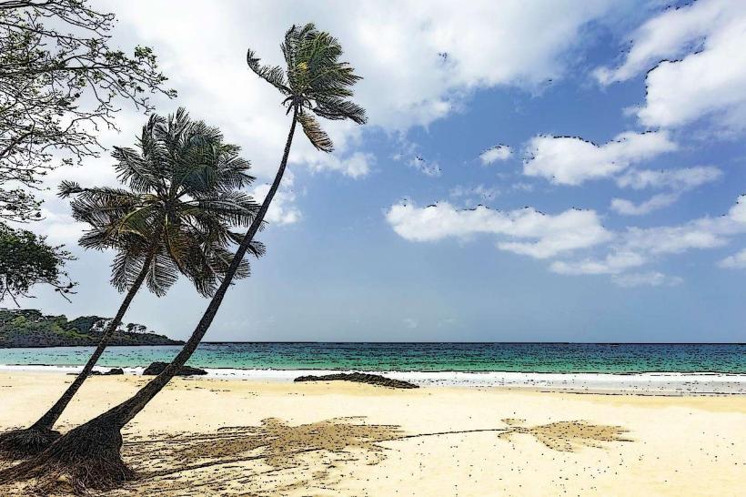
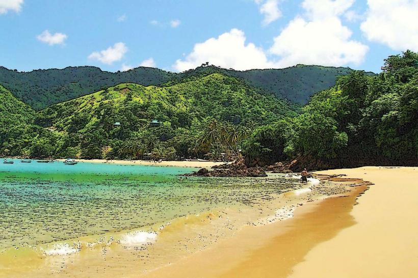
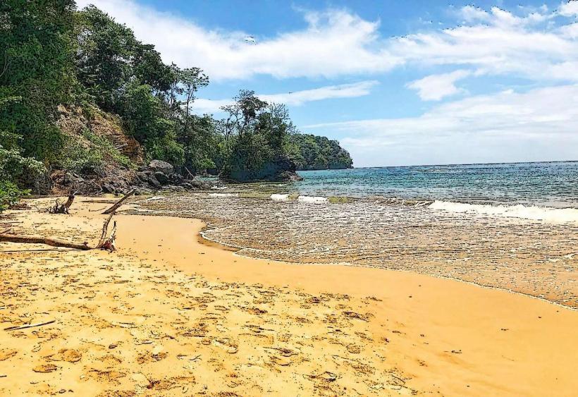
The dam itself is a concrete structure with a spillway. The reservoir behind it is a body of water with varying depths, surrounded by tropical vegetation. The water color can range from a murky brown to a greenish hue depending on rainfall and sediment levels. The surrounding terrain is hilly and covered in dense forest.
Location & Access Logistics
The Hillsborough Dam is situated approximately 10 kilometers north of Scarborough. Access is via the Windward Road, turning onto the Hillsborough Dam Road. The drive from Scarborough takes approximately 20-25 minutes. There is a small, unpaved parking area near the dam structure. Public transport to the dam is limited; local taxis or private vehicles are the most practical means of access.
Historical & Ecological Origin
Construction of the Hillsborough Dam was completed in 1972. It was engineered to address the water supply needs of Tobago. The reservoir is situated within a tropical rainforest ecosystem, supporting a variety of local flora and fauna.
Key Highlights & Activities
Observation of the dam structure and the reservoir. Birdwatching is possible in the surrounding forested areas. Limited fishing may occur in designated areas of the reservoir, subject to local regulations. Hiking trails are present in the vicinity, though not officially maintained for public use.
Infrastructure & Amenities
There are no public restrooms or food vendors directly at the dam site. Cell phone signal (4G/5G) is generally weak to non-existent in the immediate vicinity of the dam. Shade is available from the surrounding trees.
Best Time to Visit
The best time of day for general observation is during daylight hours. The months of January to May typically offer drier weather conditions. Rainfall can significantly impact water levels and accessibility of surrounding trails.
Facts & Legends
A local anecdote suggests that the reservoir's water levels are closely monitored by the island's elders, who believe the dam's health is intrinsically linked to Tobago's prosperity. It is also known as the largest man-made body of water on Tobago.
Nearby Landmarks
- Argyle Waterfall (2.5km Northeast)
- Main Ridge Forest Reserve (3.0km North)
- Fort King George (9.0km Southwest)
- Scarborough Botanical Garden (9.5km Southwest)