Landmark: King Peter’s Bay
City: Scarborough
Country: Trinidad and Tobago
Continent: North America
King Peter’s Bay, Scarborough, Trinidad and Tobago, North America
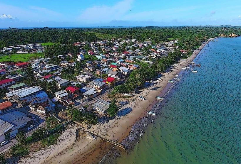
King Peter’s Bay is a coastal area situated on the island of Tobago, within the nation of Trinidad and Tobago.
Visual Characteristics
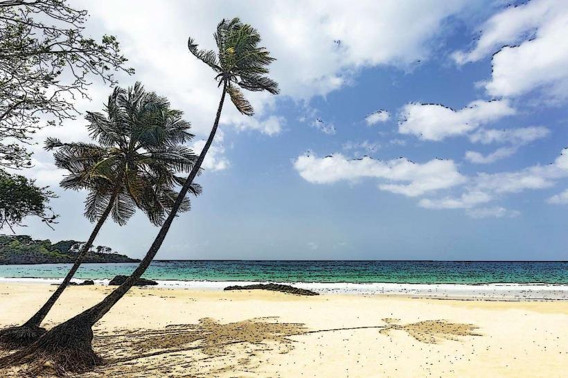
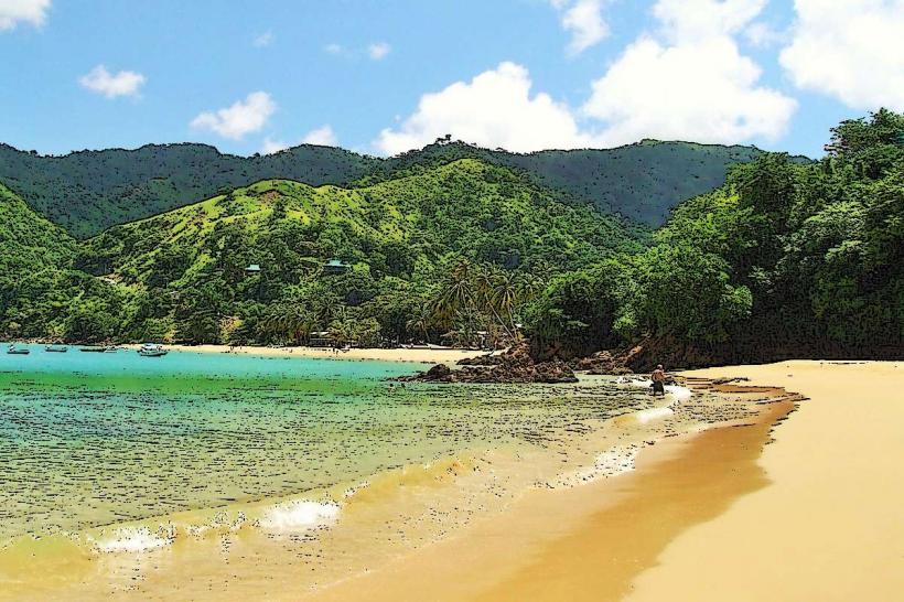
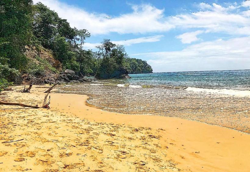
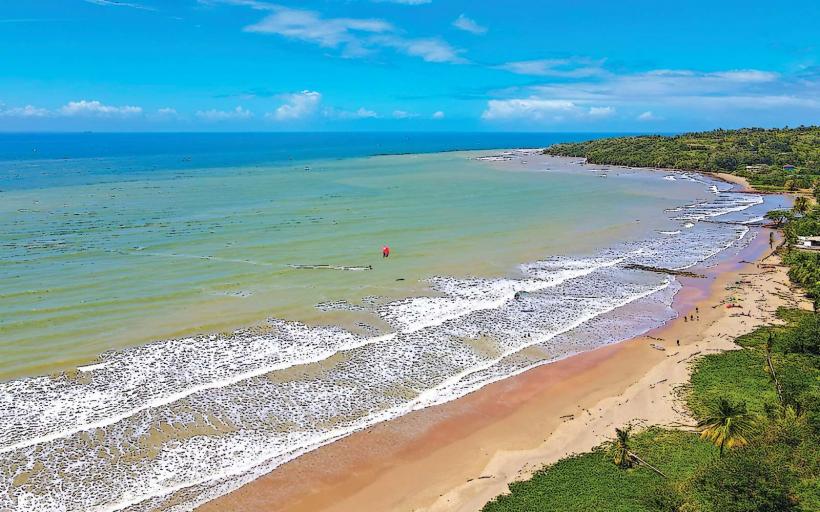
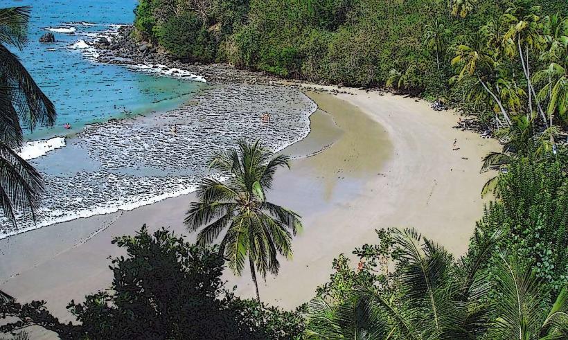
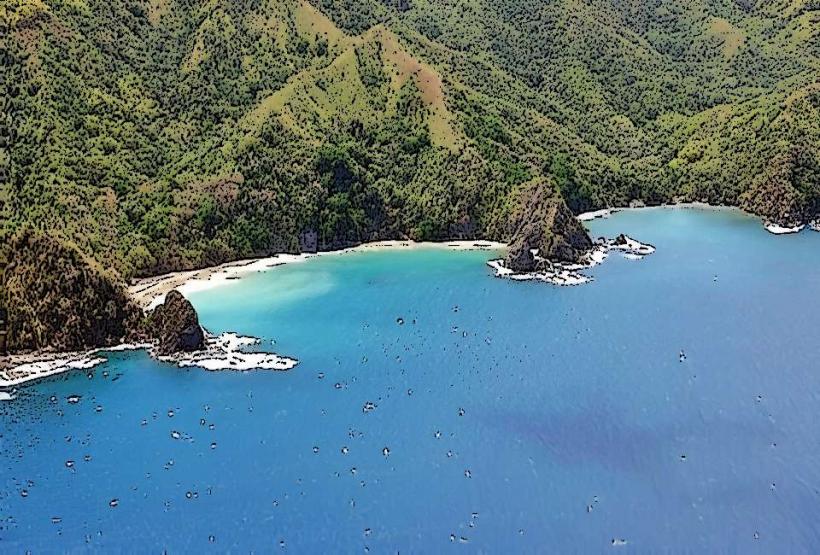
The bay features a crescent-shaped shoreline with light brown sand. The water exhibits a clear, turquoise hue, transitioning to deeper blue further offshore. Rocky outcrops are present at the northern and southern extremities of the bay. Vegetation consists of dense tropical foliage extending to the beach edge.
Location & Access Logistics
King Peter’s Bay is located approximately 10 kilometers east of Scarborough. Access is via the Windward Road (Trinidad and Tobago Main Road 1). A small, unpaved access track, approximately 0.5 kilometers in length, branches off Windward Road and leads directly to the bay. Parking is available on the unpaved track, with space for approximately 5-7 vehicles. No public transport directly serves the bay; the nearest bus stop is located 2 kilometers west on Windward Road.
Historical & Ecological Origin
The bay is a natural formation, sculpted by coastal erosion and marine processes over millennia. It is part of the wider Caribbean marine ecosystem, characterized by coral reef formations offshore, though the immediate bay area is primarily sandy bottom.
Key Highlights & Activities
Swimming is possible in calm conditions. Snorkeling can be undertaken near the rocky outcrops, particularly at the southern end. Beachcombing for shells is a common activity. No organized tours or facilities are present.
Infrastructure & Amenities
There are no public restrooms or shade structures at King Peter’s Bay. Cell phone signal (4G) is intermittent. No food vendors are located at the bay; the nearest services are in the village of Bacolet, approximately 3 kilometers west.
Best Time to Visit
The best time for photography is between 9:00 AM and 11:00 AM for direct sunlight on the water. The driest months are typically January through April. High tide is generally preferred for swimming due to deeper water closer to shore.
Facts & Legends
Local lore suggests the bay was named after a pirate captain who used it as a clandestine anchorage. While unverified, the secluded nature of the bay supports such historical speculation.
Nearby Landmarks
- Bacolet Bay (2.5km West)
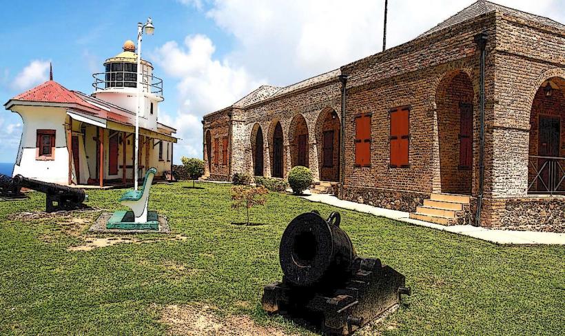
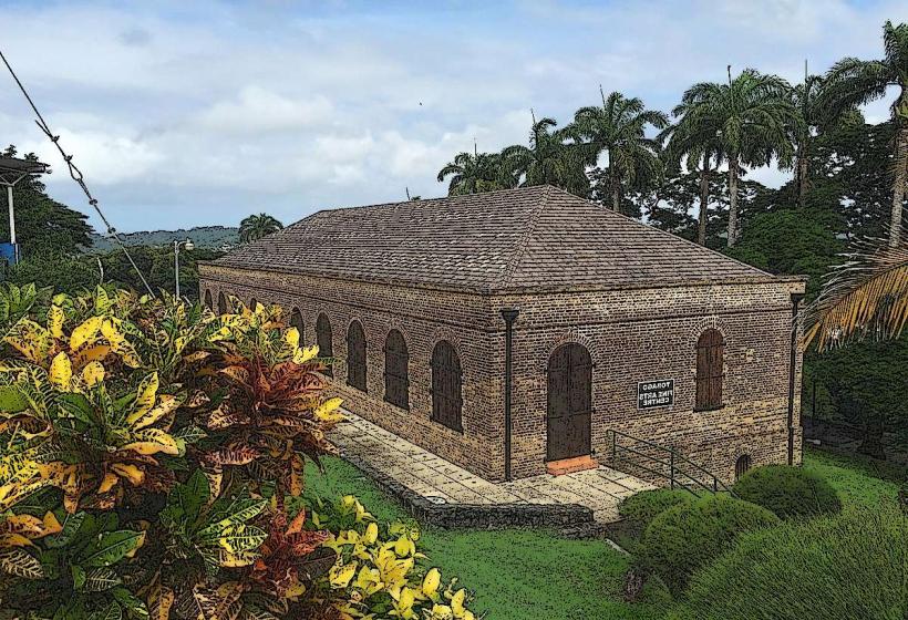
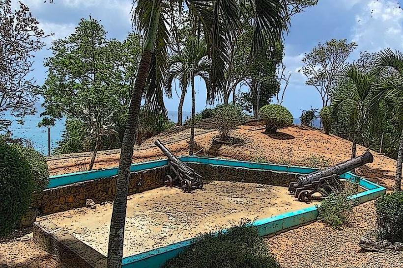
- Fort King George (8km West)
- Scarborough Botanical Gardens (9km West)
- Pigeon Point (12km Southwest)