Landmark: Hot Springs Creek Greenway Trail
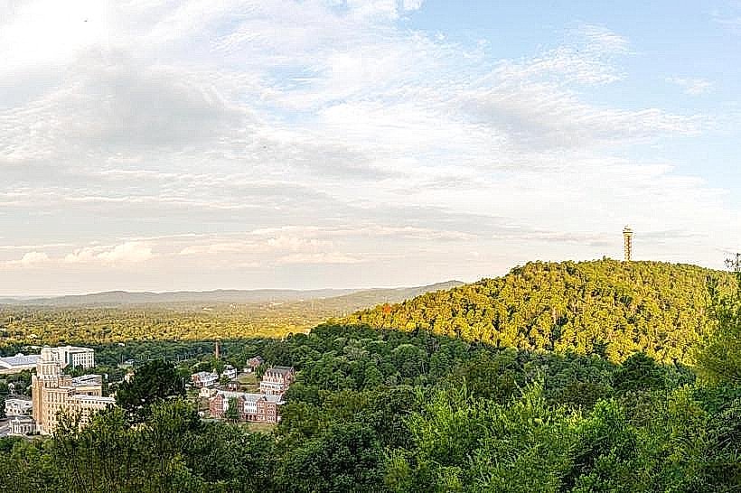
City: Hot Springs
Country: USA Arkansas
Continent: North America
Hot Springs Creek Greenway Trail, Hot Springs, USA Arkansas, North America
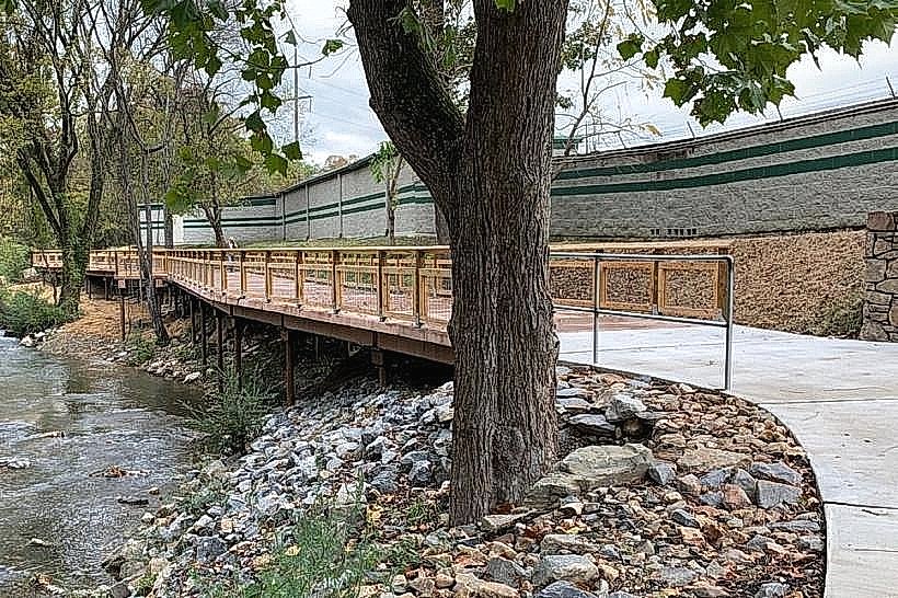
Hot Springs Creek Greenway Trail is a paved multi-use path located in Hot Springs, Arkansas. It follows the course of Hot Springs Creek through urban and natural areas.
Visual Characteristics
The trail is constructed of asphalt, measuring approximately 10 feet in width. It is bordered by a mix of mature deciduous trees, including oak and maple, and native undergrowth. The creek itself exhibits a clear to slightly tannish water color, depending on recent rainfall. Rock formations along the creek bed are primarily sandstone and shale.
Location & Access Logistics
The main trailhead is situated at the intersection of Convention Boulevard and Spring Street in downtown Hot Springs, approximately 0.5 miles South of the central business district. Parking is available in a designated lot adjacent to the trailhead, with capacity for approximately 30 vehicles. Public transport access is provided by the Hot Springs Metro Connection bus route 3, with a stop located 0.2 miles East of the trailhead on Spring Street.
Historical & Ecological Origin
The Hot Springs Creek Greenway Trail was developed as part of a municipal project to reclaim and enhance the natural corridor of Hot Springs Creek. The creek's flow has been historically influenced by the thermal springs in the area, though the trail itself is not directly associated with the thermal waters. The surrounding land is part of the Ouachita Mountain foothills ecosystem.
Key Highlights & Activities
Walking, jogging, and cycling are the primary activities. Birdwatching is possible along the creek banks. The trail provides access to several smaller, unpaved nature paths branching off at various points. Fishing is permitted in designated sections of Hot Springs Creek, subject to Arkansas Game and Fish Commission regulations.
Infrastructure & Amenities
Restrooms are available at the Convention Boulevard trailhead. Benches are located at approximately 0.5-mile intervals. Shade is provided by the tree canopy for approximately 70% of the trail's length. Cell phone signal (4G/5G) is generally consistent along the entire route. No food vendors are located directly on the trail; however, numerous restaurants are within a 0.5-mile radius of the downtown trailhead.
Best Time to Visit
For photography, early morning (7:00 AM - 9:00 AM) offers softer light. The months of April through October provide the most favorable weather conditions for outdoor activity. No specific tide requirements apply.
Facts & Legends
A local historical oddity is the presence of remnants of old stone culverts and bridge abutments along the creek, dating back to the late 19th and early 20th centuries when the area was more heavily developed for tourism. These structures indicate past infrastructure that has since been reclaimed by nature.
Nearby Landmarks
- Hot Springs National Park Visitor Center - 0.3km North
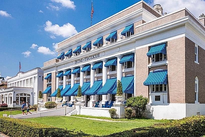
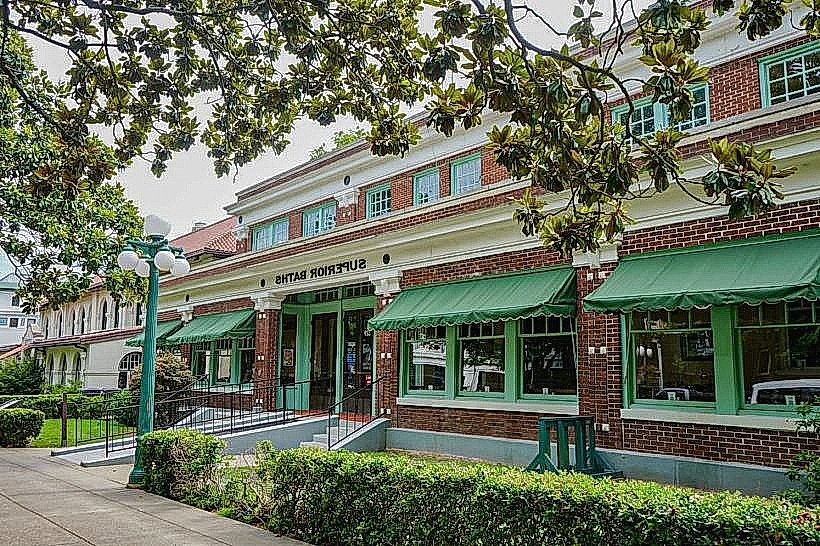
- Bathhouse Row - 0.4km North
- Garvan Woodland Gardens - 4.2km Southwest
- Mid-America Science Museum - 3.8km West
- Lake Hamilton - 5.0km South