Landmark: Lake Catherine State Park
City: Hot Springs
Country: USA Arkansas
Continent: North America
Lake Catherine State Park, Hot Springs, USA Arkansas, North America
Lake Catherine State Park is a protected area located in Hot Springs, Arkansas, USA.
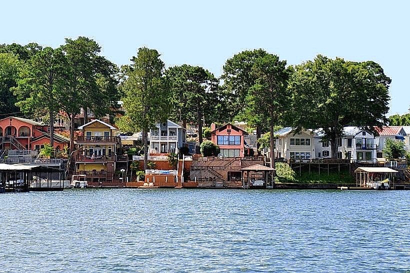
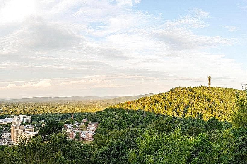
This park encompasses a significant portion of the Ouachita Mountains and features a large reservoir.
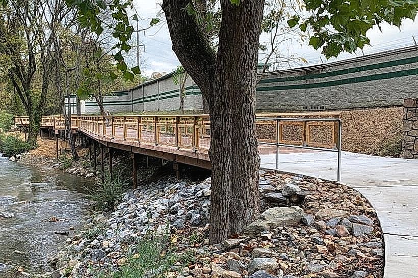
Visual Characteristics
The park's landscape is characterized by rolling hills covered in mixed pine and hardwood forests. The lake itself, Lake Catherine, presents a deep blue to green hue depending on light conditions and depth. Rock formations, primarily sandstone and novaculite, are visible along the shoreline and in exposed areas. The vegetation density varies, with open areas near the lake and denser forest inland.
Location & Access Logistics
Lake Catherine State Park is situated approximately 10 miles southwest of downtown Hot Springs, Arkansas. Access is via State Highway 171 (Catherine Park Road). The park entrance is clearly marked. Ample parking is available at various points throughout the park, including trailheads, picnic areas, and the marina. Public transportation options directly to the park are not available; visitors typically require private vehicles.
Historical & Ecological Origin
The park was established in the 1930s, with much of its initial development undertaken by the Civilian Conservation Corps (CCC). The lake was formed by the construction of Carpenter Dam, completed in 1924, which impounded the Ouachita River. Ecologically, the area is part of the Ouachita Mountains ecoregion, known for its unique geological history and diverse flora and fauna.
Key Highlights & Activities
Activities include hiking on marked trails such as the Falls Branch Trail (1.9 miles roundtrip) leading to a waterfall, and the steeper Mountain Tower Trail (0.7 miles roundtrip) offering elevated views. Boating and fishing are permitted on Lake Catherine. The park also offers opportunities for swimming at designated areas and birdwatching.
Infrastructure & Amenities
Restrooms are available at the visitor center, picnic areas, and campgrounds. Shaded picnic sites are provided. Cell phone signal (4G/5G) is generally available within the park, though it may be intermittent in more remote areas. Food vendors are not present within the park itself, but are available in nearby Hot Springs.
Best Time to Visit
For photography, early morning and late afternoon offer optimal lighting conditions due to lower sun angles. The best months for weather are typically April through October, with spring (April-May) offering blooming wildflowers and fall (September-October) providing autumn foliage. There are no specific tide requirements as the park is freshwater.
Facts & Legends
A notable historical oddity is the presence of remnants from the CCC era, including stone structures and bridges that are still in use. Local folklore sometimes mentions sightings of unusual wildlife, though these are largely unsubstantiated.
Nearby Landmarks
- Hot Springs National Park (16km Northeast)
- Garvan Woodland Gardens (12km Northeast)
- Mid-America Science Museum (14km Northeast)
- Lake Ouachita State Park (25km West)