Information
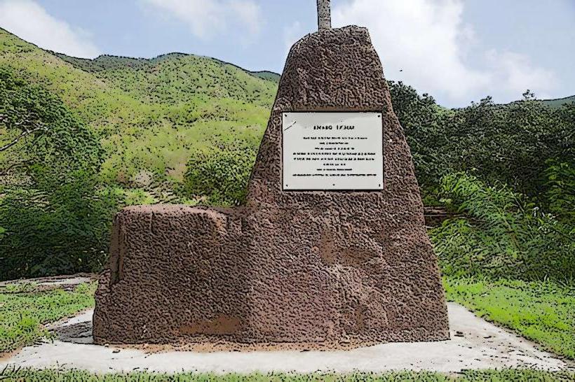
Landmark: Johnson's PointCity: Southwest Antigua
Country: Antigua and Barbuda
Continent: North America
Johnson's Point, Southwest Antigua, Antigua and Barbuda, North America
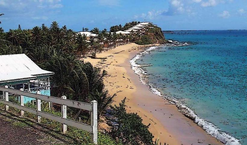
Johnson's Point is a coastal promontory located on the southwestern tip of Antigua, Antigua and Barbuda. It is characterized by its rugged coastline and elevated position overlooking the Caribbean Sea.
Visual Characteristics
The point features a mix of limestone cliffs and scrub vegetation. The cliffs exhibit shades of beige and grey, with exposed sedimentary layers. The surrounding water is typically a deep blue, transitioning to turquoise closer to shore. Vegetation consists of drought-resistant shrubs and grasses.
Location & Access Logistics
Johnson's Point is situated approximately 15 kilometers southwest of St. John's, the capital city. Access is via the main road, Sir George Walter Highway, then turning onto Valley Road and subsequently following signs for Johnson's Point. The final approach involves a gravel track, passable by most standard vehicles. Limited parking is available at the trailhead. Public transport options are not direct; bus routes terminate in nearby villages, requiring a taxi or extended walk for the final segment.
Historical & Ecological Origin
Geologically, Johnson's Point is composed of uplifted coral limestone, indicative of ancient reef formations. Its ecological classification is a coastal scrubland ecosystem, adapted to arid conditions and salt spray.
Key Highlights & Activities
Observation of coastal erosion patterns is a primary activity. The elevated position offers unobstructed views of the western horizon. Birdwatching is possible, with species adapted to coastal environments present. No formal trails are maintained; exploration is informal.
Infrastructure & Amenities
No formal infrastructure is present at Johnson's Point. Restrooms, shade structures, and food vendors are not available. Cell phone signal (4G/5G) is generally weak to non-existent at the point itself.
Best Time to Visit
For photography, the late afternoon provides direct sunlight on the western face of the cliffs. The dry season, from December to May, offers the most stable weather conditions. No tidal considerations are relevant for access or observation.
Facts & Legends
Local lore suggests that the point was a strategic lookout post for early settlers, though no definitive archaeological evidence supports this. A specific tip for visitors is to wear sturdy footwear due to the uneven terrain and loose gravel.
Nearby Landmarks
- Shirley Heights (8km Northeast)
- Nelson's Dockyard (10km East)
- English Harbour (9km East)
- Dow's Hill Interpretation Centre (9km East)