Information
Landmark: Pearns PointCity: Southwest Antigua
Country: Antigua and Barbuda
Continent: North America
Pearns Point, Southwest Antigua, Antigua and Barbuda, North America
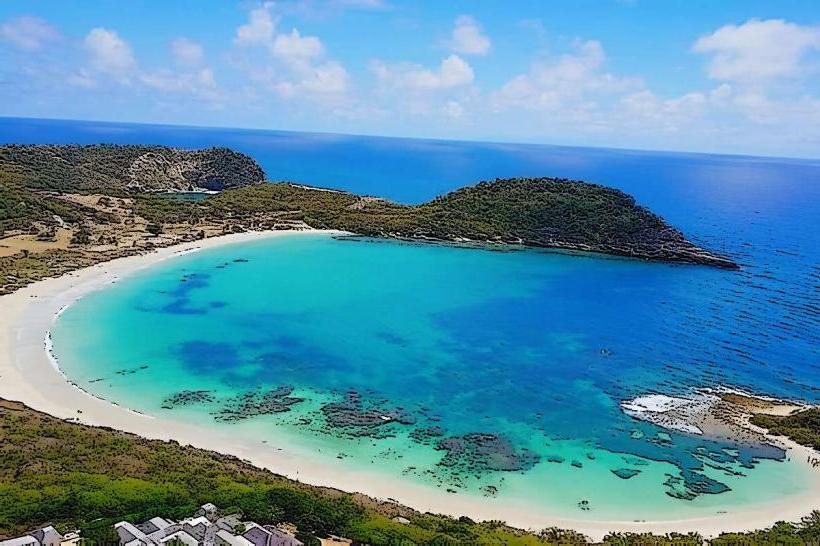
Pearns Point is a coastal promontory located on the southwestern coast of Antigua, Antigua and Barbuda.
This geographical feature extends into the Caribbean Sea, forming a distinct headland.
Visual Characteristics
The point is characterized by its rocky shoreline, with elevations reaching approximately 30 meters above sea level. The vegetation consists of low-lying scrub and drought-resistant plants typical of arid coastal environments. The surrounding waters exhibit a clear, turquoise hue.
Location & Access Logistics
Pearns Point is situated approximately 15 kilometers southwest of St. John's, the capital city. Access is via Pearns Point Road, a paved public thoroughfare. Parking is available at designated informal pull-offs along the road leading to the point. Public transport options are limited; the nearest bus route stops at the junction of Pearns Point Road and Valley Road, requiring an additional 1.5km walk.
Historical & Ecological Origin
Geologically, Pearns Point is composed of volcanic rock formations, part of the island's ancient geological history. Its formation is attributed to past volcanic activity and subsequent erosion by marine forces.
Key Highlights & Activities
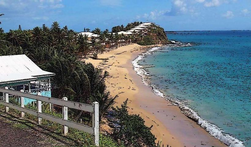
Observation of marine life is possible from the elevated points. Coastal walking along the perimeter is feasible, though trails are not formally maintained. Photography of the coastline and sea views is a primary activity.
Infrastructure & Amenities
No formal infrastructure or amenities are present at Pearns Point. Restrooms, shade structures, and food vendors are not available. Cell phone signal (4G/5G) is generally consistent in the area.
Best Time to Visit
For photography, the late afternoon offers direct sunlight on the western-facing coastline. The dry season, from December to May, provides the most favorable weather conditions with minimal rainfall. High tide can obscure some of the lower rock formations.
Facts & Legends
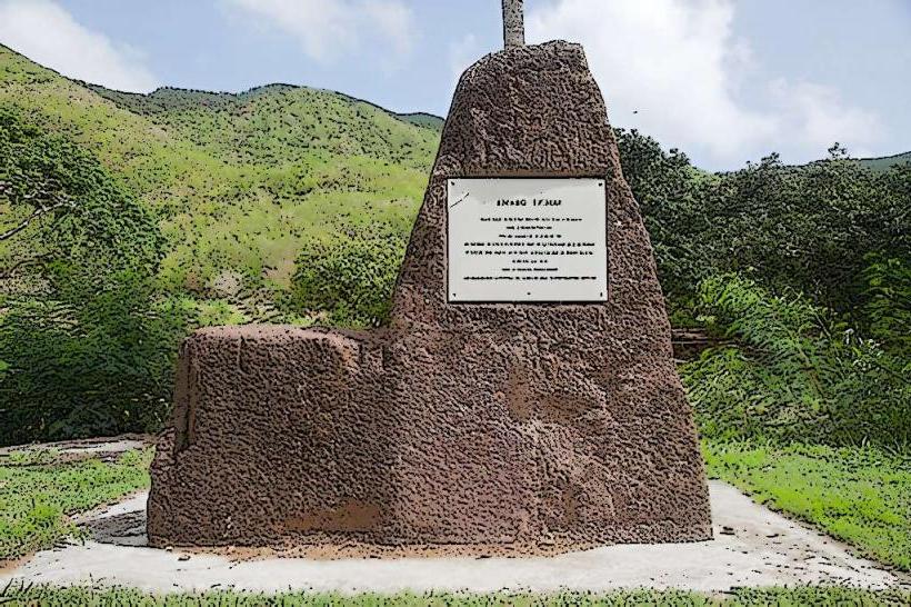
Local lore suggests that during the era of privateering, Pearns Point served as a clandestine lookout post due to its strategic vantage point overlooking the approaches to the island.
Nearby Landmarks
- 5km Northeast: Valley Church Beach
- 6km Northeast: Jolly Harbour Marina
- 7km North: Ffryes Beach
- 8km North: Dennis Cockett House