Landmark: Khun Korn Waterfall
City: Chiang Rai
Country: Thailand
Continent: Asia
Khun Korn Waterfall, Chiang Rai, Thailand, Asia
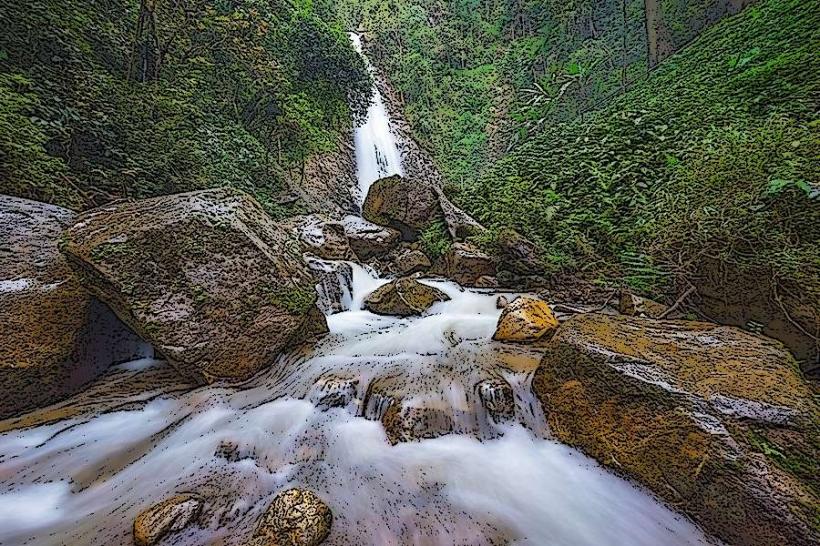
Khun Korn Waterfall is a tiered cascade located within the Khun Korn Forest Reserve, approximately 30 kilometers northwest of Chiang Rai city, Thailand.
Visual Characteristics
The waterfall features a primary drop of approximately 70 meters, with water flowing over moss-covered rocks. The surrounding vegetation is dense tropical rainforest, characterized by tall trees and a variety of ferns and undergrowth. The water is typically clear and cool, with a light mist generated by the falling water.
Location & Access Logistics
To reach Khun Korn Waterfall from Chiang Rai, take Highway 1 (Phahonyothin Road) north for approximately 15 kilometers. Turn left onto Highway 1096 (Mae Fah Luang Road) and proceed for about 10 kilometers. Turn right onto a smaller, unpaved road marked with signage for the waterfall. This road is approximately 3 kilometers long and can be rough; a vehicle with higher clearance is recommended. Parking is available at the trailhead. Public transport options are limited; a private taxi or rented vehicle is the most practical method of access.
Historical & Ecological Origin
Khun Korn Waterfall is a natural geological formation, part of the mountainous terrain of northern Thailand. The area is classified as tropical rainforest, supporting a diverse ecosystem. The waterfall's formation is due to erosion and the natural topography of the land over millennia.
Key Highlights & Activities
The primary activity is viewing the waterfall from the base. A well-maintained, paved walking trail, approximately 700 meters long, leads from the parking area to the waterfall's base. The trail is shaded by the forest canopy. Swimming is not permitted at the waterfall itself.
Infrastructure & Amenities
Restrooms are available at the parking area. There are designated shaded rest stops along the walking trail. Cell phone signal (4G/5G) is intermittent to non-existent within the forest reserve. No food vendors are present at the waterfall site; visitors should bring their own provisions.
Best Time to Visit
The best time of day for photography is generally mid-morning to early afternoon, when sunlight can penetrate the canopy and illuminate the water. The best months for visiting are during the cool, dry season, from November to February, when rainfall is minimal and temperatures are moderate. The waterfall's flow is most substantial during and immediately after the rainy season (May to October).
Facts & Legends
A local belief suggests that the waterfall possesses healing properties, though this is not scientifically verified. The waterfall is also known locally as "Namtok Mae Korn."
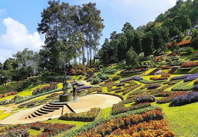
Nearby Landmarks
- Doi Chang (Mountain): 15km Southwest
- Wat Phra That Doi Hang: 25km Southeast
- Chiang Rai Night Bazaar: 30km Southeast
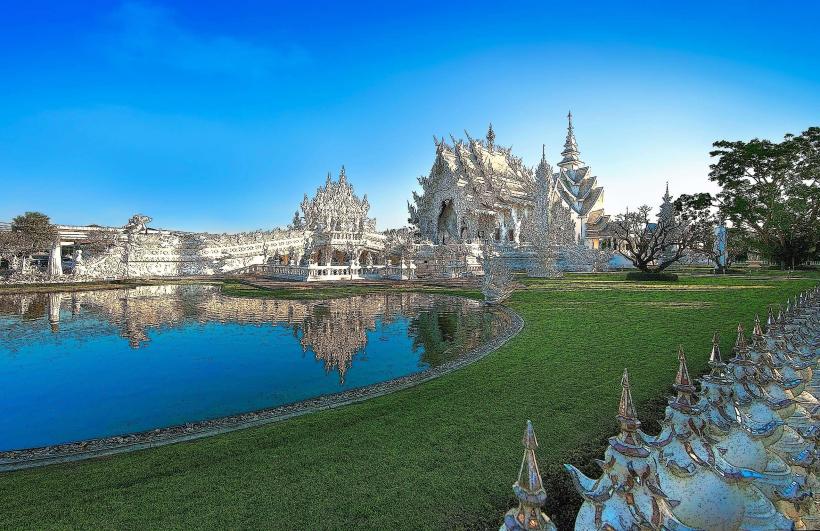
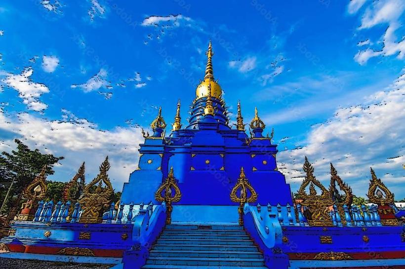
- Blue Temple (Wat Rong Suea Ten): 32km Southeast