Information
Landmark: Kilim Karst Geoforest ParkCity: Malacca
Country: Malaysia
Continent: Asia
Kilim Karst Geoforest Park, Malacca, Malaysia, Asia
Kilim Karst Geoforest Park is a protected area located in Langkawi, Malaysia, known for its limestone formations and mangrove ecosystems.
This park encompasses a significant portion of the Kilim River estuary and surrounding karst landscape.
Visual Characteristics
The park features towering limestone karst formations, some exceeding 100 meters in height. These formations are characterized by their steep, often vertical faces and weathered surfaces. The Kilim River flows through the park, with its waters varying in color from muddy brown to a clearer green depending on rainfall and tidal conditions. Dense mangrove forests line the riverbanks, with exposed aerial roots visible during low tide. The vegetation is primarily tropical rainforest, with a thick canopy.
Location & Access Logistics
Kilim Karst Geoforest Park is situated on the northeastern coast of Langkawi Island, approximately 15 kilometers from Kuah town. Access is primarily via the main coastal road, Jalan Ayer Hangat. From Kuah, follow Jalan Ayer Hangat towards Tanjung Rhu. The park entrance is clearly signposted. Parking is available at designated jetties, such as the Kilim Jetty, where boat tours depart. Public transport to the park is limited; private car hire or taxi services are the most practical options. Boat tours are the primary mode of exploration within the park.
Historical & Ecological Origin
The limestone formations within Kilim Karst Geoforest Park are estimated to be over 500 million years old, formed from ancient marine sediments. The karst topography developed through the dissolution of soluble rock, primarily limestone, by acidic rainwater over millennia. The mangrove ecosystem is a vital coastal wetland, providing habitat for diverse flora and fauna and acting as a natural buffer against erosion and storm surges. The park was designated as part of the Langkawi Geopark in 2007, recognizing its geological significance.
Key Highlights & Activities
Boat tours are the central activity, offering exploration of the mangrove channels and karst formations. Specific points of interest include the Crocodile Cave (Gua Buaya), a cave formation resembling a crocodile, and the Bat Cave (Gua Kelawar), home to numerous bat species. Visitors can observe wildlife such as eagles, monkeys, and various bird species. Some tours include stops at fish farms where visitors can see aquaculture practices. Kayaking is also possible in designated areas of the river.
Infrastructure & Amenities
Basic amenities are available at the main jetties, including restrooms and small food stalls selling local snacks and drinks. Shade is provided by natural tree cover in the mangrove areas and by the boats during tours. Cell phone signal (4G/5G) is generally available in the vicinity of the jetties but can be intermittent within the denser mangrove areas and caves.
Best Time to Visit
The best time of day for photography is generally in the early morning or late afternoon when the sunlight creates softer shadows on the karst formations. The dry season, from December to March, offers the most pleasant weather with less rainfall. Tidal conditions can affect access to certain caves and the visibility of mangrove roots; high tide is often preferred for navigating deeper into the channels.
Facts & Legends
A local legend associated with the Kilim River speaks of a giant serpent that guards the waters. It is said that the river's unusual bends and currents are a result of its movements. Geologically, the park contains fossils dating back to the Cambrian period, providing evidence of ancient marine life.
Nearby Landmarks
- Tanjung Rhu Beach (1.5km Northwest)
- Makam Mahsuri (10km Southwest)
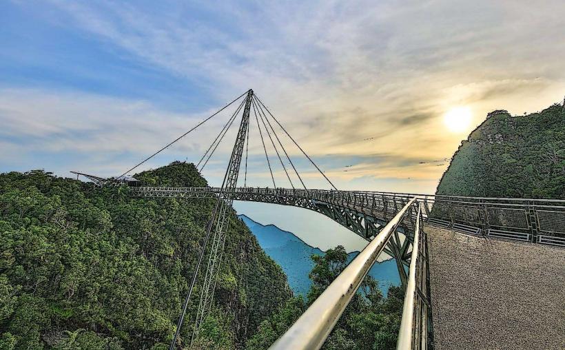
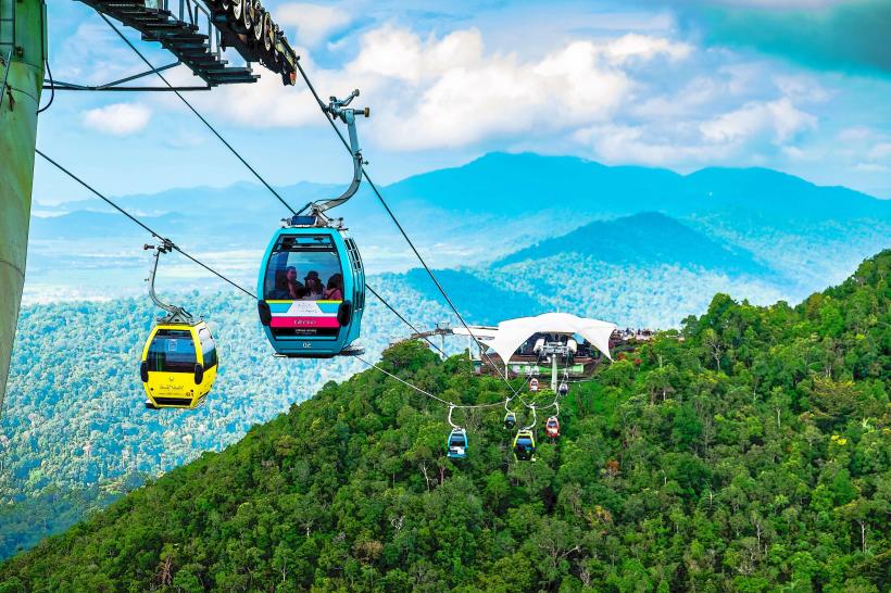
- Langkawi Sky Bridge (18km Southwest)
- Eagle Square (Dataran Lang) (15km Southwest)
- Underwater World Langkawi (16km Southwest)