Landmark: Knife River Indian Villages Historic Site
City: Bismarck
Country: USA North Dakota
Continent: North America
Knife River Indian Villages Historic Site, Bismarck, USA North Dakota, North America
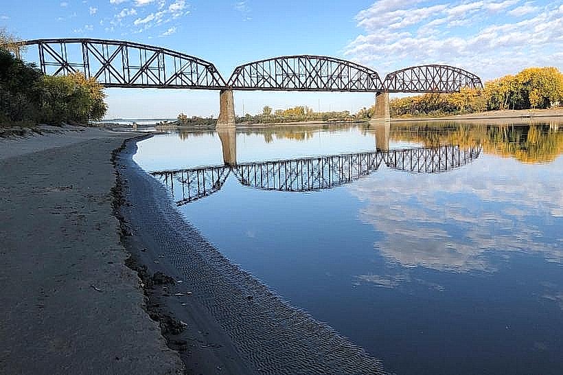
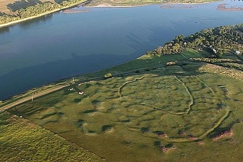
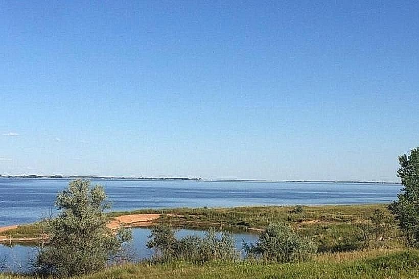
The Knife River Indian Villages Historic Site preserves the remains of several Northern Plains Indian villages along the Missouri River in North Dakota.
This site is located approximately 80 kilometers (50 miles) north of Bismarck, North Dakota.
Visual Characteristics
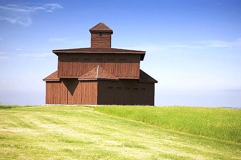
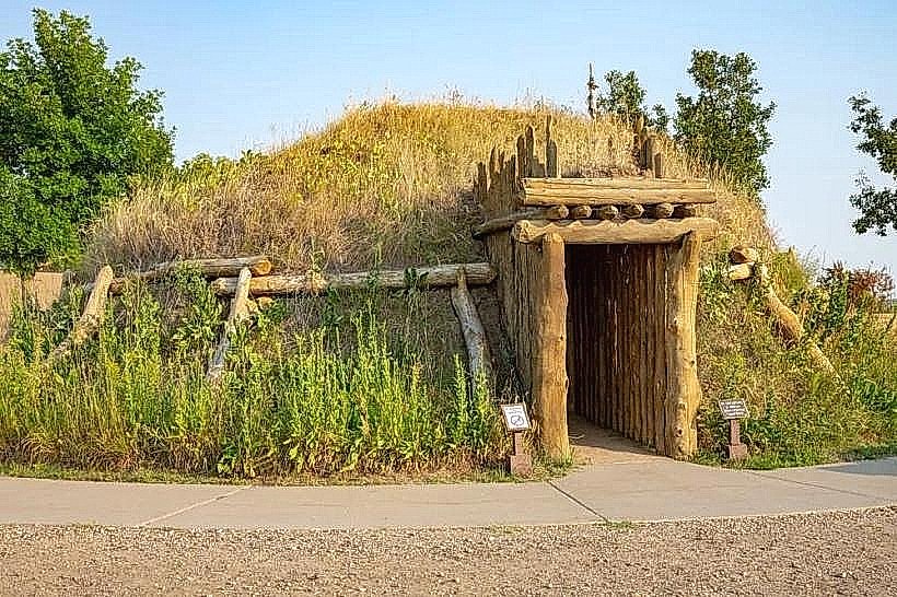
The site features reconstructed earth lodges, which are circular dwellings built from wood and earth. The surrounding landscape consists of rolling prairie with the Knife River flowing through it. Evidence of village mounds and earthworks is visible across the terrain.
Location & Access Logistics
The Knife River Indian Villages Historic Site is accessible via US Highway 83 North from Bismarck. Turn west onto North Dakota Highway 37. The site is approximately 16 kilometers (10 miles) west of Stanton, North Dakota. Parking is available at the visitor center. No public transport directly serves the site.
Historical & Ecological Origin
The site preserves villages inhabited by the Hidatsa and Mandan tribes from approximately 1525 to 1845. These villages were central to the Northern Plains agricultural societies, cultivating crops like corn, beans, and squash. The Knife River itself provided a vital water source and fertile soil for their settlements.
Key Highlights & Activities
Visitors can explore reconstructed earth lodges, walk the village site trails, and view interpretive exhibits at the visitor center. Ranger-led programs are offered seasonally. Hiking the prairie trails provides views of the river and surrounding landscape.
Infrastructure & Amenities
Restrooms are available at the visitor center. Limited shade is present along the trails. Cell phone signal is generally weak to non-existent within the park boundaries. No food vendors are located on-site; visitors should bring their own provisions.
Best Time to Visit
The best time for outdoor exploration is from late spring to early autumn (May to October). Mid-morning or late afternoon offers optimal lighting for photography of the earth lodges and landscape. The site is accessible year-round, but winter conditions can impact trail accessibility.
Facts & Legends
The Hidatsa and Mandan tribes were known for their sophisticated agricultural practices and their role as intermediaries in extensive trade networks across the Northern Plains. A specific legend tells of the "Earth Lodge People" who emerged from the underworld to settle the land.
Nearby Landmarks
- Lewis and Clark Riverboat (Bismarck) - 75km South
- Fort Abraham Lincoln State Park (Mandan) - 85km South
- North Dakota Heritage Center & State Museum (Bismarck) - 80km South
- Sakakawea State Park (Pick City) - 40km Northwest