Information
Landmark: Lagdera DesertCity: Garissa
Country: Kenya
Continent: Africa
Lagdera Desert, Garissa, Kenya, Africa
Lagdera Desert is a desert region located in Garissa County, Kenya. It is characterized by arid and semi-arid conditions.
Visual Characteristics
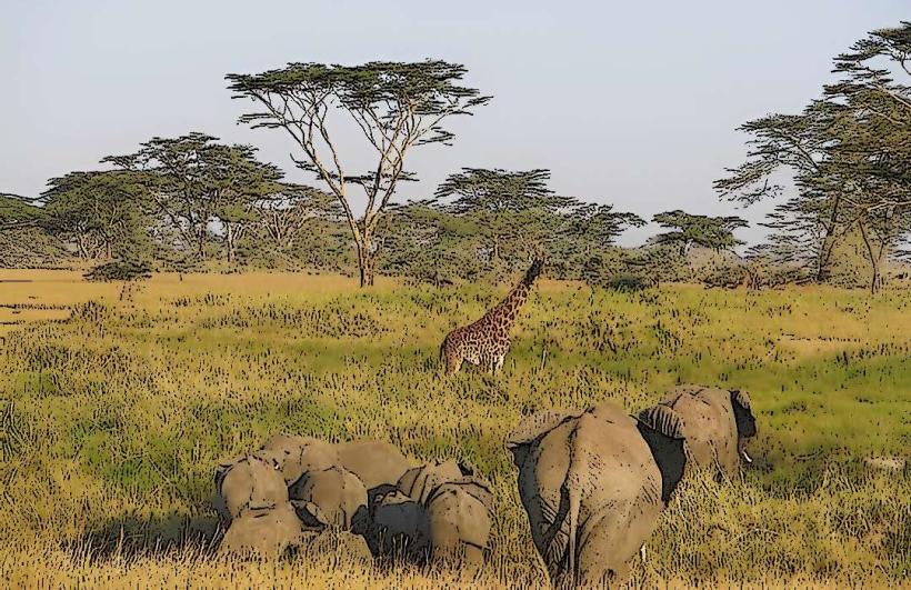
The landscape consists primarily of sand dunes and sparse vegetation, including drought-resistant shrubs and grasses. The terrain is predominantly flat with occasional rocky outcrops. Soil color ranges from light brown to reddish-brown.
Location & Access Logistics
Lagdera Desert is situated approximately 50 kilometers northwest of Garissa town. Access is primarily via the A3 highway, turning onto unpaved local roads. The condition of these unpaved roads can vary significantly, especially after rainfall. There is no designated public transport to the desert itself; private vehicles are required. Limited parking is available at designated entry points, which are not formally marked.
Historical & Ecological Origin
The region's arid climate is a result of its geographical location within the Horn of Africa's rain shadow. Ecologically, it is classified as a semi-arid savanna transitioning into a desert environment, shaped by low rainfall and high evaporation rates.
Key Highlights & Activities
Activities include off-road driving, desert trekking, and stargazing due to minimal light pollution. Wildlife observation of adapted species such as oryx and various reptiles is possible. Photography of the dune formations is a common pursuit.
Infrastructure & Amenities
There are no formal infrastructure or amenities within Lagdera Desert. Visitors should carry all necessary supplies, including water and food. Cell phone signal is intermittent and generally unreliable. No restrooms or shade structures are present.
Best Time to Visit
The best time for visiting is during the cooler months, from June to September, when daytime temperatures are lower. Early morning and late afternoon offer optimal lighting conditions for photography, avoiding the harshest midday sun.
Facts & Legends
Local folklore suggests that certain areas within the desert are inhabited by spirits that guide lost travelers. A verified historical fact is the presence of ancient nomadic trade routes that traversed this region, connecting coastal settlements with inland communities.
Nearby Landmarks
- Garissa Town (50km Southeast)
- Bura East Irrigation Scheme (40km South)
- Dertu (35km Northwest)
- Hulugho (60km East)