Information
Landmark: Tana RiverCity: Garissa
Country: Kenya
Continent: Africa
Tana River, Garissa, Kenya, Africa
The Tana River is Kenya's longest river, originating in the Aberdare Range and flowing southeast to the Indian Ocean. In the Garissa region, it forms a significant watercourse through arid landscapes.
Visual Characteristics
The Tana River in Garissa is characterized by its muddy brown water, particularly during the rainy season. The riverbanks are often lined with sparse acacia trees and scrub vegetation. The width varies seasonally, from approximately 50 meters during dry periods to over 200 meters during flood events. The surrounding terrain is predominantly flat, arid savanna.
Location & Access Logistics
The Tana River flows through the town of Garissa. Access to the riverbanks within Garissa town is generally via local roads branching off the main A3 highway. Parking is available in designated areas near the town center, though it is informal. Public transport within Garissa consists of matatus (minibuses) and boda-bodas (motorcycle taxis) which can reach areas adjacent to the river.
Historical & Ecological Origin
The Tana River is a perennial river formed by the confluence of several tributaries originating in the Aberdare Range and Mount Kenya. Its ecological significance lies in its role as a vital water source for arid and semi-arid regions of Kenya, supporting diverse flora and fauna. The river's course has been shaped by geological processes over millennia, including erosion and sediment deposition.
Key Highlights & Activities
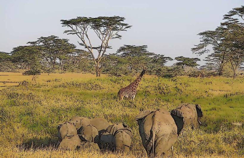
Fishing is a primary activity for local communities along the Tana River. Boat trips are sometimes available, depending on local operators and river conditions. Observing local wildlife, such as hippos and various bird species, is possible from the riverbanks or from boats.
Infrastructure & Amenities
Within Garissa town, basic amenities like small food stalls and shops are located near the river. Restrooms are generally not available at informal river access points. Cell phone signal (4G) is typically available in Garissa town, but may be intermittent closer to the riverbanks outside the immediate urban area. Shade is limited to natural vegetation or structures provided by local vendors.
Best Time to Visit
The best time for wildlife viewing is during the dry season, typically from June to October, when water sources are more concentrated. For photography, early morning and late afternoon offer softer light. High water levels can occur between April and May, and again from November to December, impacting accessibility and fishing conditions.
Facts & Legends
The Tana River Delta is a Ramsar site, recognized for its ecological importance. Local folklore often attributes the river's flow and sustenance to ancient spirits or deities, with specific rituals performed by communities for good harvests and protection from floods.
Nearby Landmarks
- Garissa Mosque 0.8km West
- Garissa Cultural Centre 1.2km Northwest
- Garissa National Park (Buffalo Springs) 15km Northwest
- Bura Irrigation Scheme 40km Southwest