Landmark: Lake Tahoe
City: Carson City
Country: USA Nevada
Continent: North America
Lake Tahoe, Carson City, USA Nevada, North America
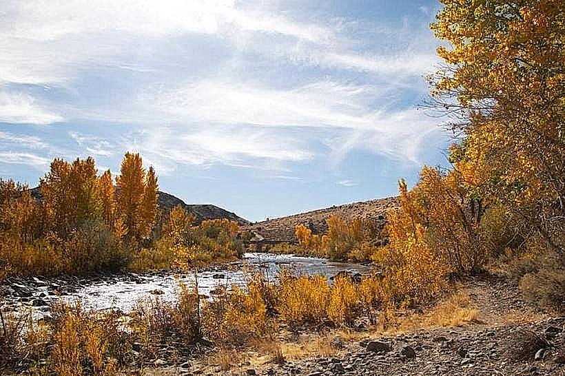
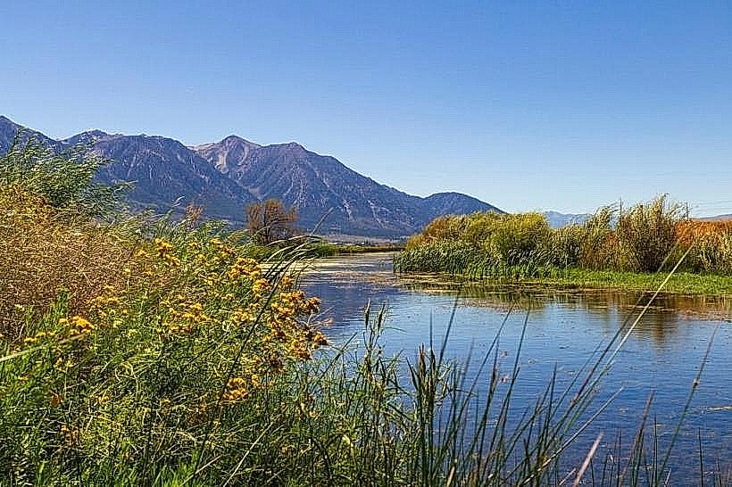
Lake Tahoe is a large freshwater lake situated in the Sierra Nevada mountains, straddling the border between California and Nevada, USA.
Visual Characteristics
The lake's surface is characterized by its deep blue to turquoise coloration, influenced by water depth and clarity. Surrounding the lake are granite mountains, often snow-capped during cooler months. Shorelines vary from sandy beaches to rocky outcroppings.
Location & Access Logistics
Access from Carson City, Nevada, involves traveling west on US Route 50 for approximately 20 miles to reach the lake's eastern shore. Parking is available at designated public beaches and boat ramps, with fees often applicable during peak seasons. Public transport options are limited; regional bus services may connect to towns on the lake, but direct routes from Carson City are infrequent.
Historical & Ecological Origin
Lake Tahoe is a natural lake formed approximately two million years ago by glacial activity and subsequent fault-block movement. It is the largest alpine lake in North America by volume and the second deepest in the United States.
Key Highlights & Activities
Activities include swimming, boating, and fishing. Hiking trails are present in the surrounding state parks. Kayaking and paddleboarding are possible on calm water surfaces. Boat tours operate from various marinas.
Infrastructure & Amenities
Restrooms are available at most public access points. Shade is provided by trees in park areas and by umbrellas at some beaches. Cell phone signal (4G/5G) is generally available in populated areas around the lake, but can be intermittent in more remote sections. Food vendors and restaurants are located in nearby towns and at some larger beach facilities.
Best Time to Visit
For swimming and water activities, the months of July and August offer the warmest water temperatures. For photography, early morning and late afternoon light provides optimal illumination of the lake and surrounding mountains. High tide is not a relevant factor for lake access.
Facts & Legends
A specific geological feature known as the "Fallen Leaf" is a submerged forest visible in certain clear conditions near the southern end of the lake, believed to be a result of a past landslide.
Nearby Landmarks
- Empire Mine State Historic Park (15km West)
- Donner Memorial State Park (25km Northwest)
- Sand Harbor State Park (10km North)
- Historic Virginia City (30km Southeast)