Landmark: Mendoza River
City: Mendoza
Country: Argentina
Continent: South America
Mendoza River, Mendoza, Argentina, South America
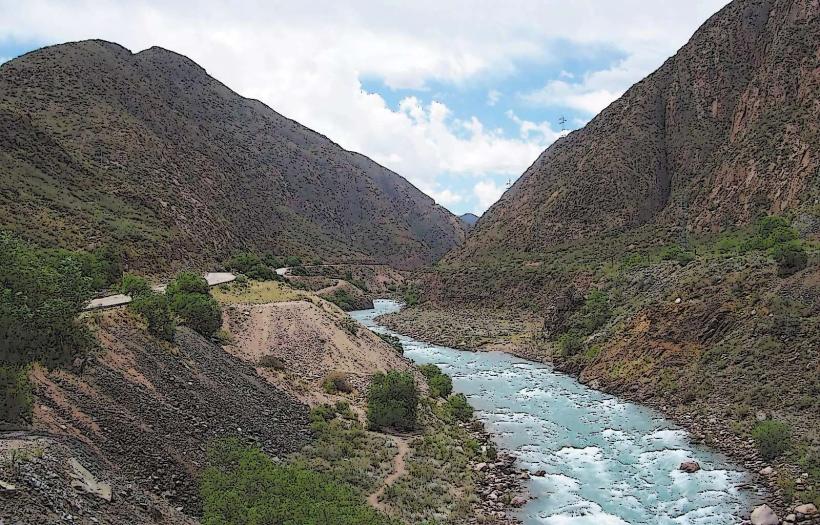
The Mendoza River is a significant watercourse flowing through the province of Mendoza, Argentina. It originates in the Andes Mountains and traverses the central region of the province.
Visual Characteristics
The river's width varies considerably, from approximately 20 meters in its upper reaches to over 100 meters in its lower sections. Water color ranges from a clear, turquoise hue in higher altitudes due to glacial melt to a more sediment-laden brown closer to urban areas. The riverbed is composed of gravel and sand, with exposed rock formations visible along its banks, particularly in the mountainous zones. Vegetation density along the riverbanks is sparse in arid sections, increasing to more robust riparian flora where irrigation channels divert water.
Location & Access Logistics
The Mendoza River flows approximately 15 kilometers west of Mendoza city center. Access points are numerous, with Provincial Route 82 (Ruta Provincial 82) running parallel to significant portions of the river. Several unpaved access roads branch off Route 82, leading to various riverbanks. Parking is generally available along the shoulders of Route 82 and at designated pull-offs. Public transport options are limited directly to the river; however, bus lines serving the Luján de Cuyo region (e.g., Line 700) provide access to towns near the river, requiring further travel by foot or taxi.
Historical & Ecological Origin
The Mendoza River is a glacial meltwater river, primarily fed by snowmelt from the Andes. Its geological origin is tied to the Andean orogeny, with its course shaped by tectonic activity and erosion over millennia. Historically, the river has been crucial for agriculture, with an extensive network of irrigation canals (acequias) constructed since the pre-Hispanic era to divert water for farming in the arid Mendoza plains. The current system of water management dates back to colonial times and has been continuously developed.
Key Highlights & Activities
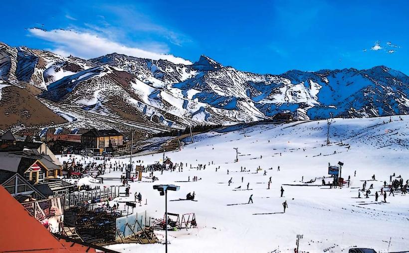
Activities include fly fishing for trout in designated zones, particularly in the upper river sections. Kayaking and rafting are possible during periods of sufficient water flow, typically from late spring to early autumn. Hiking trails exist along some sections of the riverbanks, offering views of the surrounding landscape. Observation of local bird species is also a common activity.
Infrastructure & Amenities
Restrooms are not consistently available along the river. Shade is limited to natural formations or areas with denser vegetation. Cell phone signal (4G/5G) is generally available in proximity to towns and main roads but can be intermittent in more remote sections. Food vendors are typically found in nearby towns such as Luján de Cuyo or Chacras de Coria, rather than directly at river access points.
Best Time to Visit
For photography, early morning and late afternoon offer optimal lighting conditions, particularly for capturing the river's color. The best months for visiting are from October to April, coinciding with warmer weather and higher water levels from snowmelt. High tide is not a relevant factor for this river system; however, water flow can be significantly higher in spring and early summer due to melt. Low flow periods occur in late summer and autumn.
Facts & Legends
A notable historical fact is the extensive network of acequias that have sustained agriculture in Mendoza for centuries, demonstrating sophisticated water management techniques. A local legend speaks of the river spirit, "El Guardián del Agua," who protects the river's flow and is appeased by respectful use of its resources.
Nearby Landmarks
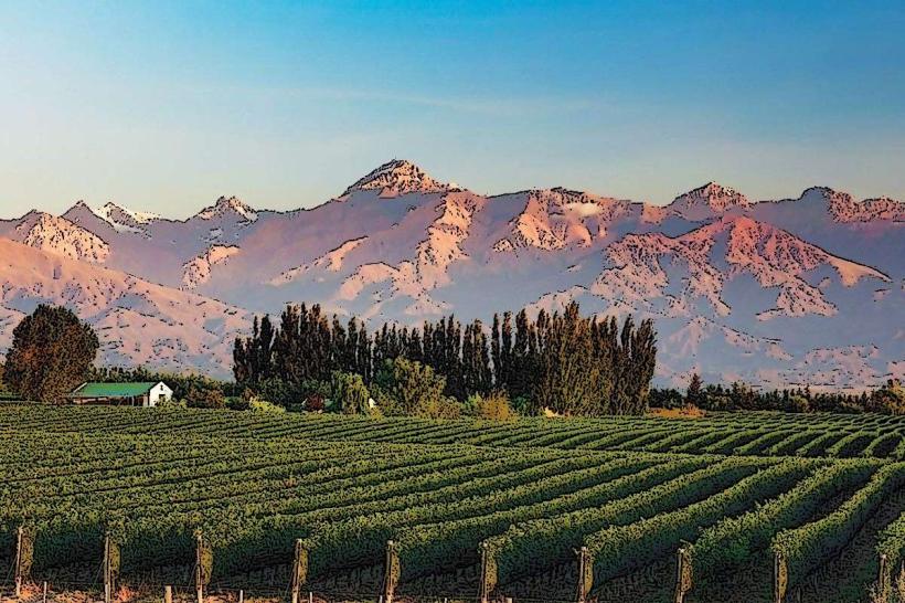
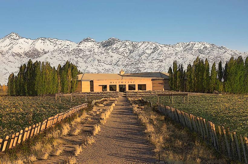
- Bodega Norton (2.5km East)
- Cerro de la Virgen (4km Southwest)
- Parque General San Martín (10km Northeast)
- Museo del Vino (3km East)
- Plaza Independencia (15km Northeast)